 Hiking
 Login
Login More
More EN
EN Premium
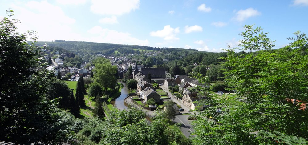
Houffalize: Flower City
automatic translation
12.6 km • Houffalize
2710 0 0/5
12.6 km
0.0 km
0.0 km
10 km
© OpenStreetMap contributors, Tracestrack

 Addresse starting point (approximate)
Rue De Liège 38A, 6660 Houffalize, BE
 signage
The route is not signposted. Use a GPS device or our app to follow the route.
© Eddy & Rita
 Description
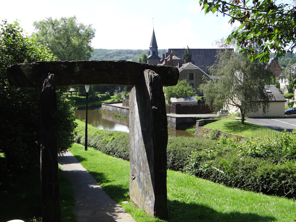
For this beautiful nature walk, we parked the car in the spacious parking lot at the cemetery of Houffalize.
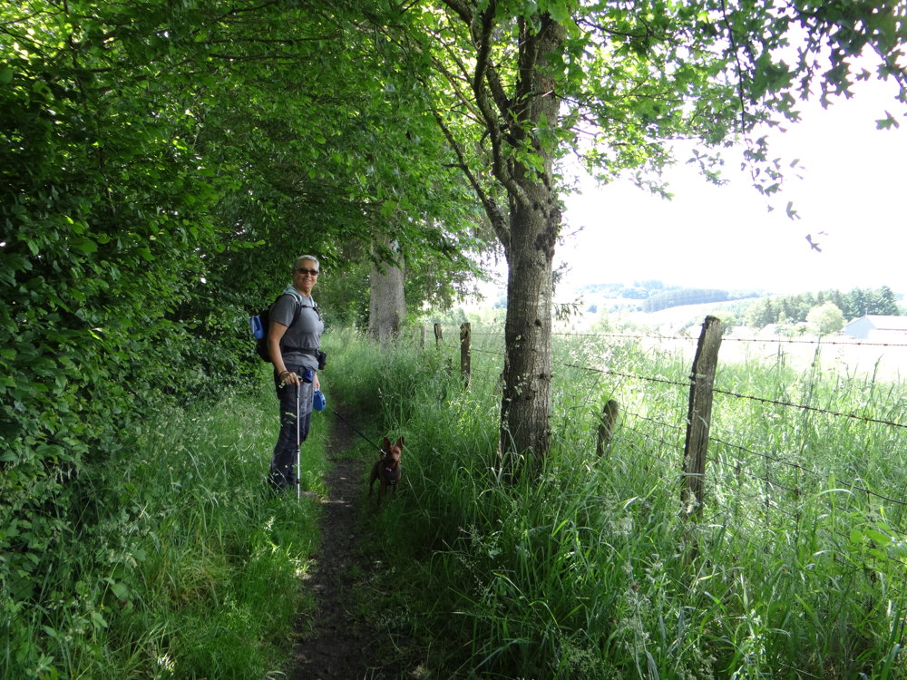
With a short access route, one reaches the walking loop. We used local signposts and also non-signposted accessible paths. It is best to bring a GPS and/or a map.
On this route, one goes from one stunning view to another.
More photos: https://photos.app.goo.gl/bZxj7sYfpjypZL15A
Enjoy the walk,
Eddy, Rita, and Prinske
automatic translation
 nodes to follow
0 km

0.1 km
0.2 km
0.5 km
0.7 km
1 km
1.3 km
1.7 km
2.3 km
2.5 km
2.6 km
2.8 km
2.8 km
3 km
3.4 km
4.5 km
5.5 km
5.5 km
7.3 km
7.5 km
8.2 km
8.6 km
8.7 km
9.4 km
11.1 km
11.5 km
12.4 km

12.6 km


 Upgrade to Premium Plus
