 Hiking
 Login
Login More
More EN
EN Premium
Forest and Vineyards in Ellange
automatic translation
9.5 km • Mondorf-les-Bains
100 0 0/5

 Addresse starting point (approximate)
Rue du Cimetière 10, 5690 Mondorf-les-Bains, LU
 signage
The route is fully signposted with thematic signs (no nodes).
 Description
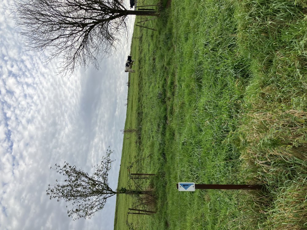
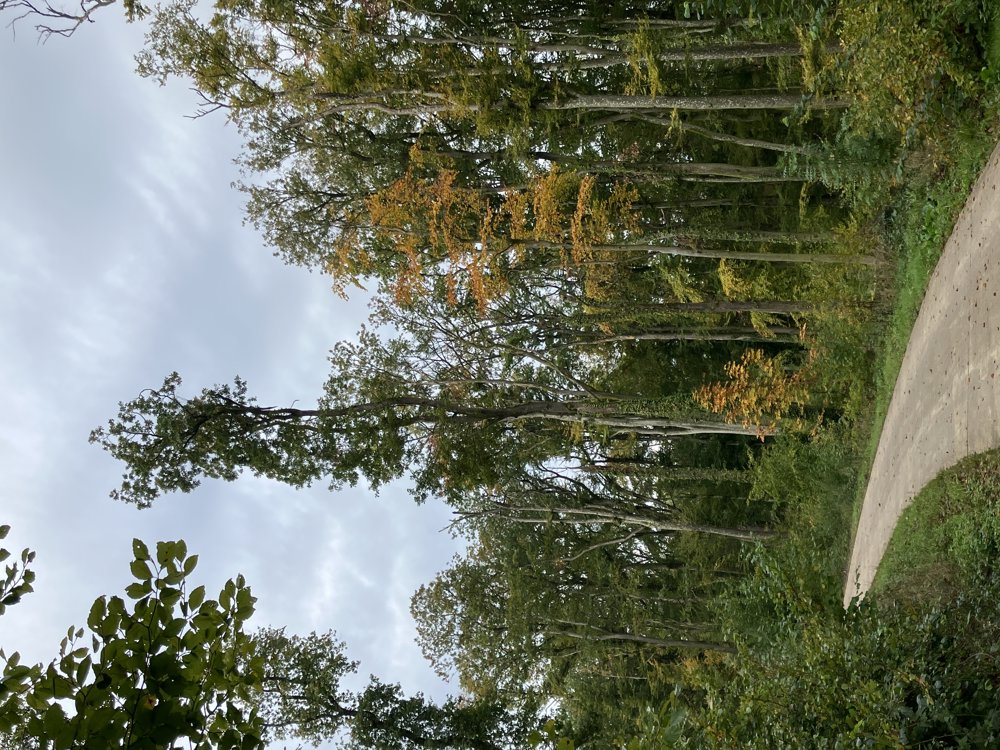
This is a fairly flat walking loop near Remich (Moselle region, Luxembourg) on an almost entirely paved surface (concrete or asphalt). The route is marked with a blue arrow with the number 1.
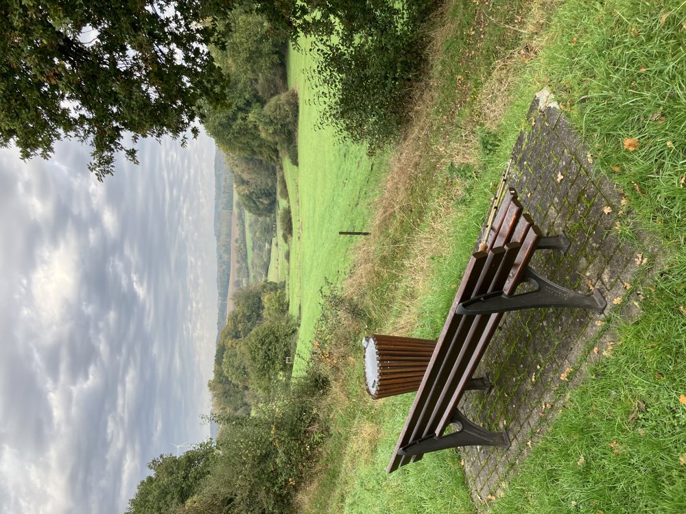
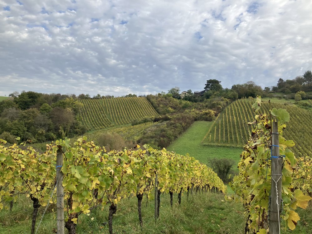
It is best to start opposite the cemetery of Ellange, where a parking lot can be found. Starting from Ellange Gare, a long, flat stretch of 3 to 4 km begins. Along the way, there are resting benches available. At the end of this stretch, turn left and go down quite steeply. You can enjoy beautiful panoramas and views of the surrounding vineyards. A short, steep climb follows thereafter. Then it goes downhill again to the hamlet Emeringerhaff. Turn left again there and then follow a less pleasant kilometer along the road back to Ellange. After that kilometer, there is a fork to the right with a slight incline again. This path eventually leads back to the starting point in Ellange. A beautiful walk for those who do not like unpaved terrain.
automatic translation


 Upgrade to Premium Plus
