 Hiking
 Login
Login More
More EN
EN Premium
Ninglinspo & Chefna
automatic translation
14.5 km • Aywaille
4390 0 0/5

 Addresse starting point (approximate)
Sedoz 5, 4920, BE
 signage
The route is not signposted. Use a GPS device or our app to follow the route through the virtual nodes.
 Description
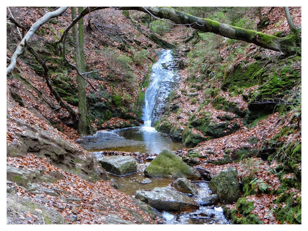
Attention! Dangerous in case of ice and/or wet weather!
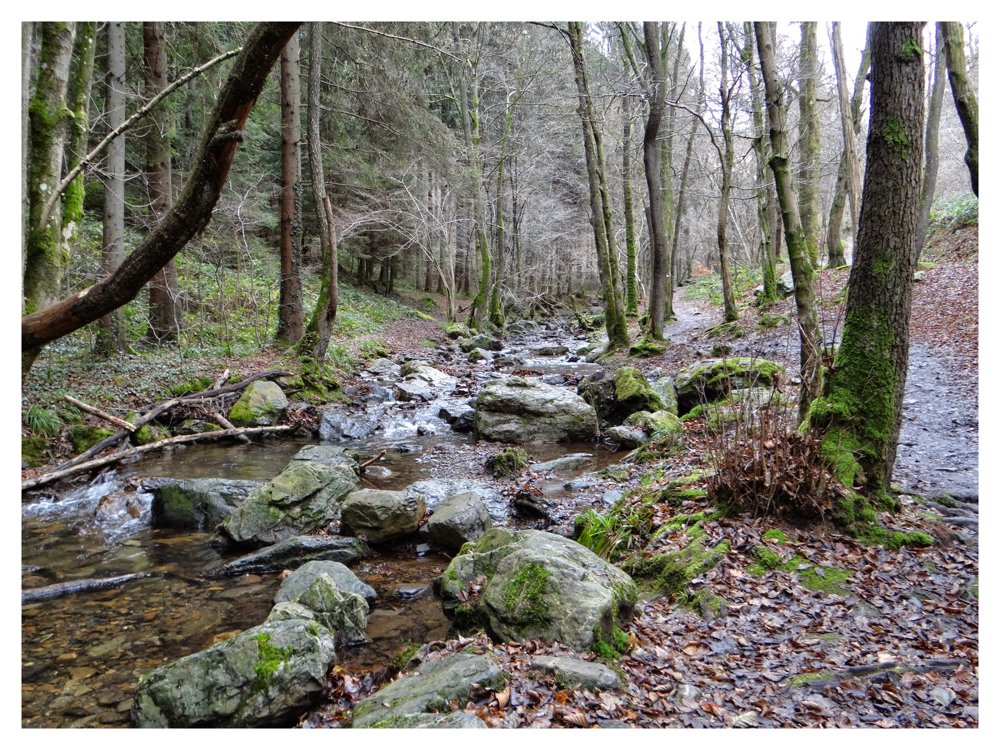
Beautiful hike along the streams 'Ninglinspo & Chefna'. The first time we did this hike (end of April 2007), we had to hang our shoes around our neck to wade through the Ninglinspo. The second time (August 2010), the water level wasn't as high, and we could continue without wet feet. By now (2014), all crossings are equipped with small bridges. No more wading.
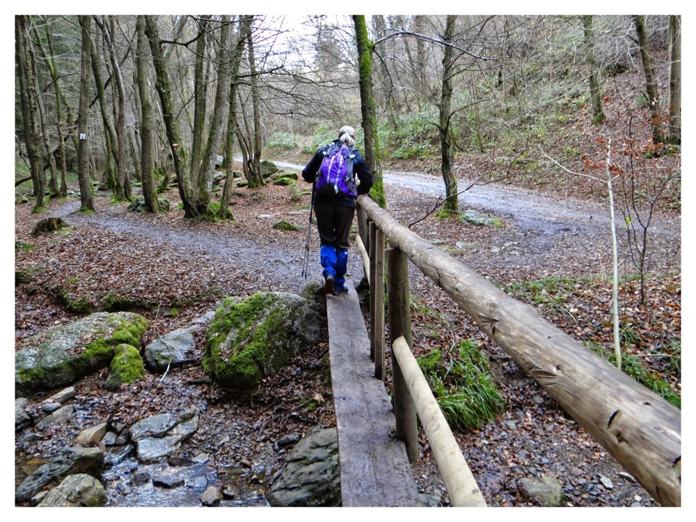
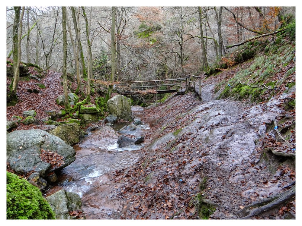
This hike is absolutely not suitable for people with limited mobility. You have to cross several narrow bridges. Some are sometimes no more than a shaved tree trunk. However, it's nice to do with children.
One of our popular routes on another platform (20/10/2024 - 79337 views).
Enjoy this hike,
Eddy, Rita and Prinske
automatic translation
 nodes to follow
0 km
0.5 km
0.7 km
1.3 km
1.7 km
2.5 km
3.2 km
4.2 km
4.4 km

5.7 km
5.8 km
7.5 km
8.3 km
9.8 km
10.1 km
11.8 km
14.4 km
14.5 km


 Upgrade to Premium Plus
