Loading...

Les Bulles (Chateau du Faing)

automatic translation

12.6 km • Chiny

380 0 0/5

12.6 km 0.0 km 0.0 km
10 km
© OpenStreetMap contributors, Tracestrack

route offered by

Eddy & Rita

Icon starting point Addresse starting point (approximate)

Rue Du Faubourg 9, 6811, BE

Icon type signage of route signage

The route is not signposted. Use a GPS device or our app to follow the route through the virtual nodes.

93.1 m 88.9 m 345.1 m 312 m These values indicate respectively the number of meters to rise, the highest and the lowest point in meters.
Atmosphere image 1 of route Les Bulles (Chateau du Faing) Atmosphere image 2 of route Les Bulles (Chateau du Faing) Atmosphere image 3 of route Les Bulles (Chateau du Faing)
© Eddy & Rita

Icon description route Description

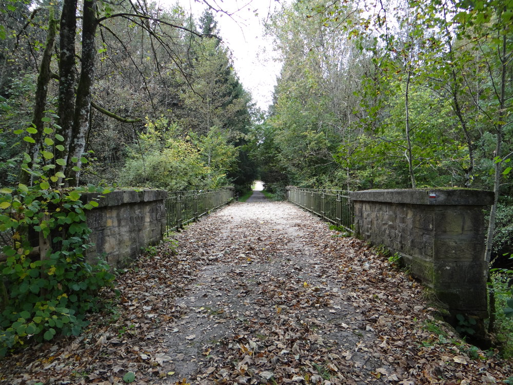
This route consists of a part of GR 16 from Le Pont de Fer over the stream La Vierre to the intersection Rue Du Lieutenant de Crépy (N891) - Rue de la Chevrette in Les Bulles, and the GR16 Variante-Les-Bulles.

We parked the car in the spacious parking lot by the church of Les Bulles. The walk is not spectacular and consists of 78% paved roads. There is not much traffic on the way.

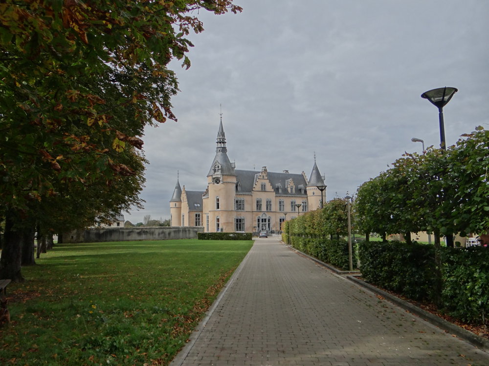
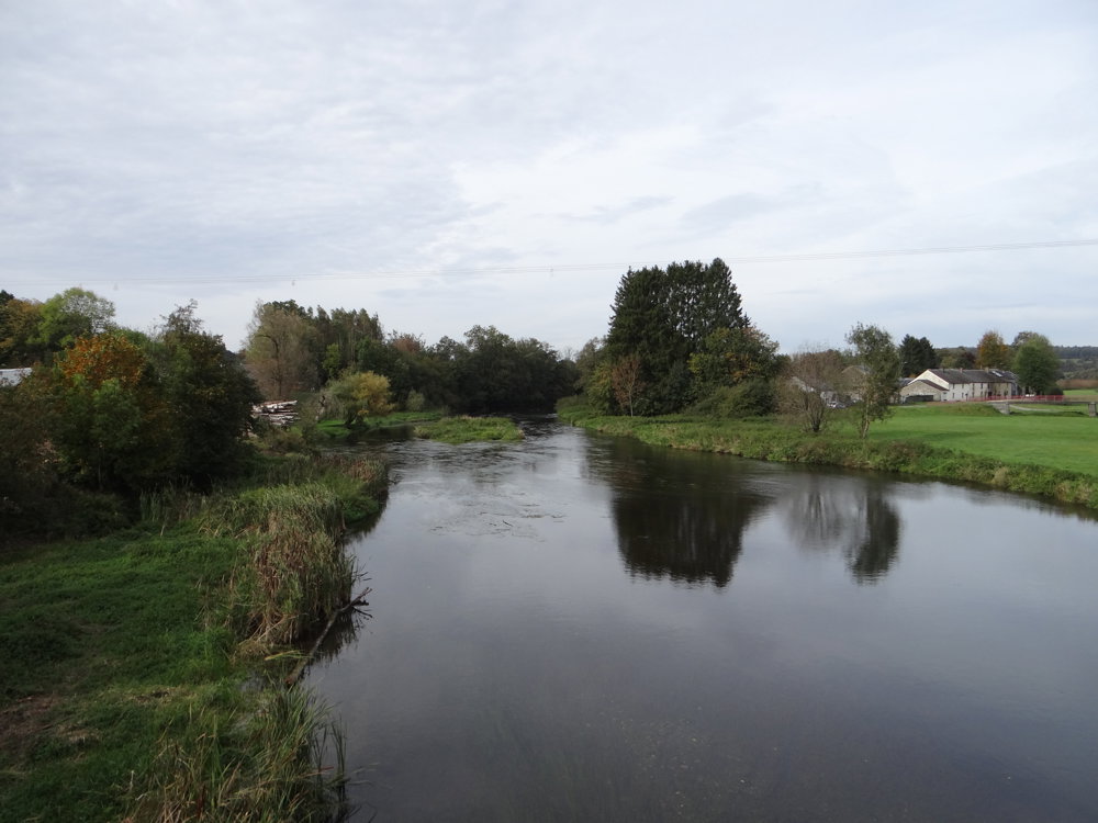
Just enjoy walking between the meadows and here and there a bit of forest. Due to the vegetation, you don't see much of the Semois. A highlight of the walk is the castle of Faing in Jamoigne. We wanted to see it up close.

More photos: https://photos.app.goo.gl/htiiSeMA6zrbhtiV6

Enjoy this walk,
Eddy, Rita and Prinske

automatic translation

Icon nodes to follow nodes to follow

Image node TP
0 km
Image node 674
0.5 km
Image node 636
2.5 km
Image node 458
2.7 km
Image node 81
4.9 km
Image node 410
5.6 km
Image node 726
8.5 km
Image node 399
8.7 km
Image node 15
12.1 km
Image node TP
12.6 km
This route does not have any reviews yet. Be the first!
Rate route!

Which POI do you want to show on the map?

Experimental hiking network
Unsigned icon

The route you have chosen runs (partly) along an experimental virtual hiking node network (the blue-coloured nodes and sections on the map).

You must be logged in to plan routes here.

Experimental hiking network
Unsigned icon

The route you have chosen runs (partly) along an experimental virtual hiking node network (the blue-coloured nodes and sections on the map).

These routes are not controlled in the field. Before you start hiking here, take a minute to read what an experimental hiking node network is and what rules you should follow when hiking here.

By clicking 'Accept all cookies,' you agree to the use of cookies for an enhanced user experience, website traffic analysis, and personalized advertisements. Cookie policy