 Hiking
 Login
Login More
More EN
EN Premium
Beauraing: route 1
automatic translation
7.9 km • Beauraing
810 0 0/5

 Addresse starting point (approximate)
Allée Du Nondeux 53, 5570, BE
 signage
The route is fully signposted with thematic signs (no nodes).
 Description
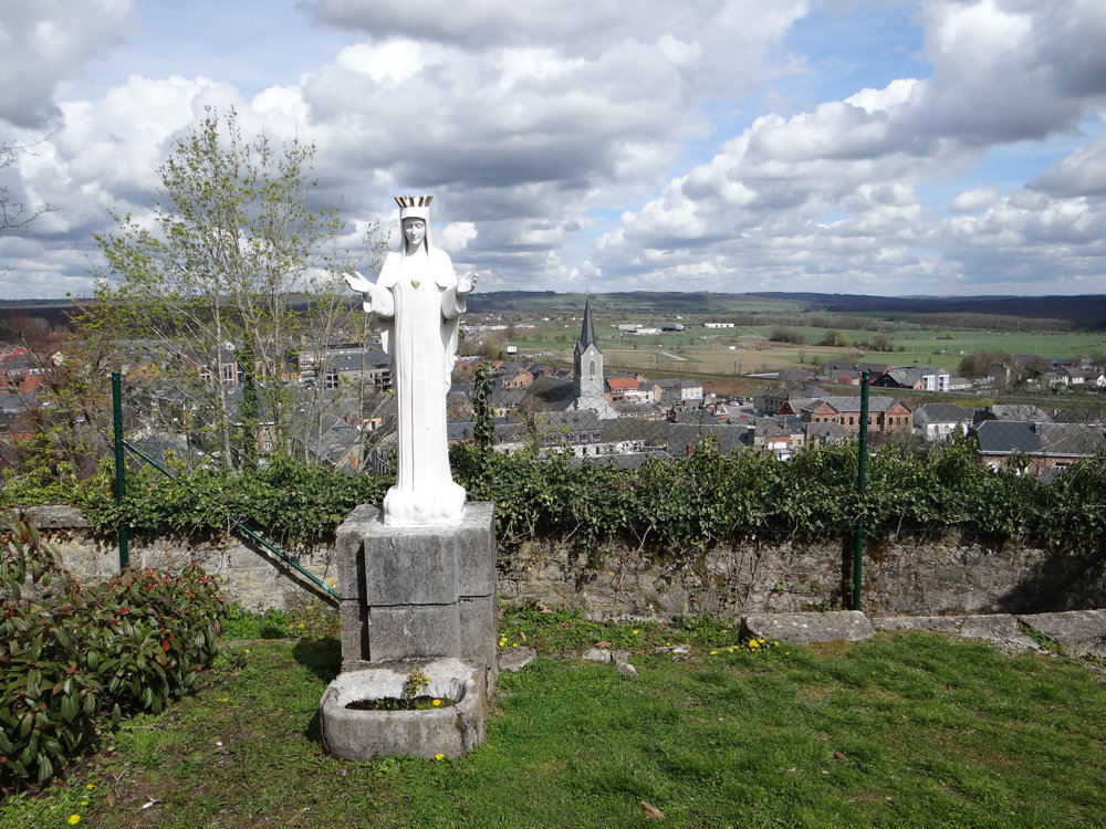
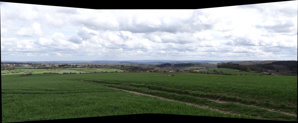
The route takes the walker to a height that offers great views of the surroundings and various villages. Simply beautiful! Pure enjoyment for those who love panoramas. The route contains quite a few paved roads, but who cares?
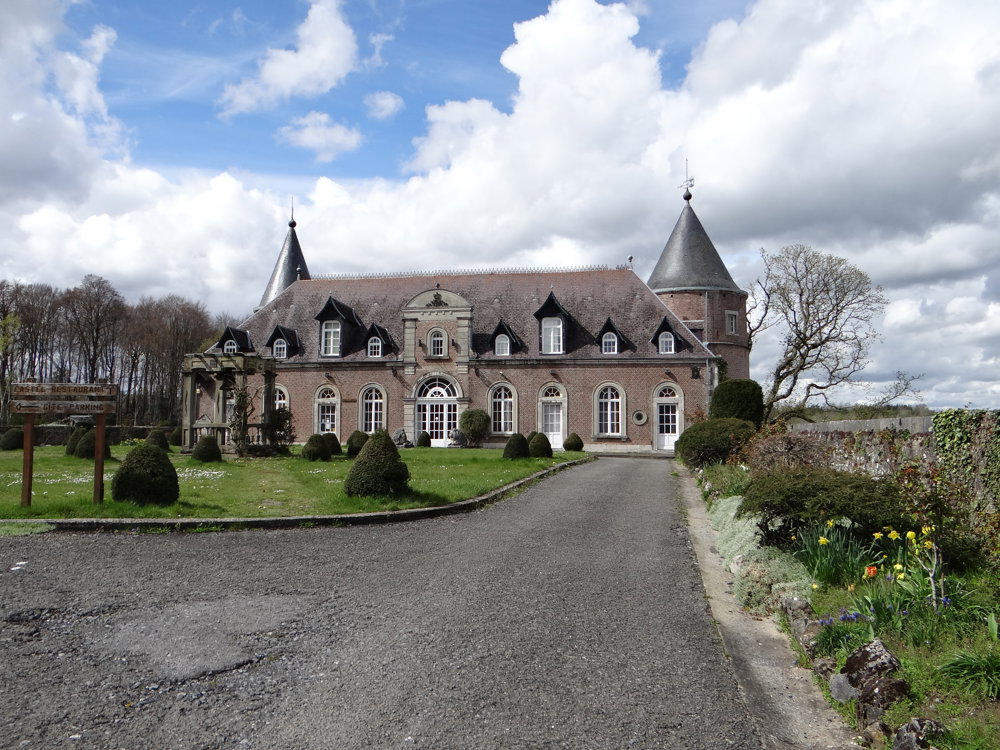
The loop takes you around the village of Wancennes to descend again to Beauraing. At Saint Pierre Castle, the signage is not very clear. Is it through the park or along the N981? We went along the N981 only to find out later that you can also get back to Beauraing through the beautiful park. Although the road is safe, it is better to go through the park.
More photos: https://photos.app.goo.gl/UeGmhjWB3AXzFvz98
Enjoy this walk,
Eddy, Rita, and Prinske
automatic translation


 Upgrade to Premium Plus
