 Hiking
 Login
Login More
More EN
EN Premium
🌳Forest Walk Palingbeek🌳
automatic translation
7.9 km • Ypres
411 0 0/5

 Addresse starting point (approximate)
Palingbeekstraat 18, 8902 Ieper, BE
 signage
The route is fully signposted with nodes.
 Description
🌳Palingbeek Forest Walk🌳
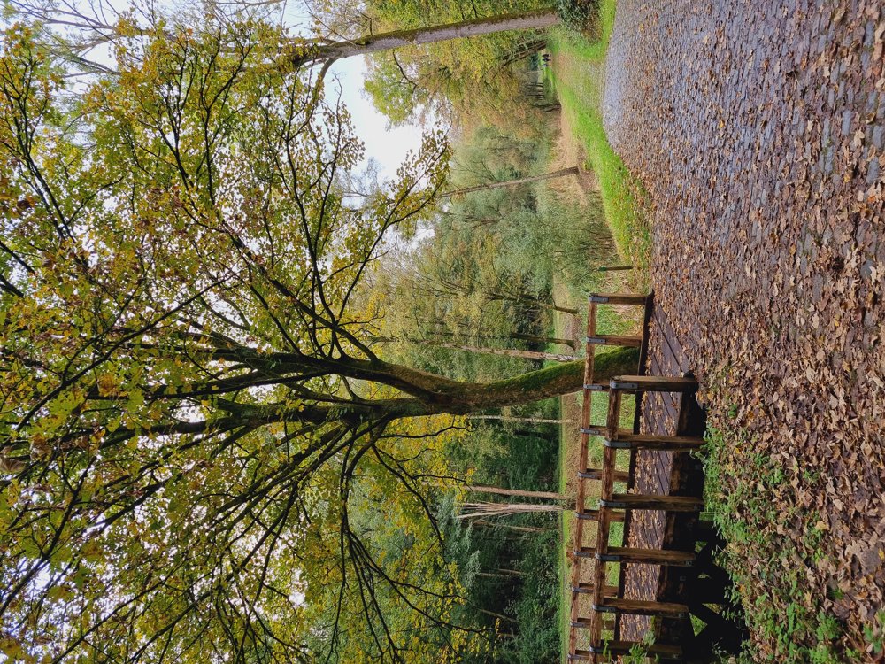
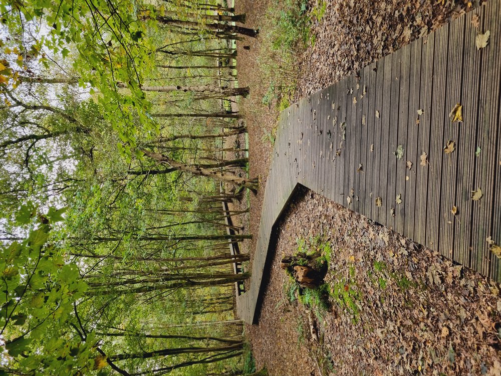
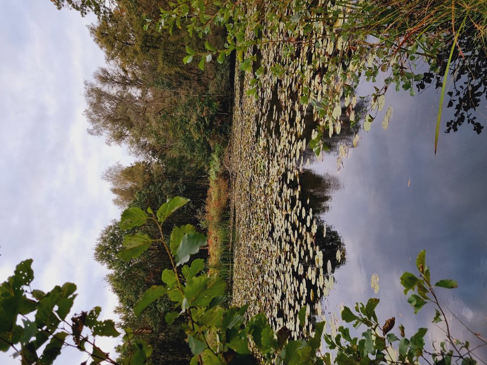
🍂Autumn, that's when you have to be in the forest. The leaves change color, the smell of moisture, the mushrooms, hmmm delicious.
🖍I mapped out a walk that will hopefully please you. Unfortunately, not buggy-friendly, as there are some plank stairs and the slightly emerging mud that can be a bit tricky.
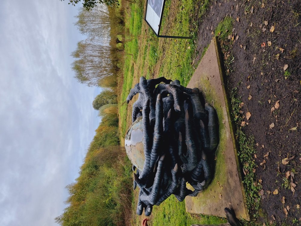
🤸♀️For the young walkers, it is ideal. Fun wooden figures and playground🛝
A walk with a lot of variety and something for everyone, playful, educational, and above all relaxing.🪖🥾🪇📚🍂🪵🦫
👩🏫 My rating: 8/10
🐾 Dogs welcome on a leash
👶🏻 Not buggy-friendly
🪑Plenty of picnic and seating areas
☕️ Catering available in the provincial domain
🅿️ Palingbeekstraat, Ypres (West Flanders)
automatic translation
 nodes to follow
0 km
0.5 km
1.6 km
1.6 km
1.8 km
2.5 km
2.9 km
3.4 km
3.5 km
4.7 km
4.8 km
6.2 km
6.4 km
7.9 km


 Upgrade to Premium Plus
