 Hiking
 Login
Login More
More EN
EN Premium
Manderfeld: High Fens
automatic translation
22.3 km • Büllingen
300 0 0/5
22.3 km
0.0 km
0.0 km

 Addresse starting point (approximate)
Manderfeld 322, BE
 signage
The route is fully signposted with nodes.
© Eddy & Rita
 Description
Manderfeld is a village and a borough in the southeast of the Belgian municipality of Büllingen.
Manderfeld is located a few kilometers from the Belgian-German border in the High Fens nature area at an altitude between 540 and 670 meters. The Our springs in the area.
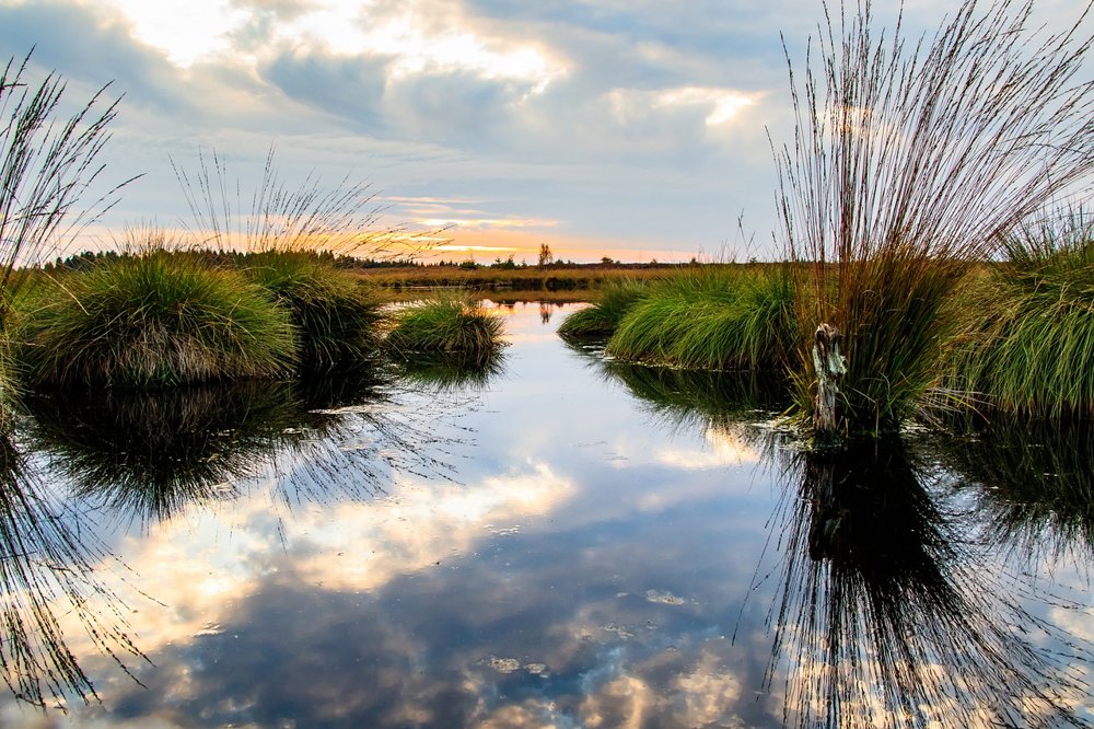
We have no photos of this walk. The image comes from Pixabay and can be used freely.
Enjoy this walk,
Eddy, Rita, and Prinske
automatic translation
 nodes to follow
0 km
0.2 km
1 km
2 km
3 km
3.1 km
4.2 km
5.6 km
5.7 km
8.5 km
8.5 km
9 km
9.3 km
11.4 km
13.3 km
15.3 km
15.9 km
16.6 km
17.4 km
18.3 km
19.6 km
19.6 km
21.1 km
22.3 km


 Upgrade to Premium Plus
