 Hiking
 Login
Login More
More EN
EN Premium
Balen De Waterhoek
automatic translation
12.6 km • Balen
2810 0 0/5

 Addresse starting point (approximate)
Olmensebaan 126, 2490 Balen, BE
 signage
The route is fully signposted with nodes.
 Description
The departure is at Restaurant De Waterhoek in Balen. Right at junction 10, from there we set off along the canal towards junction 11, where you start to follow the beautiful GR561.
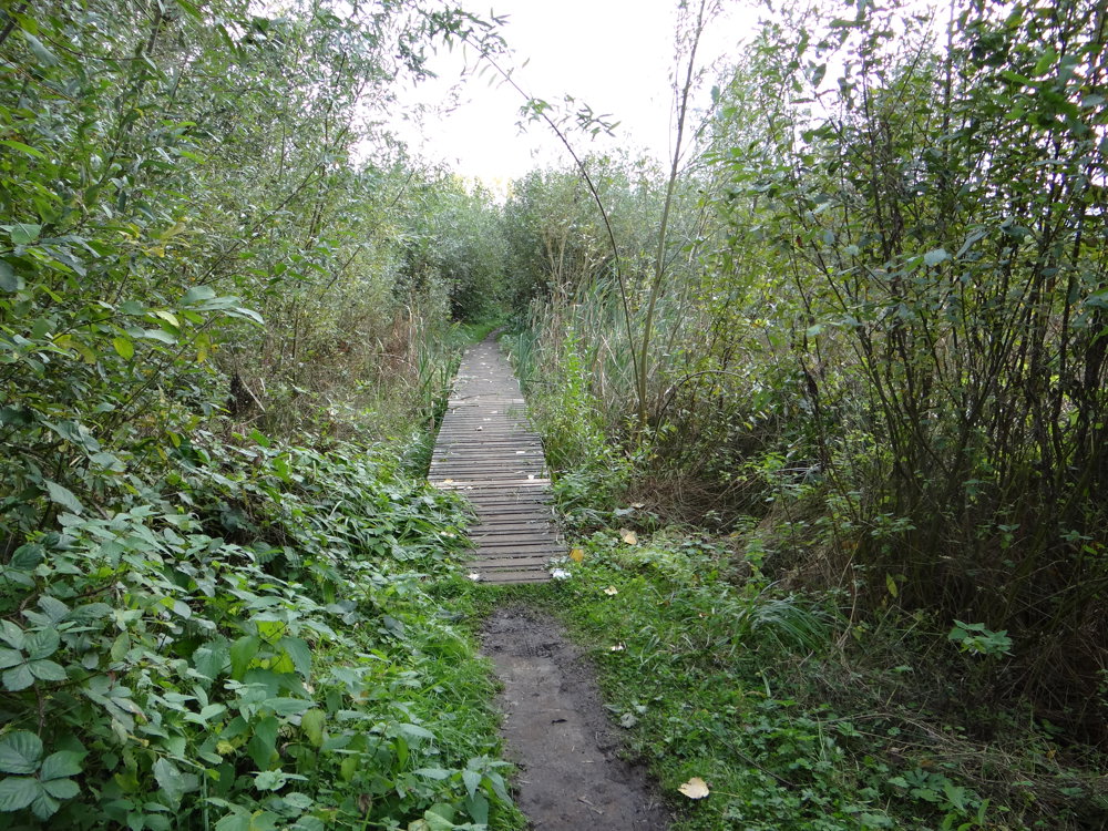
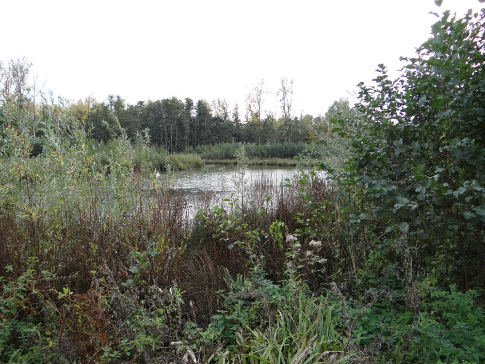
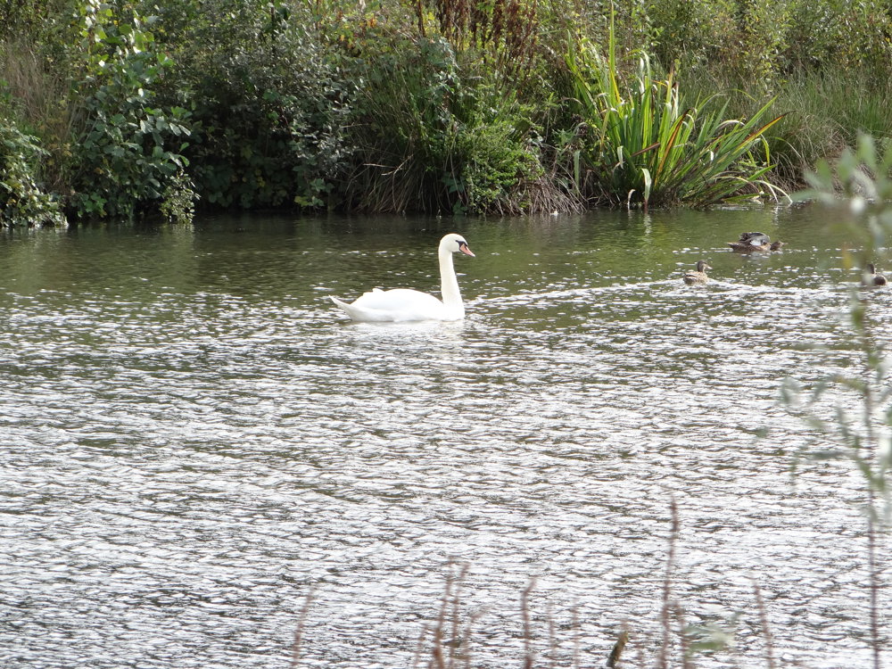
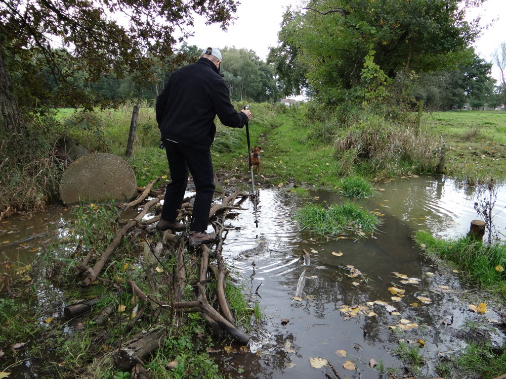
Those who know GR paths also know that you can often encounter narrow, muddy paths. There is no shortage of mud and water. The GR561 runs through the Griesbroek. The Griesbroek is a nature reserve between the Canal Dessel-Kwaadmechelen and the Straalmolen. Central in the area lies the Grote Nete. The Griesbroek is one of the many nature reserves in the Grote Netewoud.
After leaving the Griesbroek, you cross the canal to then walk through forests and fields towards Olmen. You truly leave the center aside to walk through several streets and lanes towards the 'Scheps nature reserve'. You pass the beautiful St. Odrada chapel and then return via paved roads to the starting point.
More photos: https://photos.app.goo.gl/yZisocHmv3RfbDMX9
Eddy, Rita and Prinske
automatic translation
 nodes to follow
0 km
0.1 km
0.4 km
0.4 km
0.7 km
2 km
2.6 km
2.8 km
3.2 km
4.4 km
4.6 km
5.6 km
6.1 km
6.4 km
7.4 km
7.4 km
8.3 km
8.8 km
9.1 km
9.6 km
9.9 km
10.2 km
10.7 km
11.1 km
11.5 km
11.7 km
12.5 km
12.5 km


 Upgrade to Premium Plus
