Loading...

Troisvierges Panorama Route

automatic translation

17.1 km • Troisvierges

761 0 0/5

17.1 km 0.0 km 0.0 km
10 km
© OpenStreetMap contributors, Tracestrack

route offered by

Eddy & Rita

Icon starting point Addresse starting point (approximate)

Rue Staedtgen 18, 9906 Troisvierges, LU

Icon type signage of route signage

The route is partially signposted with thematic signs (no nodes). Use a GPS device or our app to follow the route.

287.4 m 305.5 m 532.2 m 421.5 m These values indicate respectively the number of meters to rise, the highest and the lowest point in meters.
Atmosphere image 1 of route Troisvierges Panorama Route Atmosphere image 2 of route Troisvierges Panorama Route Atmosphere image 3 of route Troisvierges Panorama Route
© Eddy & Rita

Icon description route Description

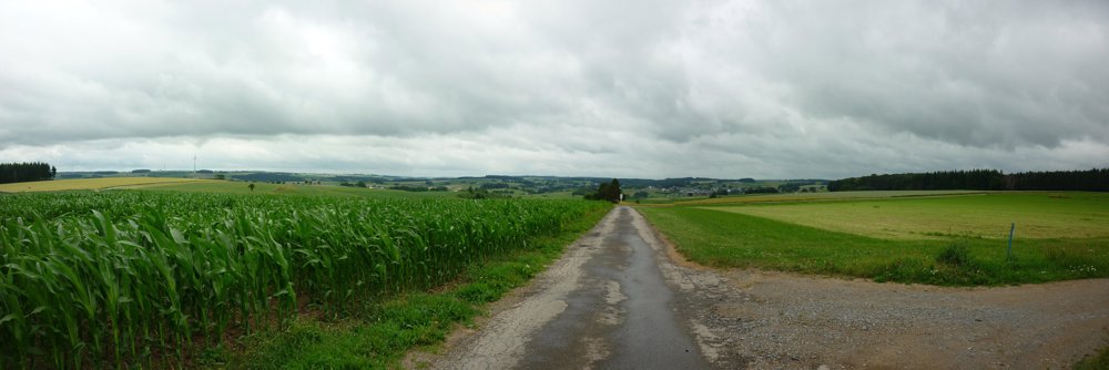
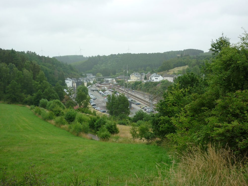
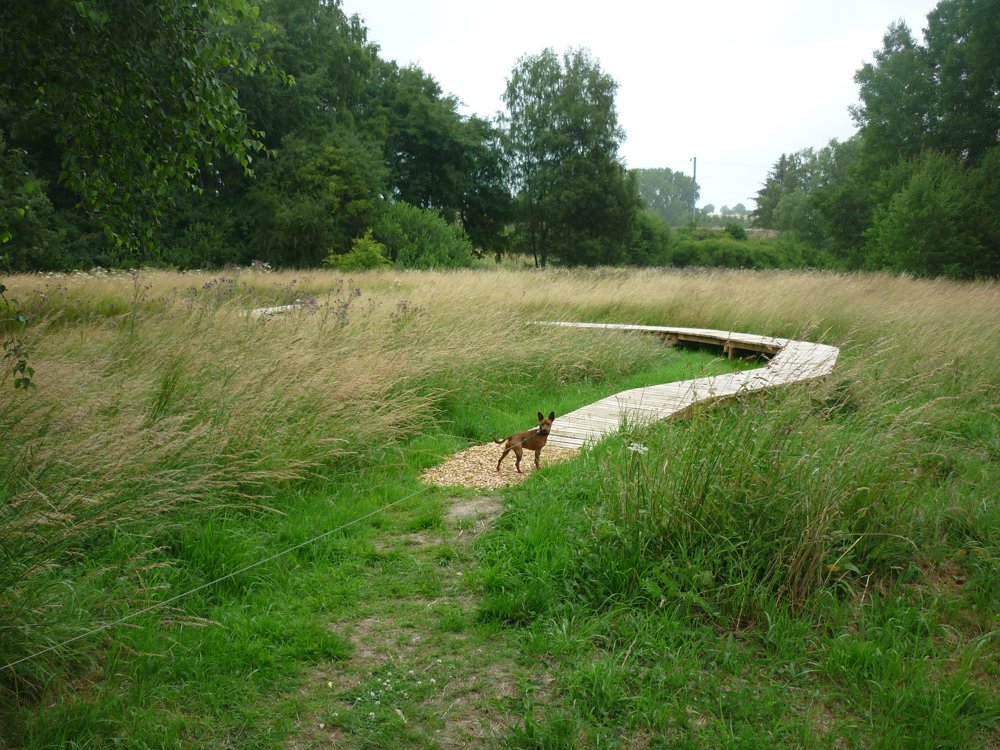
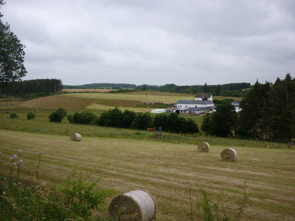
We did this beautiful cross-border hike on 07-07-2022. It is a combination of two hiking loops: the "Vluchthelpersroute" and the nature trail "Cornelysmillen". The departure is from the station of Troisvierges.

What is there to tell about this hike? A lot, really a lot. However, one must walk it oneself to truly enjoy the beautiful nature, the distant views, the lovely forests, and the wonderfully fragrant plants and herbs. The photos reveal a little bit of what there is to see, but... put on your hiking boots and go out there.

More photos: https://photos.app.goo.gl/2152i9JbFauBXXzm9
Have fun on this hike,

Eddy, Rita, and Prinske

automatic translation

Icon nodes to follow nodes to follow

Image node TP
0 km
Image node 300
1.4 km
Image node 432
1.6 km
Image node 284
2.4 km
Image node 513
3.9 km
Image node 456
5.1 km
Image node 568
6.4 km
Image node TP
9.2 km
Icon deviation route
10.5 km
Icon deviation route
11.8 km
Image node 422
11.9 km
Image node TP
13.4 km
Icon deviation route
13.9 km
Icon deviation route
15.1 km
Icon deviation route
16.7 km
Icon deviation route
16.9 km
Image node TP
17.1 km
This route does not have any reviews yet. Be the first!
Rate route!

Which POI do you want to show on the map?

Experimental hiking network
Unsigned icon

The route you have chosen runs (partly) along an experimental virtual hiking node network (the blue-coloured nodes and sections on the map).

You must be logged in to plan routes here.

Experimental hiking network
Unsigned icon

The route you have chosen runs (partly) along an experimental virtual hiking node network (the blue-coloured nodes and sections on the map).

These routes are not controlled in the field. Before you start hiking here, take a minute to read what an experimental hiking node network is and what rules you should follow when hiking here.

By clicking 'Accept all cookies,' you agree to the use of cookies for an enhanced user experience, website traffic analysis, and personalized advertisements. Cookie policy