 Hiking
 Login
Login More
More EN
EN Premium
Oosterlo: Zammels Broek and Trichelbroek
automatic translation
11.7 km • Geel
2660 0 0/5

 Addresse starting point (approximate)
Eindhoutseweg 6, 2440 Geel, BE
 signage
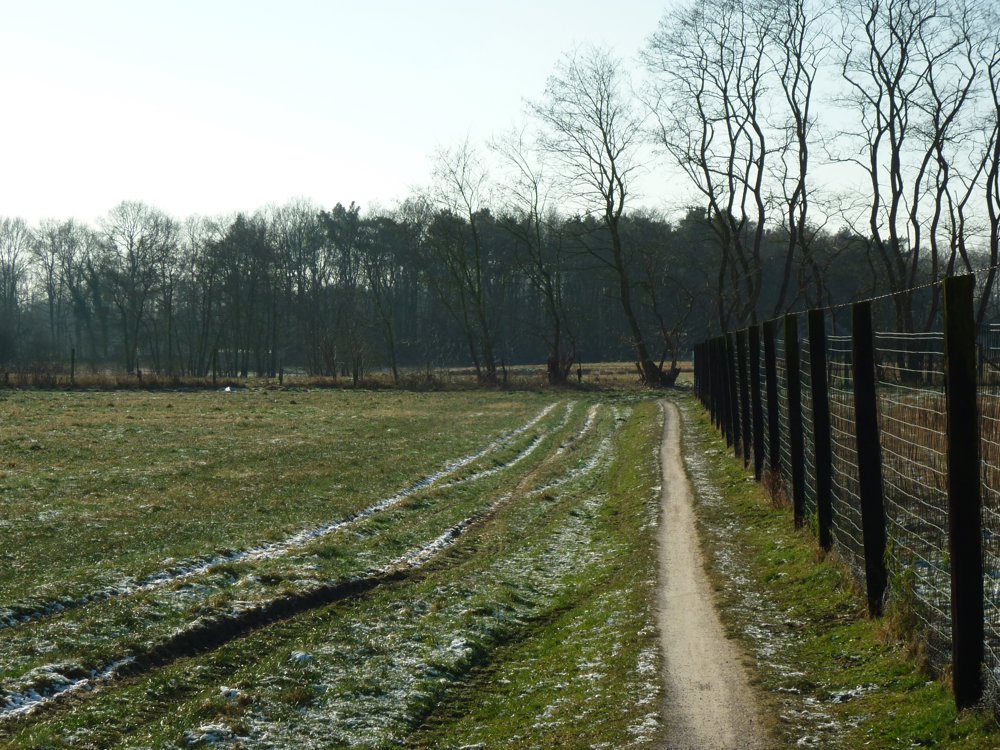
The route is fully signposted with nodes.
 Description
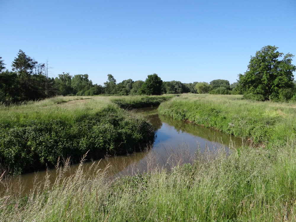
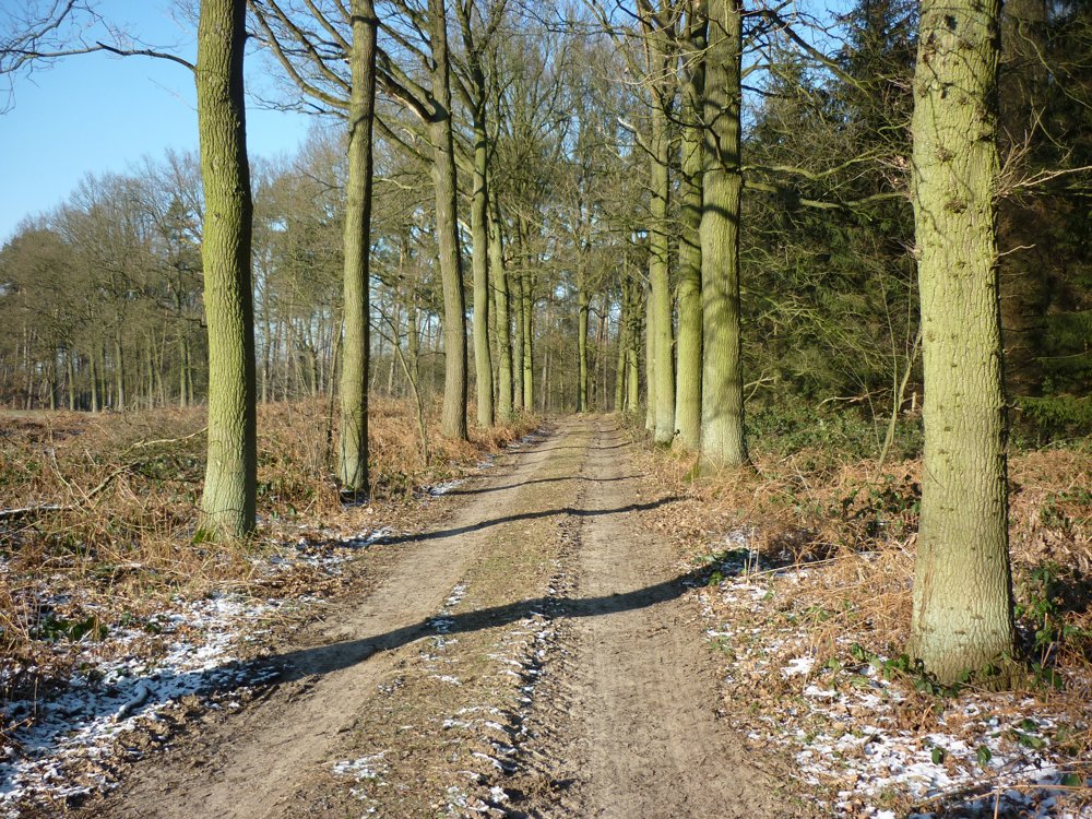
Beautiful nature walk along the Grote Nete and the Grote Laak.
Parking is available in the spacious parking area on the Eindhoutseweg near the Grote Nete in Oosterlo.
The landscape 'Zammels Broek and Trichelbroek' is located in the territories of the municipalities of Geel and Laakdal in the valley of the Grote Nete and surrounded by the hamlets of Zammel, Oosterlo, Varendonk, and Veerle. It is bounded by the Sint-Gebernusstraat and Kalvariebergstraat in the north, the Eindhoutseweg in the northeast, as well as together with Oude Veerlebaan in the east, the Hulstsestraat in the south, and the Grotesteenweg in the west.
This area is a beautiful enclosed valley landscape, defined by the strongly meandering course of the Grote Nete in the north and the Laak in the south.
Source: Immovable Heritage of Flanders.
More photos at: https://photos.app.goo.gl/oH6stg9fJ7Z19TVg7
Enjoy this walk,
Eddy, Rita and Prinske
automatic translation
 nodes to follow
0 km
0.3 km
2.8 km
3.2 km
4.3 km
4.3 km
4.6 km
5.4 km
6 km
6.8 km
7.9 km
8.5 km
8.8 km
9.3 km
10.2 km
11.7 km


 Upgrade to Premium Plus
