 Hiking
 Login
Login More
More EN
EN Premium
The Liereman-The Curlew
automatic translation
19 km • Oud-Turnhout
1531 0 0/5
19 km
0.0 km
0.0 km
10 km
© OpenStreetMap contributors, Tracestrack

 Addresse starting point (approximate)
De Blokken 17, 2360 Oud-Turnhout, BE
 signage
The route is fully signposted with nodes.
© Eddy & Rita
 Description
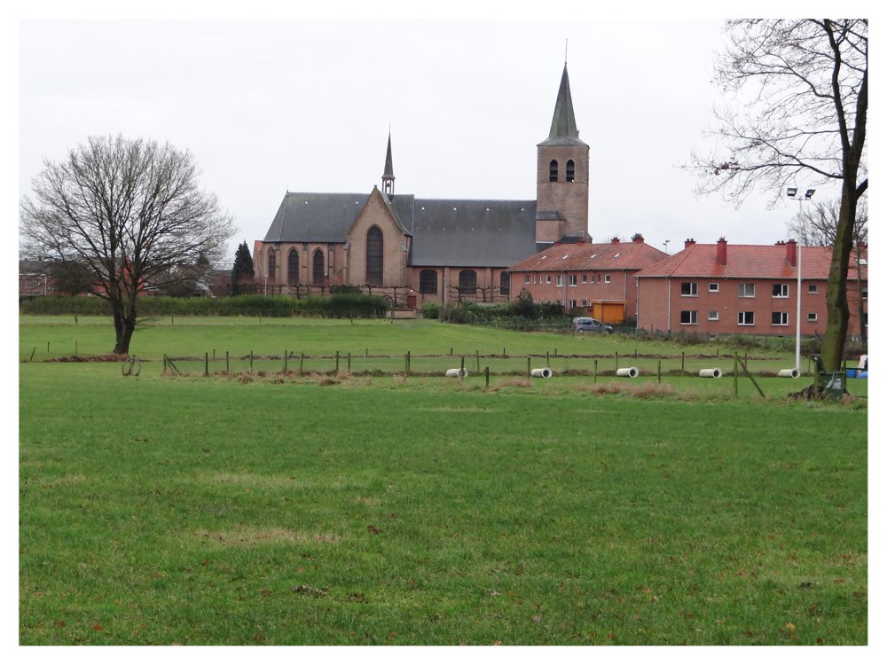
Beautiful walk starting at the church in Oud-Turnhout.
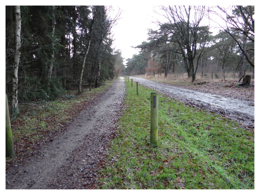
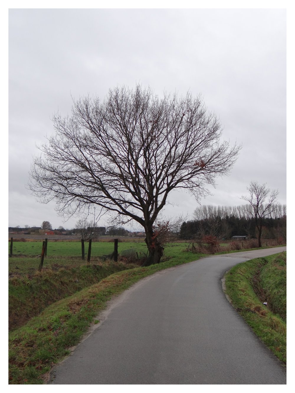
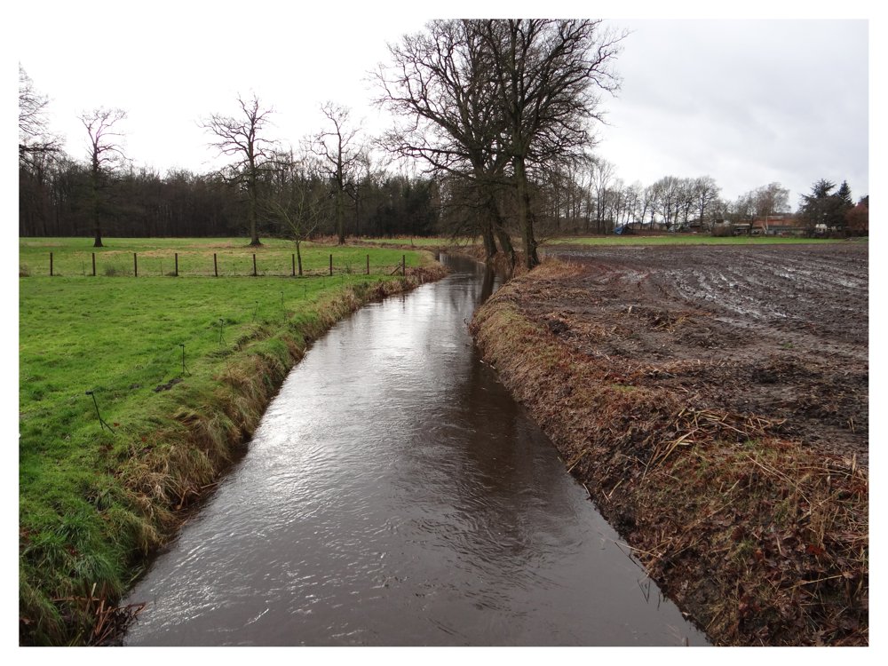
We first walk past the sports center De Hoogt and then choose the direction of Oosthoven. From Oosthoven, we head back towards Oud-Turnhout, passing through the 'De Liereman' landscape.
We include a beautiful part of the nature reserve 'De Korhaan' and walk via a few sandy roads to the visitor center of 'De Liereman', where you can enjoy a delicious local beer 'Gageleer'.
More photos: https://photos.app.goo.gl/VveDQNM7ddtmwfLHA
Enjoy this walk,
Eddy, Rita and Prinske
automatic translation
 nodes to follow
0 km
1.1 km
1.8 km
2.7 km
4.1 km
4.3 km
4.7 km
5.4 km
6.9 km
7.5 km
8.9 km
9.7 km
10.8 km
11.7 km
12.9 km
13.2 km
15.3 km
15.5 km
15.5 km
15.8 km
16.8 km
16.8 km
17.1 km
17.5 km
17.5 km
18.1 km
19 km


 Upgrade to Premium Plus
