 Hiking
 Login
Login More
More EN
EN Premium
Estate De Utrecht
automatic translation
14.4 km • Reusel-De Mierden
2241 1 0.5/5

 Addresse starting point (approximate)
Park Zwartven 7, 5095EZ Reusel-De Mierden, NL
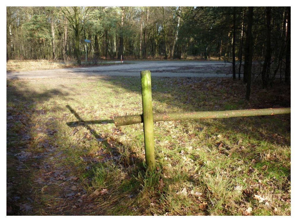
 signage
The route is fully signposted with nodes.
 Description
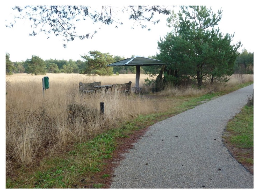
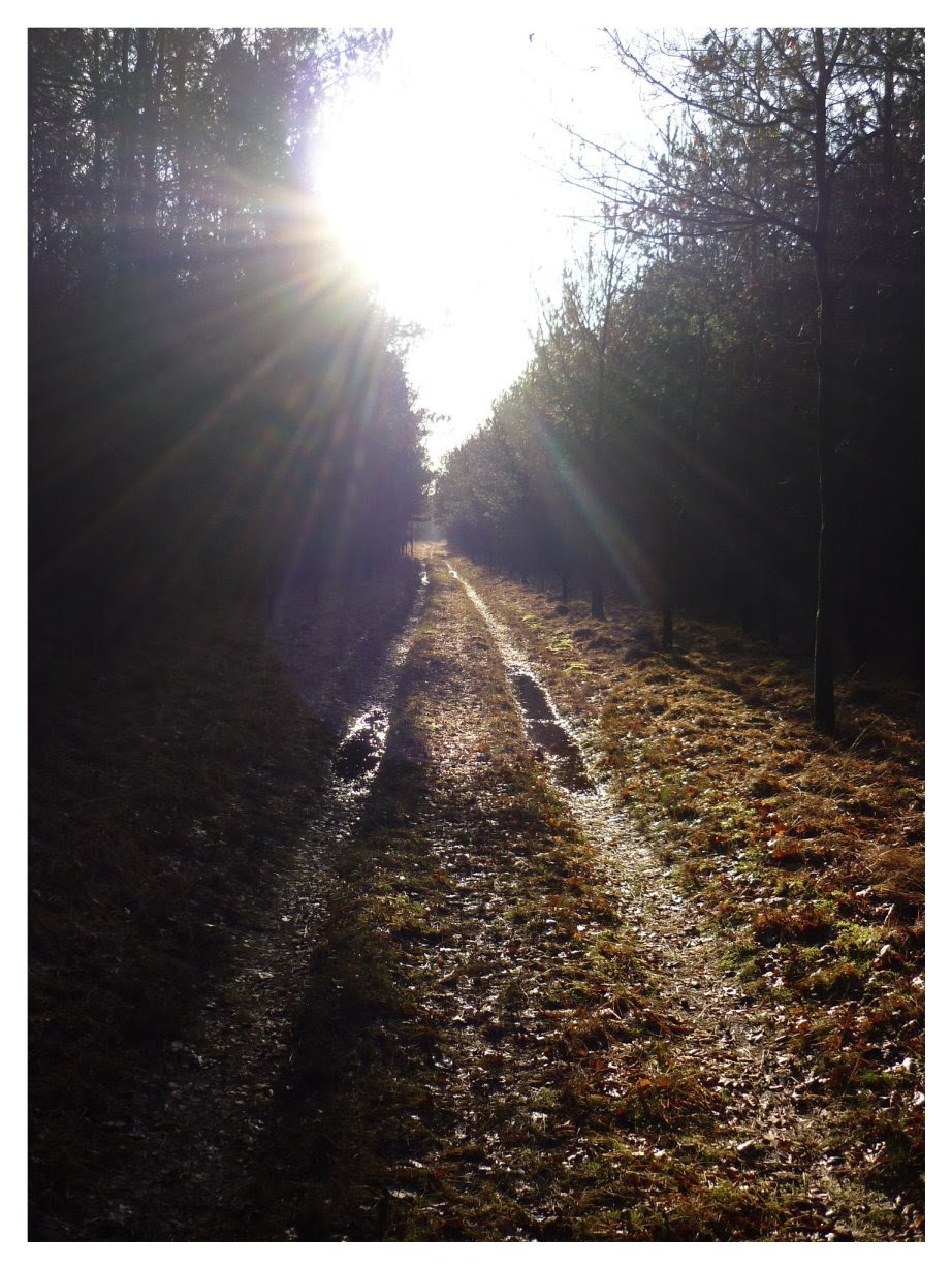
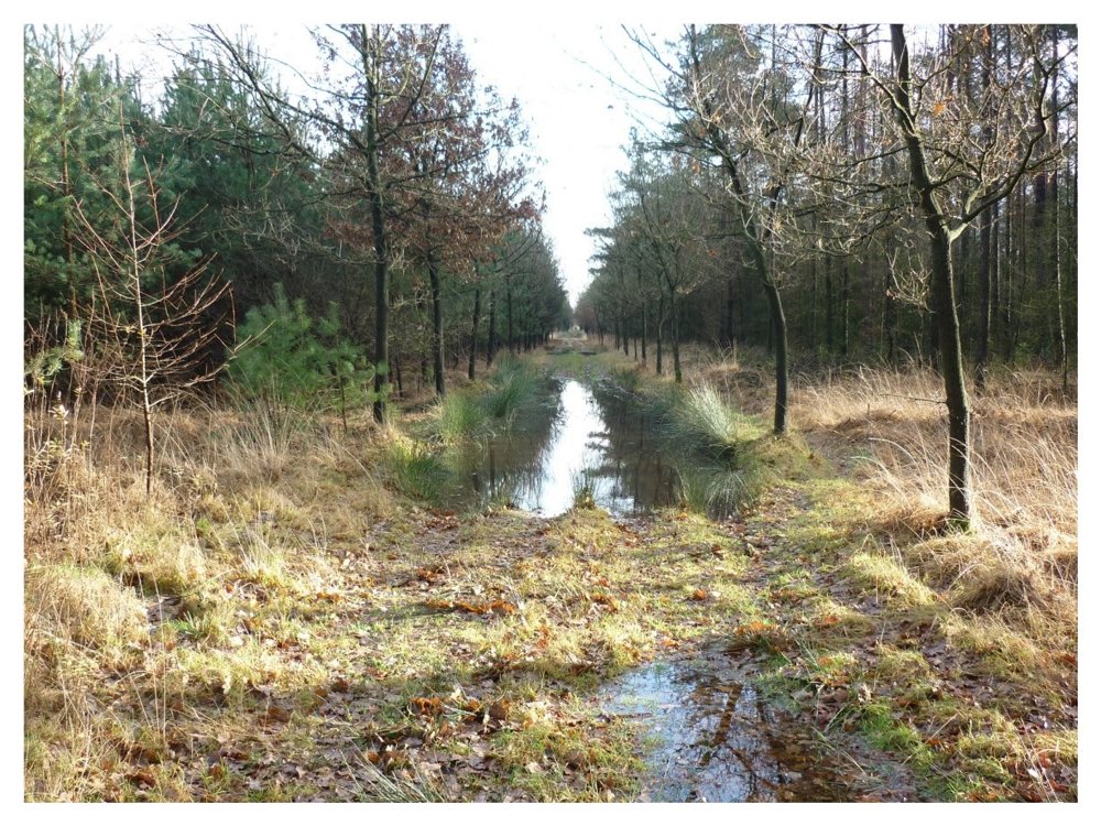
Beautiful nature walk in and around the 'Landgoed De Utrecht'.
We walk in and around the 'Landgoed De Utrecht'. The walk is 95% on unpaved paths. The landscape regularly changes scenery. With luck, you can see wild deer there; we saw five. Our happiness knew no bounds. :o)
Good waterproof walking shoes are recommended.
More photos: https://photos.app.goo.gl/kpfkpWToyF9LSt5YA
Enjoy this walk,
Eddy, Rita, and Prinske
automatic translation
 nodes to follow
0 km
1.2 km
2.6 km
3.3 km
3.8 km
5.4 km
6.4 km
7.9 km
9.2 km
10.3 km
10.9 km
12.1 km
13.5 km
14.4 km
Saturday, October 19, 2024 by G.S.okay maybe a nice walk but don't find the numbers of the junctions , so aren't there
automatic translation
Sunday, October 20, 2024 by Eddy & RitaIndeed GS, the route is still being modified. We are working on it. Kind regards, Eddy&Rita
automatic translation
Monday, October 21, 2024 by Eddy & RitaHas been updated. ;o)
automatic translation
Wednesday, October 23, 2024 by G.S.okay cool thank you
automatic translation
Thursday, October 24, 2024 by Eddy & RitaYou're welcome GS. Maybe adjust the asterisks if you can at least? The half asterisk says nothing about the hike. Kind regards, Eddy&Rita
automatic translation


 Upgrade to Premium Plus
