 Hiking
 Login
Login More
More EN
EN Premium
Ramsel: Langdonken
automatic translation
15.7 km • Herselt
1080 0 0/5

 Addresse starting point (approximate)
Stationsstraat 42, 2230 Herselt, BE
 signage
The route is fully signposted with nodes.
 Description
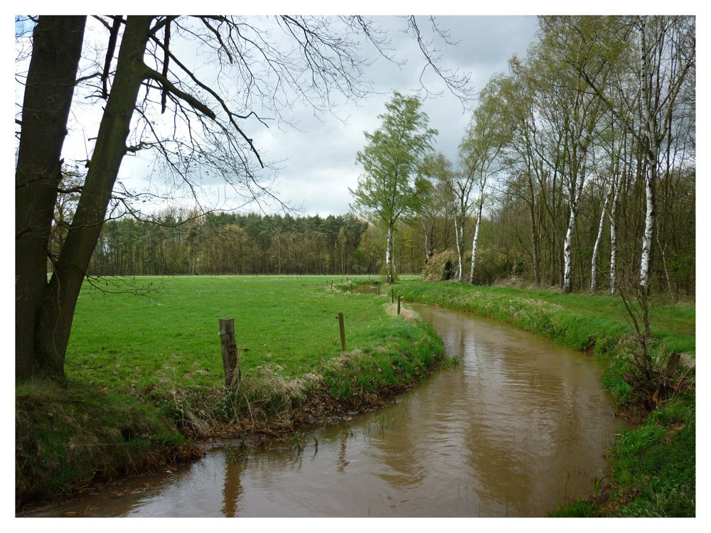
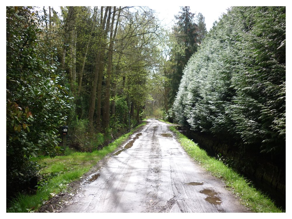
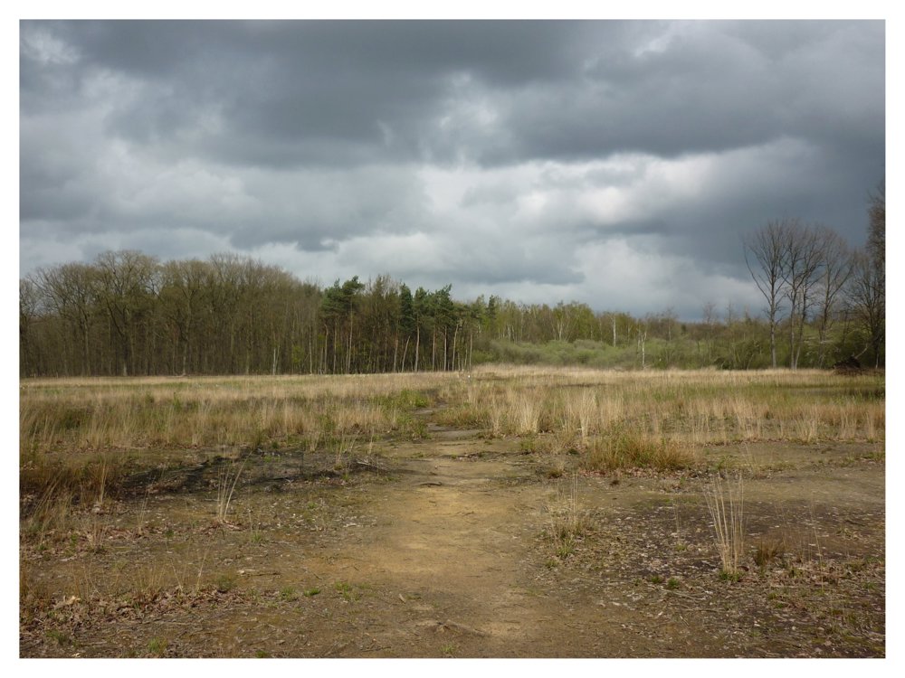
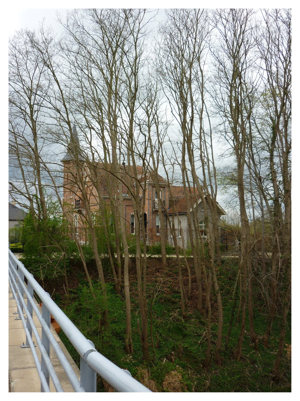
Beautiful varied walk through the Langdonken nature reserve.
The Langdonken nature reserve, on the border between Herselt and Ramsel, is located in the valley of the Kalsterloop at the transition between the 'poor' Kempen and the 'rich' Hageland. The name refers to a long S-shaped 'donk' in the area.
The area is known for its rich flora, characteristic of heathland, poor grasslands, and fens. The area was protected as a landscape in 1985. Furthermore, it enjoys the status of a recognized nature reserve and is protected as a European Habitat Directive site.
More photos: https://photos.app.goo.gl/35gmd9xFxUA4mNap7
Enjoy this walk,
Eddy, Rita, and Prinske
automatic translation
 nodes to follow
0 km
2.5 km
3.4 km
4.6 km
4.9 km
5.6 km
6.9 km
7.3 km
8 km
9.2 km
9.5 km
9.8 km
10.9 km
12.3 km
12.7 km
14.9 km
15.7 km


 Upgrade to Premium Plus
