 Hiking
 Login
Login More
More EN
EN Premium
The surroundings of the mythical trouée d'Arenberg
automatic translation
21.8 km • Nord
1650 0 0/5

 Addresse starting point (approximate)
Rue Michel Rondet 32, 59135 Wallers, FR
 signage
The route is not signposted. Use a GPS device or our app to follow the route.
 Description
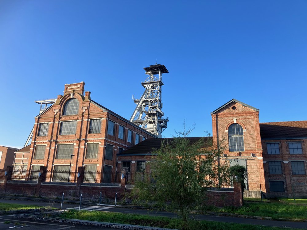
Park at the former mine site of Wallers and Arenberg.
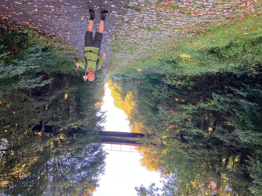
Almost immediately, you arrive at the mythical forest of Wallers, famous among cycling enthusiasts, and the harsh cobbles of la trouée d'Arenberg. Where Paris-Roubaix usually erupts, you now explore by bouncing over or strolling alongside the cobbles in this fantastic green lung. In autumn, early in the morning, you can see locals leaving the forest with an authentic wicker basket filled with various wild mushrooms.
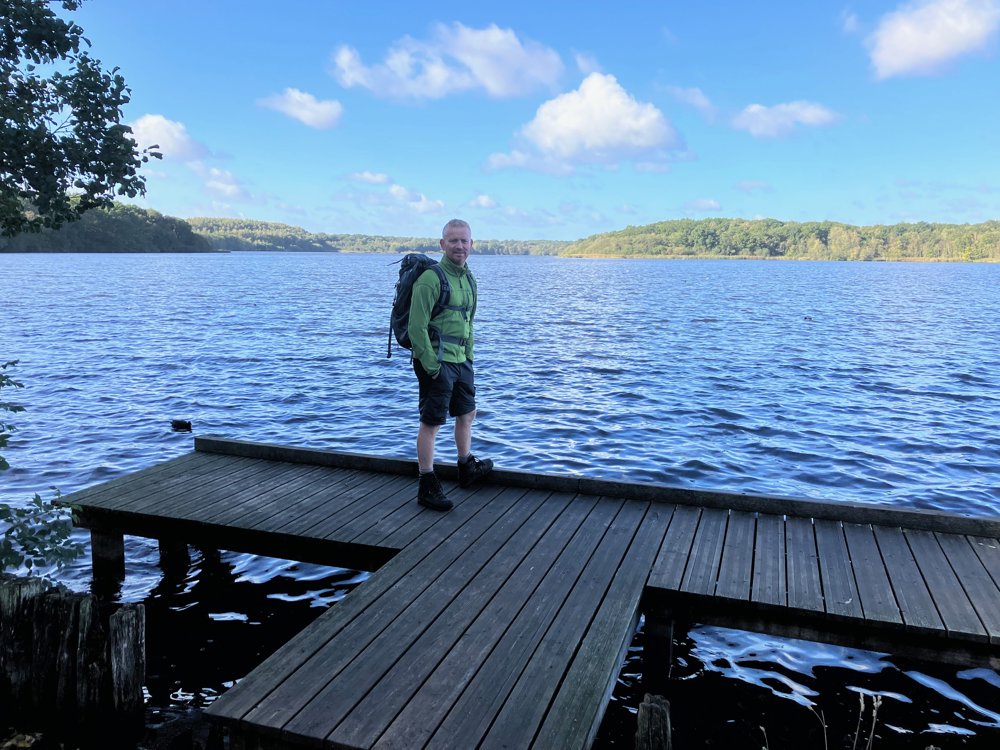
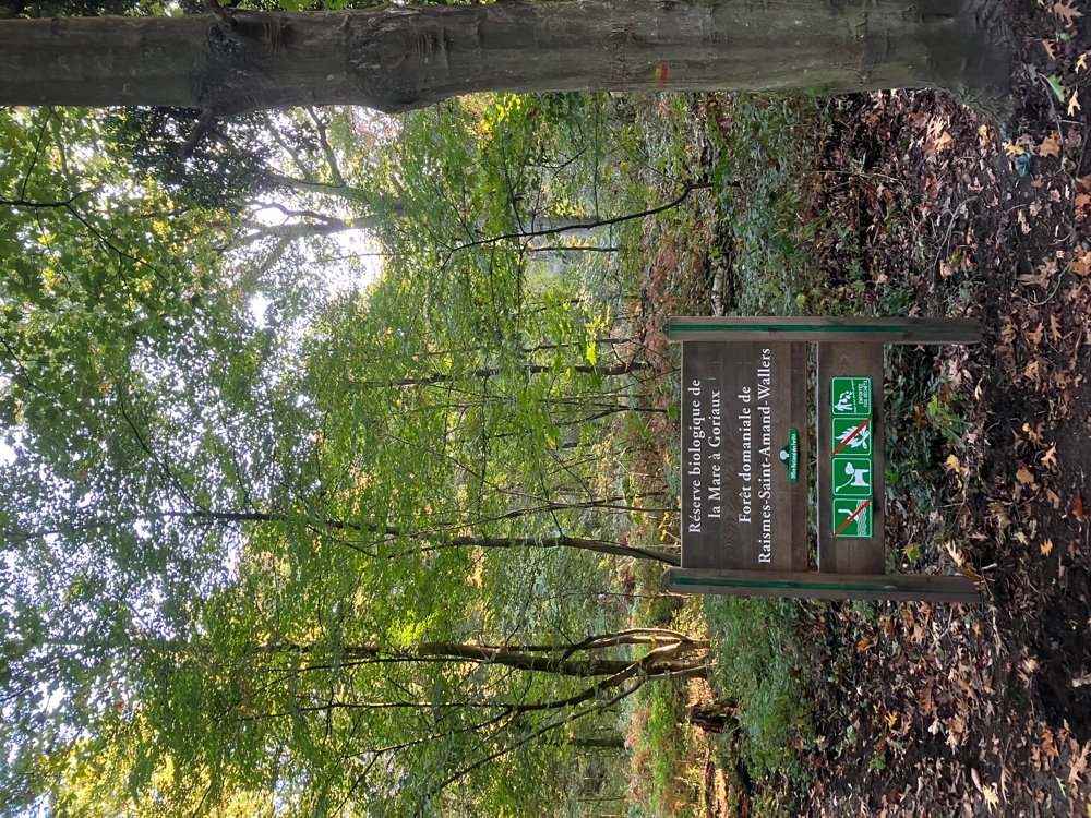
You will also discover the enormous biological water reservoir hidden among these colorful trees. Beside its eastern corner lies a 43-meter-high viewing hill that is worth a visit.
Further along, you leave the wooded area to explore the mining villages of Bellaing, Arenberg, and Haveluy with their typical worker's housing (cités). The intervening natural patches are sometimes still quite wild.
Sturdy waterproof hiking shoes are needed. Dogs welcome on a leash. Bring your own drinks and food.
automatic translation


 Upgrade to Premium Plus
