 Hiking
 Login
Login More
More EN
EN Premium
Retie FC The Heather Flower
automatic translation
14.8 km • Retie
2862 0 0/5

 Addresse starting point (approximate)
Pontfort 94, 2470 Retie, BE
 signage
The route is fully signposted with nodes.

 Description
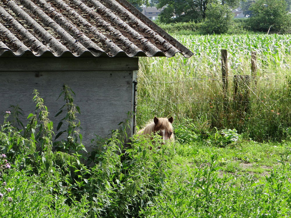
For this beautiful junction walk, we parked the car at the grounds of FC De Heidebloem in Retie. We took this walk under a sun-drenched sky on 07/08/2021, a period when many plants are in bloom.
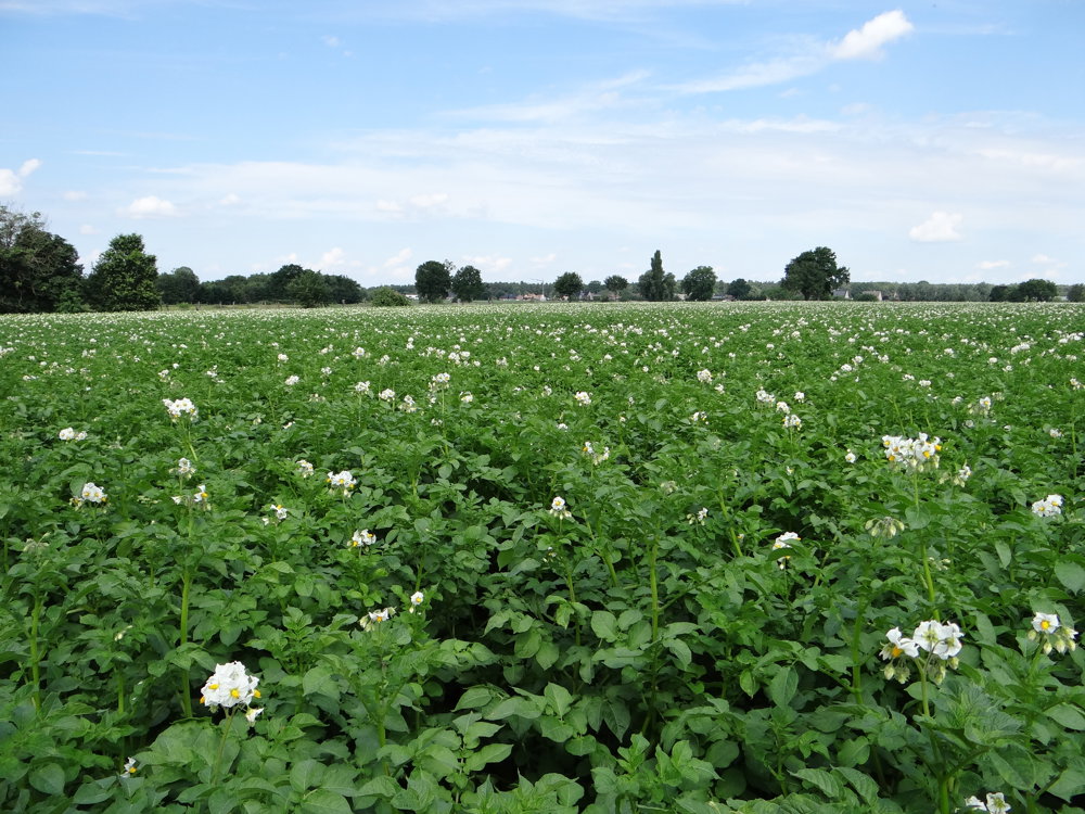
You walk along beautifully scented lime trees and privet, and the large fields of potato blossoms add a delightfully sweet fragrance.
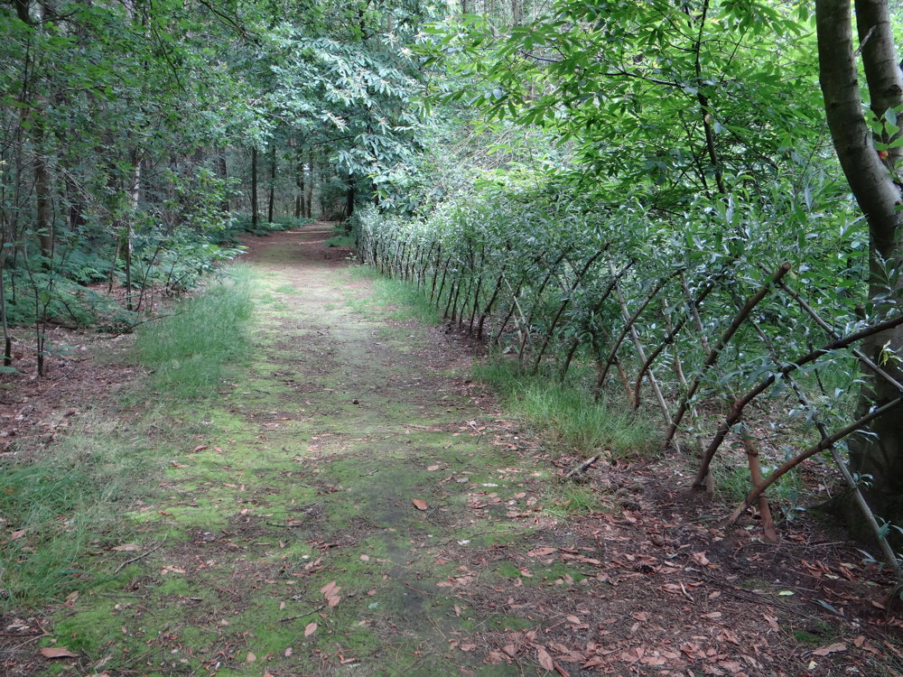
It is a very varied walk that alternates between forest, narrow paths, wide field lanes, and then paved roads. Just when you think: "I've had enough of paved roads!", the route dives back into the forest or field.
More photos: https://photos.app.goo.gl/NfeXr3g1LJqKENdK7
Enjoy this walk,
Eddy, Rita and Prinske
automatic translation
 nodes to follow
0 km
0.9 km
1.2 km
2.5 km
2.6 km
3 km
5.4 km
6.7 km
6.9 km
8.2 km
10 km
10.5 km
11.4 km
13.4 km
14.2 km
14.8 km


 Upgrade to Premium Plus
