 Hiking
 Login
Login More
More EN
EN Premium
Kasterlee "Hoge Rielen"
automatic translation
15.6 km • Kasterlee
4480 1 3/5

 Addresse starting point (approximate)
Beukendreef 19, 2460 Kasterlee, BE
 signage
The route is fully signposted with nodes.
 Description
Due to works in the Domain De Hoge Rielen and surrounding streets, several junction connections are interrupted and rerouted.
NOTE: Dogs are NOT allowed on the "Hoge Rielen" domain
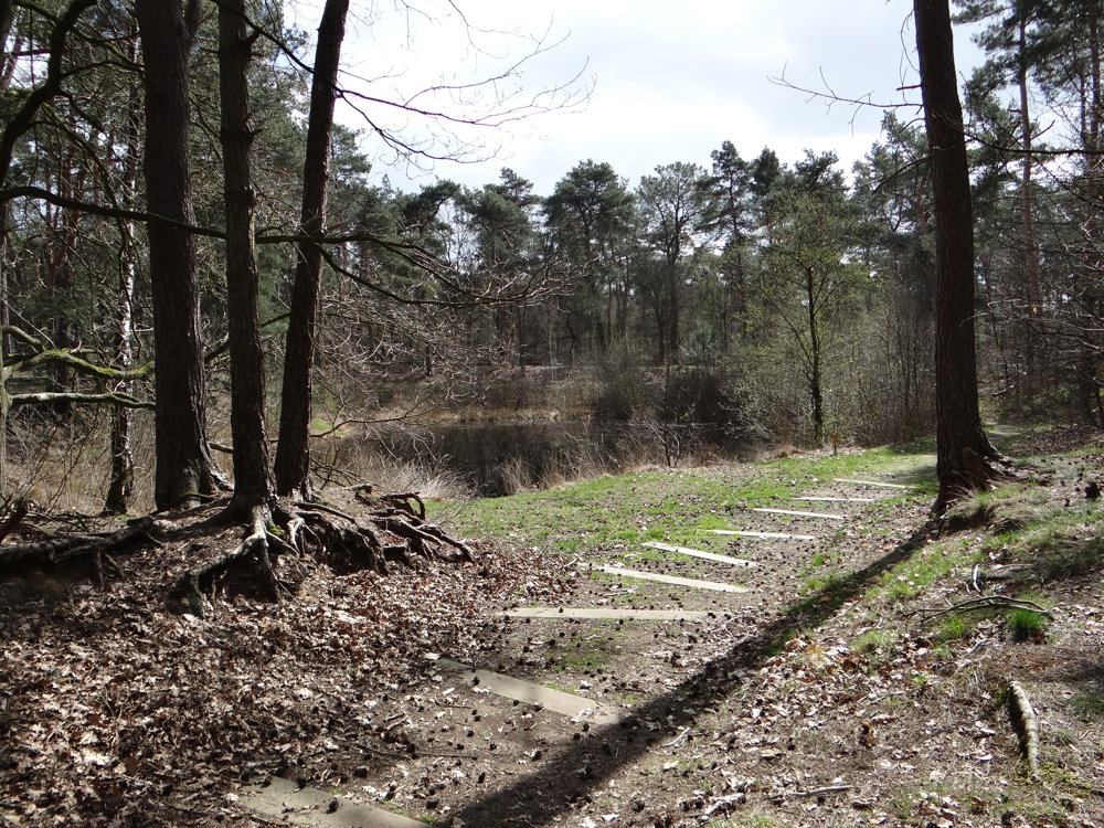
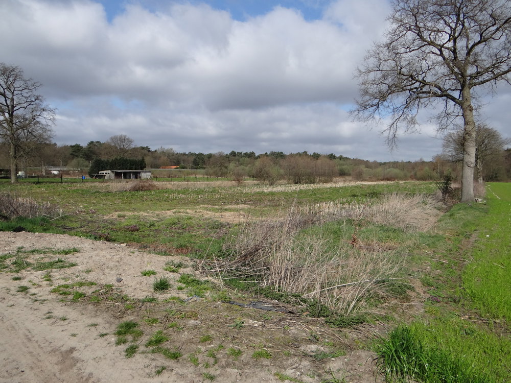
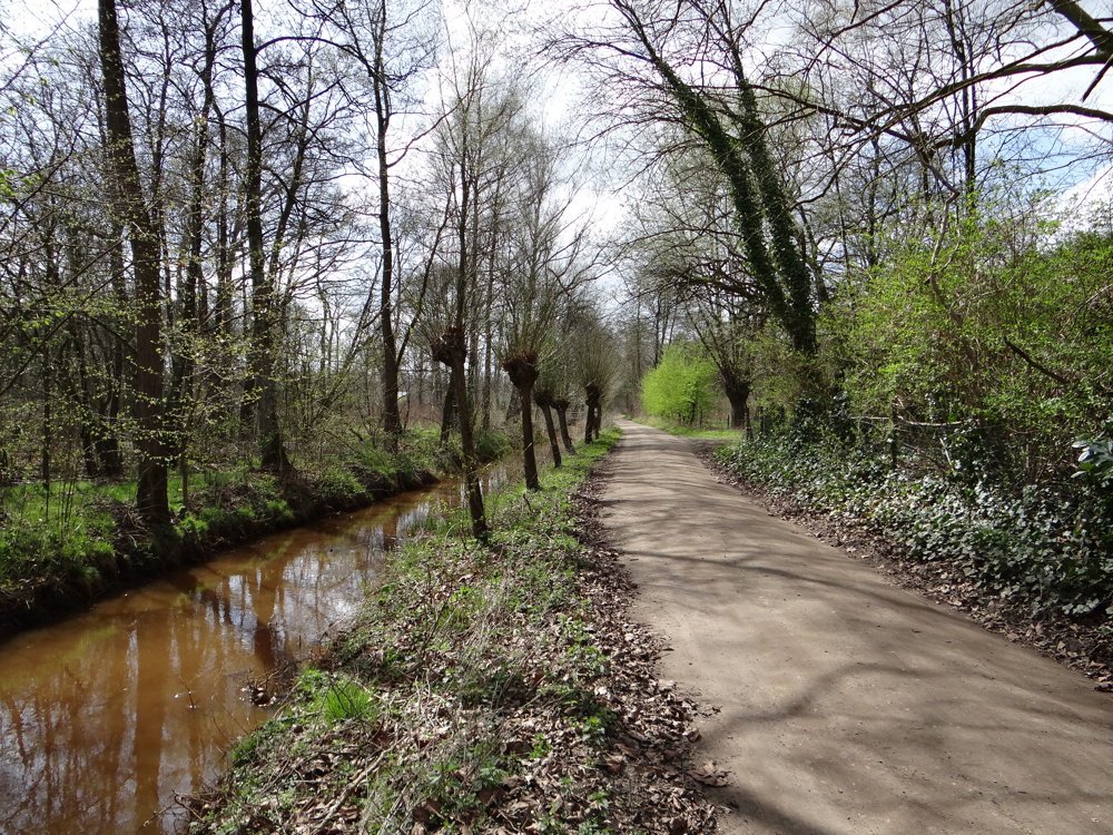
Beautiful varied walk. We parked the car in the Beukendreef at the bridge of the N19G and walked the route counterclockwise, which was a good decision. First, there are some kilometers of hardened ground underfoot, later it alternates more with unpaved. It is in any case a walk that does not quickly get boring.
On the Hoge Rielen, an old military domain, there are many sheds that served as ammunition storage. Many have meanwhile been converted into educational rooms or sleeping pavilions. In 1999, the then Flemish architect Bob Van Reeth developed a long-term vision for the domain.
More photos: https://photos.app.goo.gl/dCWQWjXAsyimoPxw8
Enjoy this walk,
Eddy and Rita
automatic translation
 nodes to follow
0 km
3.2 km
4.4 km
5.4 km
6.1 km
6.8 km
8 km
9 km
9.7 km
10 km
10.5 km
11 km
11 km
11 km
13.9 km
15.6 km
Wednesday, April 2, 2025 by E.G.The part in nature is very beautiful. Before you really feel like you are away from all the crowds, you have already walked 3-4km. I found that a pity. After following #39 I also didn't find a junction and had to use google maps to find my way back to the starting point.
automatic translation
Sunday, April 13, 2025 by Eddy & RitaThank you for this response!
automatic translation


 Upgrade to Premium Plus
