 Hiking
 Login
Login More
More EN
EN Premium
Vorselaar Nature Reserve Lovenhoek
automatic translation
11.6 km • Vorselaar
9272 2 4/5

 Addresse starting point (approximate)
Putakkerstraat 56, 2290 Vorselaar, BE
 signage
The route is fully signposted with nodes.
 Description
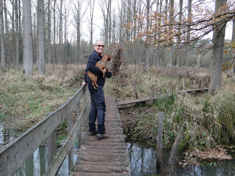
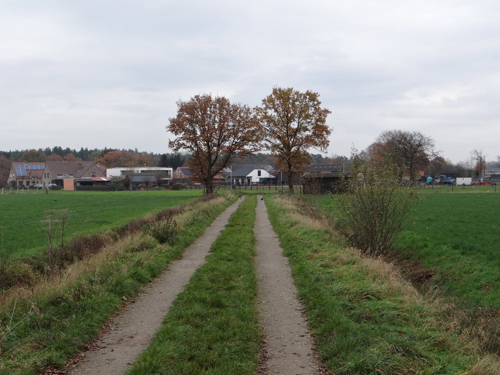
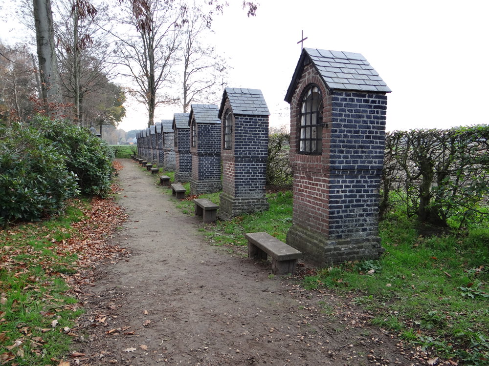
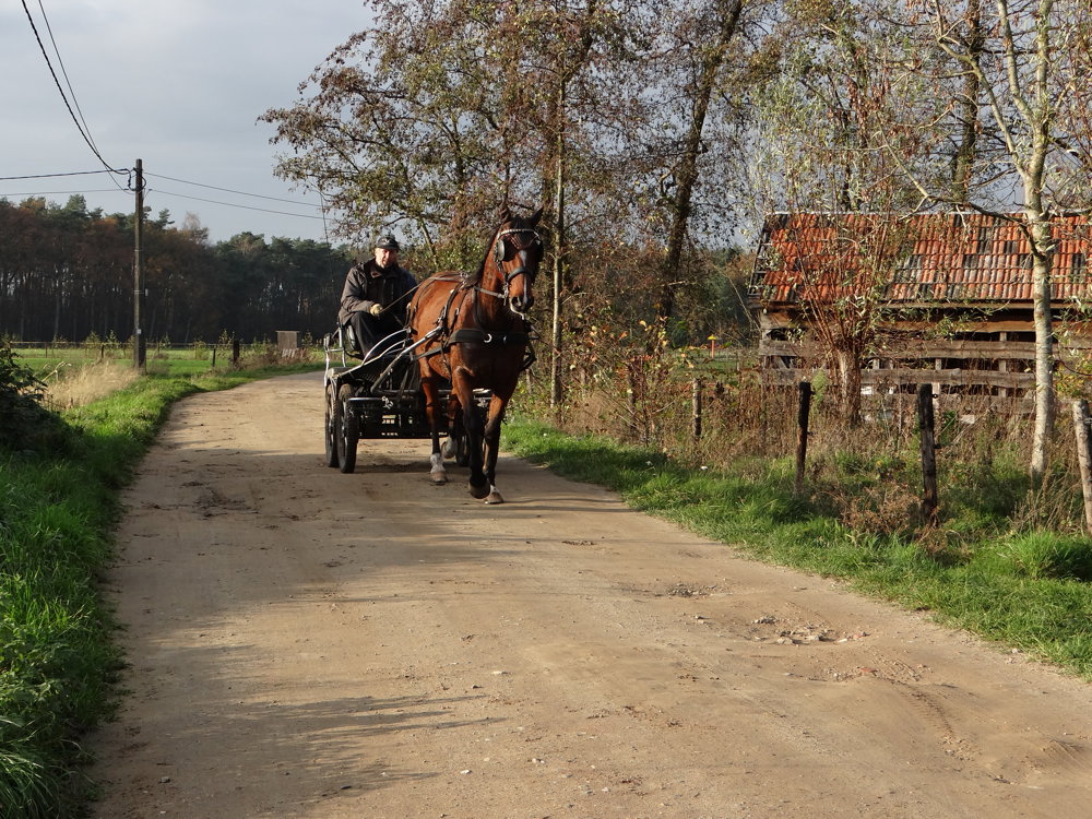
Beautiful rural junction route that goes through the stunning nature area of Lovenhoek. Dogs are welcome but must be kept on a leash!
Lovenhoek is a nature reserve of more than 145 hectares with a surprising variety of habitats for plants and animals. The hamlet of Lovenhoek was centrally located, where several farms stood until the beginning of the last century. On the dry sandy soils around were fields with hedgerows and extensive heathlands. Aside from some remnants, the entire heath landscape has been transformed into coniferous forests. In the wetter areas of the region, you will find valuable deciduous forests.
More photos: https://photos.app.goo.gl/GNZqtLc2rHuUUZSF6
Enjoy this walk,
Eddy, Rita, and Prinske
automatic translation
 nodes to follow
0 km
0.2 km
0.8 km
1.1 km
1.4 km
1.5 km
1.7 km
2.1 km
3 km
3.1 km
3.4 km
3.7 km
4.9 km
5.2 km
6.7 km
6.9 km
8.1 km
8.2 km
8.7 km
8.7 km
9.9 km
10.3 km
10.5 km
11.1 km
11.6 km
Wednesday, February 12, 2025 by Luc SpoeldersDefinitely beautiful (by Flemish standards of course), also some benches along the way to rest. Unfortunately a whole part of the trail is currently interrupted because Natuurpunt has closed a path (at point 81 you can no longer go right to point 17, you have to follow the path straight on;02/2025). Also little parking space at the beginning of the route (Putakkerstraat).
automatic translation
Sunday, November 3, 2024 by Ella TystWow, such a beautiful walk! Definitely doing it again...but the other way around ☺️. I did axe the bit about the castle though!
automatic translation
Tuesday, November 26, 2024 by Eddy & RitaHello Ella, thank you very much for this fine response. It is indeed a beautiful natural area. Kind regards, Eddy&Rita
automatic translation


 Upgrade to Premium Plus
