 Hiking
 Login
Login More
More EN
EN Premium
Celtic land in Bérismenil
7.5 km • Bérisménil
 official route
1.4630 1 4.5/5
 Addresse starting point (approximate)
Church of Bérisménil, Bérisménil 6982 La Roche-en-Ardenne, BE
 signage
The route is signposted with thematic signs (no nodes). You can use a GPS device or our app to follow the route through the virtual nodes.
 Description
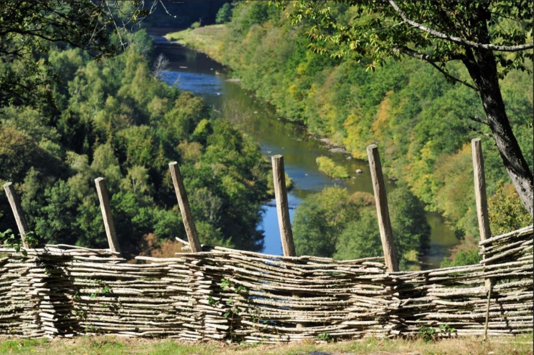
This rather sporty walk explores the wild side of the Ardenne, where the Ourthe river sculpted deep valleys and some of the most beautiful landscapes in Wallonia.
After going down towards the Ourthe, you will pass Cheslé, a natural fortress used by the Celts in the VIth century BC. Listed as exceptional cultural heritage, this site offers breath taking views.
 nodes to follow
0 km
0.3 km
1 km
1.9 km
2.2 km
3.7 km
5 km
5.4 km
5.5 km
7.3 km
7.4 km
Sunday, November 3, 2024 by Moniek BunkensIndeed a beautiful route. But tough in that it requires some climbing and scrambling. Scrambling over slippery rocks and having the Ourthe at the bottom as an alternative is effe hefty. But the satisfaction is great, and the reward of nature's splendor even greater.
automatic translation


 Upgrade to Premium Plus
