Loading...

Day Hikers Vlimmeren

automatic translation

23 km • Vosselaar

321 0 0/5

23 km 0.0 km 0.0 km

route offered by

Jan Theunis

Icon starting point Addresse starting point (approximate)

Pastoor Woestenborghslaan 3, 2350 Vosselaar, BE

Icon type signage of route signage

The route is partially signposted with nodes. Use a GPS device or our app to follow the route.

5m 5m 5m 5m
© Jan Theunis

Icon description route Description

Parking: center of Vosselaar.

Signage: junctions/GPS.

This walk was listed under Grote Routepaden's 'Dagstappers' but has since disappeared. Originally, this walk started in Vlimmeren, but I have chosen to start in Vosselaar.

You walk from Vosselaar to the Dessel-Schoten canal; you walk a total of a few kilometers along this canal, a nice stretch for walking. Then you head towards Vlimmeren and Lilse Bergen back to Vosselaar.

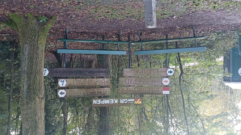
Rest benches: among others after 1.8/3.4/4.6/6.6/13.1/17.5/19.5/21.5 and 22.3 km.

automatic translation

Icon nodes to follow nodes to follow

Icon start route
0 km
Icon deviation route
0 km
Icon deviation route
0.1 km
Icon deviation route
0.3 km
Image node TP
0.7 km
Image node 72
1.1 km
Image node 71
1.8 km
Image node 70
2.3 km
Image node 75
3.2 km
Image node 65
3.6 km
Image node 37
4.6 km
Image node 64
4.7 km
Image node 61
5.8 km
Image node 63
6.5 km
Image node 52
7.4 km
Image node 62
8.7 km
Image node 65
10.2 km
Image node 57
13 km
Image node 57
13.1 km
Image node 13
13.4 km
Icon deviation route
14.9 km
Image node 11
15.6 km
Image node 10
15.8 km
Image node 10
15.9 km
Image node TP
16.2 km
Image node 10
16.5 km
Image node 10
16.5 km
Image node 10
16.6 km
Image node 94
17.5 km
Image node 95
17.5 km
Image node 1
17.8 km
Icon deviation route
18.6 km
Image node 4
19.5 km
Icon deviation route
19.6 km
Icon deviation route
20.1 km
Image node 20
20.3 km
Image node 21
20.4 km
Image node 22
21.1 km
Icon deviation route
21.9 km
Icon deviation route
22.4 km
Icon deviation route
22.7 km
Icon deviation route
22.9 km
Icon stop route
23 km
This route does not have any reviews yet. Be the first!
Rate route!

Which POI do you want to show on the map?

Experimental hiking network
Unsigned icon

The route you have chosen runs (partly) along an experimental virtual hiking node network (the blue-coloured nodes and sections on the map).

You must be logged in to plan routes here.

Experimental hiking network
Unsigned icon

The route you have chosen runs (partly) along an experimental virtual hiking node network (the blue-coloured nodes and sections on the map).

These routes are not controlled in the field. Before you start hiking here, take a minute to read what an experimental hiking node network is and what rules you should follow when hiking here.