 Hiking
 Login
Login More
More EN
EN Premium
Northern French nature on and around the slag heap
automatic translation
11.7 km • Nord
1220 0 0/5

 Addresse starting point (approximate)
Rue Du Pont 1, 59870 Marchiennes, FR
 signage
The route is not signposted. Use a GPS device or our app to follow the route.
 Description
Park your car in the village of Marchiennes at the bridge over the river "la Scarpe canalisée".
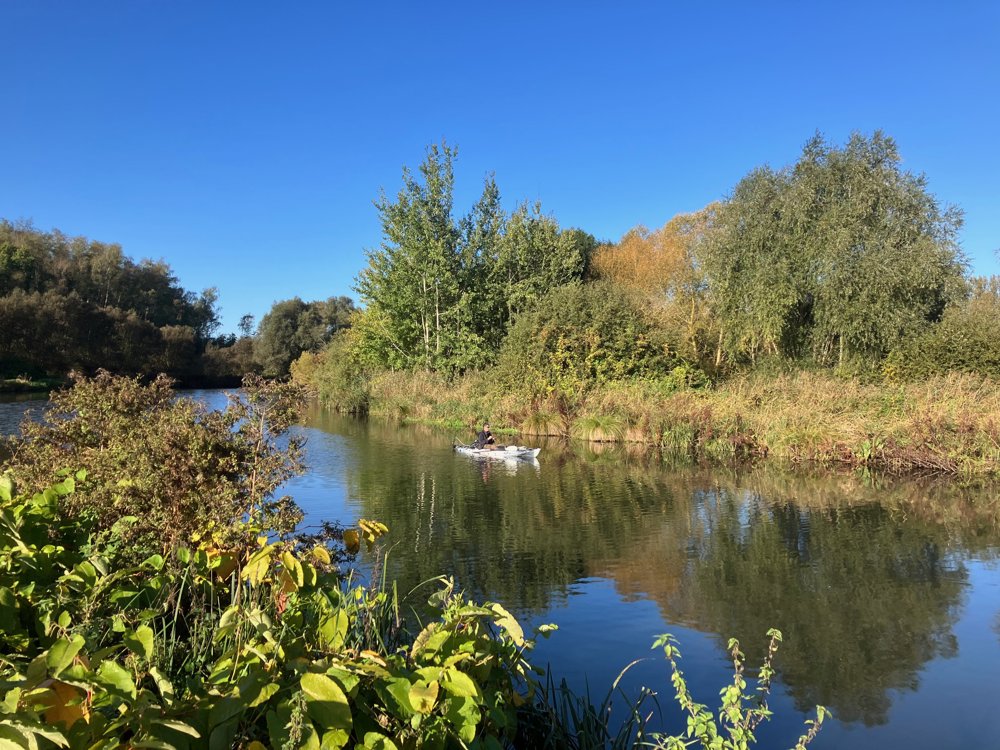
You start along this beautiful waterway that is used by various people for relaxation: fishing, jogging, cycling, etc. It's not surprising when you know that its name Skarpe derives from Old Dutch (scherpe), which refers to its many bends.
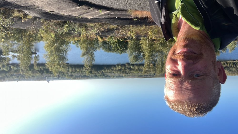
From afar, you can see the main goal of this walk appear: the nature reserve "Terril et étang des Argales". With its 140 hectares, this is the largest spoil heap that still bears witness to the mining activity in Nord-Pas-de-Calais. The accumulation of shale and sandstone with its large size and weight has caused the ground to sink, creating the large pond. This converted mining site is home to unique fauna and flora for this area, such as lizards, and offers a magnificent view of the surroundings.
After the walk, you can drink/eat at a democratic price in a local café in Marchiennes.
Dogs allowed on a leash.
automatic translation


 Upgrade to Premium Plus
