 Hiking
 Login
Login More
More EN
EN Premium
From Velzeke to Berendries
automatic translation
18.3 km • Zottegem
4444 1 4/5

 Addresse starting point (approximate)
Paddestraat 26, 9620 Zottegem, BE
 signage
The route is fully signposted with nodes.
 Description
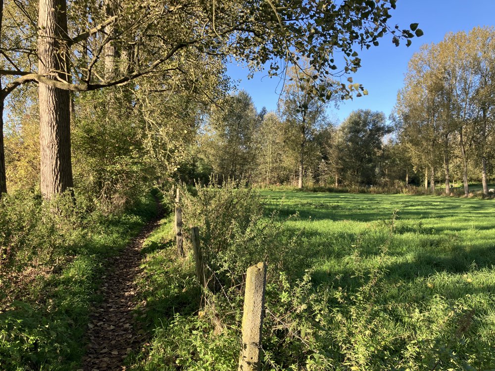
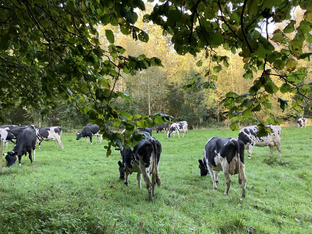
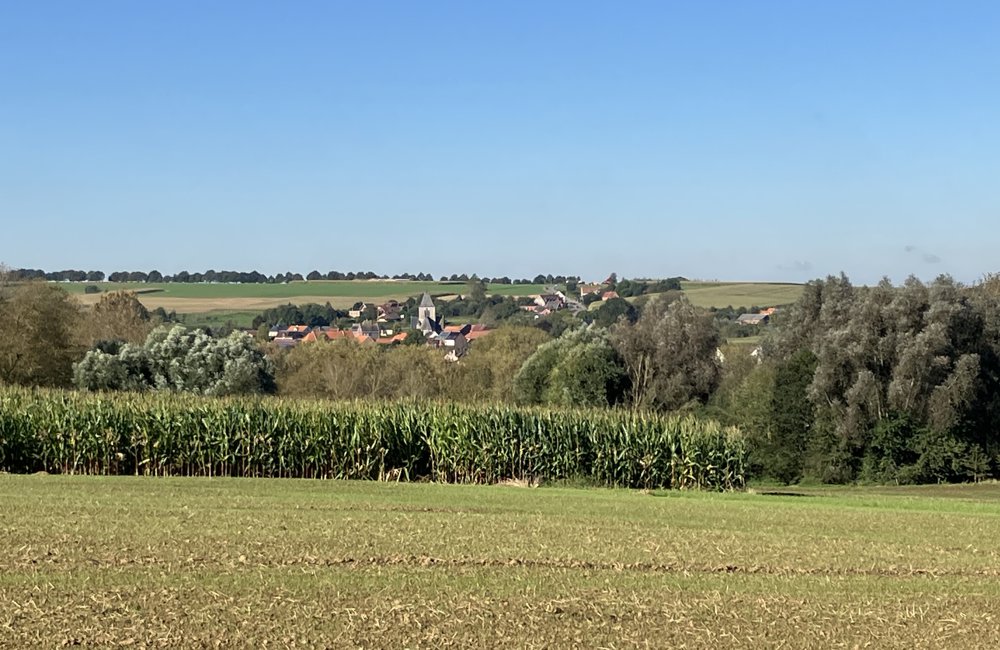
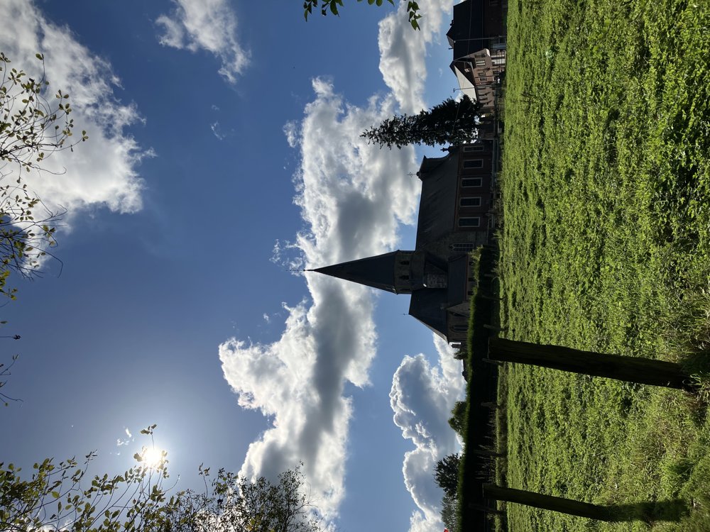
With this loop, you fully explore the Zwalm region and the Flemish Ardennes.
The walk starts on the Jan de Lichte trail in Velzeke (part of the municipality of Zottegem), regardless of the direction you start. Through a very varied and adventurous terrain, mostly on unpaved roads and paths, the walk leads to the Berendries, a famous climb in the Tour of Flanders. At the top of the Berendries, at walking node 39, you are halfway. Afterwards, it goes back to Velzeke, mostly via rural roads.
I did the walk on October 3, 2024. Here are two remarks:
- Between nodes 43 and 38, a path parallel to the Berendries was extremely muddy. Good footwear is recommended. You can bypass this part by simply ascending the Berendries by road from node 43 to the sign towards node 39.
- Between nodes 53 and 54 near the municipality of St.-Goriks-Oudenhove, the path was closed. Just follow the detour towards the church.
automatic translation
 nodes to follow
0 km
0.3 km
0.4 km
2.1 km
2.1 km
2.1 km
2.2 km
2.8 km
3.4 km
4 km
4.2 km
4.9 km
5.2 km
5.4 km
5.7 km
6.2 km
6.2 km
6.7 km
7.1 km
7.2 km
8.1 km
8.4 km
9 km
9.5 km
10.1 km
11.4 km
11.9 km
12.2 km
13.5 km
14 km
14.2 km
15.3 km
16.5 km
16.7 km
17.8 km
18 km
18.3 km


 Upgrade to Premium Plus
