 Hiking
 Login
Login More
More EN
EN Premium
Nieuwpoort Walk
automatic translation
13.2 km • Koksijde
6093 0 0/5

 Addresse starting point (approximate)
Veurnevaartstraat 9, 8670 Koksijde, BE
 signage
The route is fully signposted with nodes.
 Description
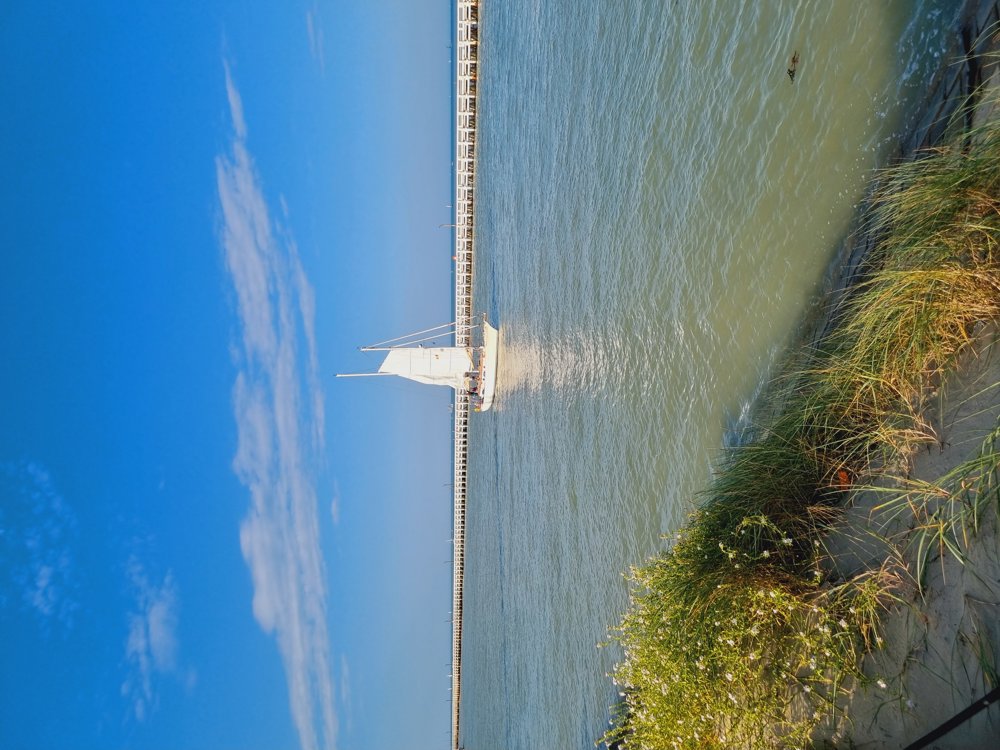
🐚Nieuwpoort Walk🐚
Would you like to take a walk in the fresh sea air🫁? Completely relax? Then you should definitely try this one out✅️
Mainly a paved walk, so ideal with the buggy or during wet periods.
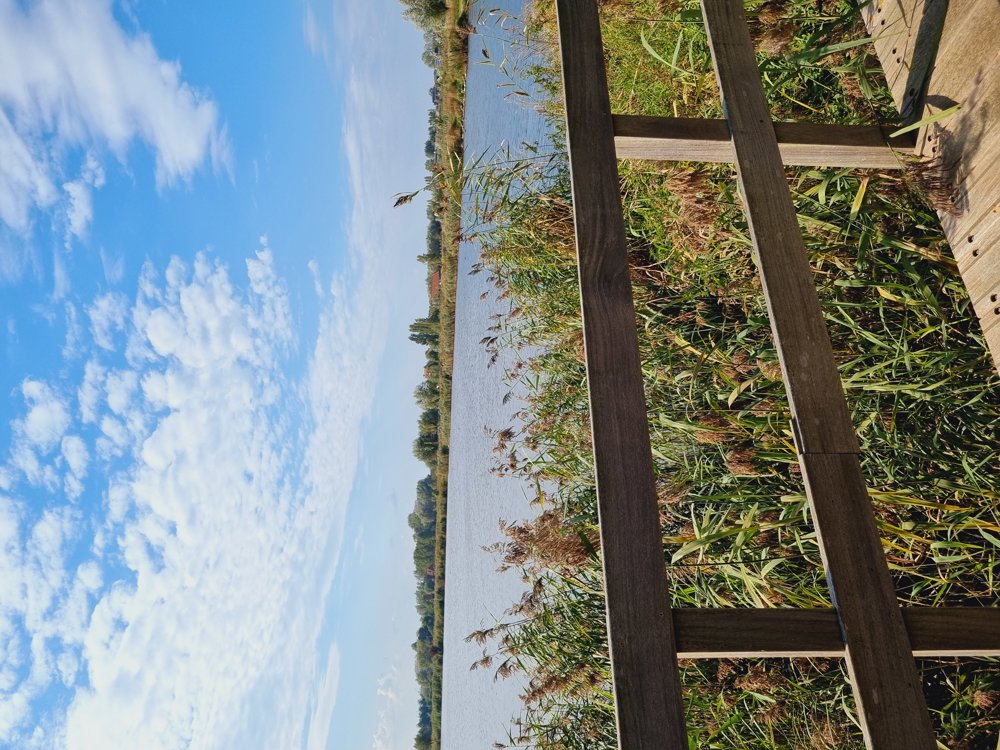
🎣The route starts at the Provincial Domain Koolhofput where you can meet fishermen. Still unknown to me and there were few people🤫
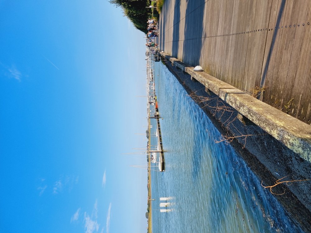
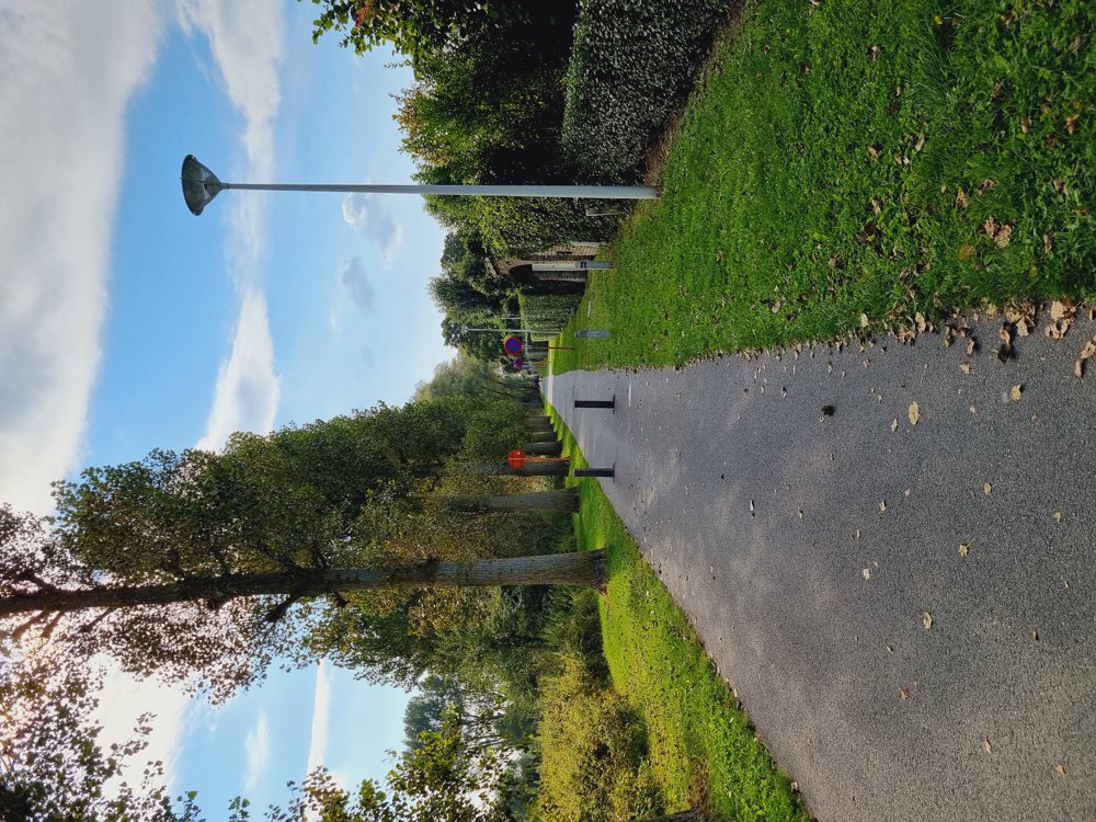
🏘Then the route goes from Nieuwpoort-bad to Nieuwpoort-stad, which pleasantly surprised me. Beautiful parks and a lot of variety.
🛥For those who want, it is possible to extend the walk by taking the ferry at junction 85.
Feeling like taking this walk? Be sure to leave your comments🙂
I became completely Zen🧘♀️
Goodbye🙋♀️
Sarah
📏 13.2 km
👩🏫 My rating: 8/10
🐾 Dogs on a leash welcome
👶🏻 Buggy-friendly
🪑Sufficient picnic and seating areas
🅿️ Veurnevaartstraat, Nieuwpoort (West Flanders)
automatic translation
 nodes to follow
0 km
0.9 km
1 km
1.2 km
1.2 km
1.3 km
1.7 km
2.2 km
2.2 km
2.9 km
3.3 km
4.7 km
5.4 km
5.8 km
6.5 km
7.3 km
7.6 km
7.7 km
8.1 km
8.7 km
9.9 km
10.1 km
10.7 km
11.5 km
11.9 km
12.2 km
12.3 km
12.4 km
12.5 km
12.8 km
13.2 km


 Upgrade to Premium Plus
