 Hiking
 Login
Login More
More EN
EN Premium
Along castle, greenery and water
automatic translation
13.6 km • Sint-Katelijne-Waver
3910 1 4.5/5

 Addresse starting point (approximate)
Groenstraat 11A, 2860 Sint-Katelijne-Waver, BE
 signage
The route is fully signposted with nodes.
 Description
Park at Groenstraat 11 in Elzestraat.
(Alternative station St. Kat. Waver point 334)
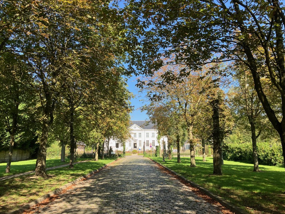
You start at the protected village view of the stately castle St. Michiels and go through the park in search of 't Grom. This is a museum, built around the themes of vegetables, healthy eating, and horticultural heritage, housed in the Midzeelhoeve at junction 228.
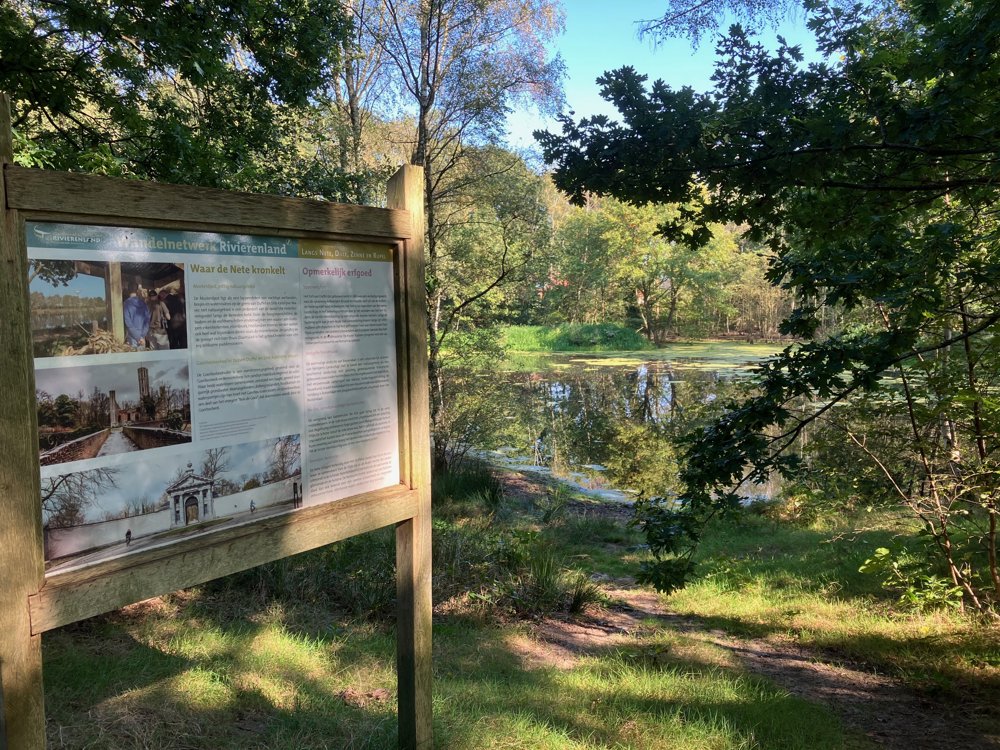
After the longest stretch of public road, you reach the Goorbosbeek valley with the info house De Mosterdpot of Natuurpunt, where you can learn all about the patchwork of habitats present here.
Via junctions 4 and 5 you can visit the Fort of Duffel with its cozy brasserie.
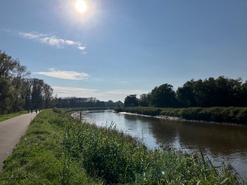
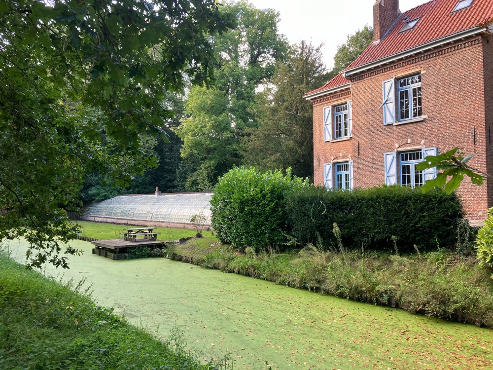
Back at point 2, you continue along the banks of the Nete around the Domain Roosendael, which, with its restored buildings, nature, and bicycle/pedestrian café, is certainly worth some extra time.
Finally, you return to Elzestraat via the old elevated railway embankment, which now forms a green zone. Here, you can take one last drink break.
Dogs welcome on a lead.
automatic translation
 nodes to follow
0 km
0.3 km
0.7 km
0.9 km
1.7 km
3 km
5.4 km
5.9 km
6.1 km
6.4 km
6.6 km
7 km
7.4 km
7.7 km
8 km
8.1 km
9 km
9.6 km
10 km
10.3 km
10.7 km
11.1 km
11.3 km
11.3 km
11.6 km
12.5 km
12.9 km
13.3 km
13.5 km
13.5 km
Saturday, November 2, 2024 by H.G.Nice hike, but we chose to move sustainably (from Antwerp) and started the hike at the station of Sint-Katelijne-Waver. Surely could be mentioned as an option in the description?
automatic translation
Saturday, November 2, 2024 by W.L.An excellent plan! I am bound by limited number of characters for directions though but it worked out. Thanks for the tip and glad you liked it. Tip: my walk in Kessel-Lo from Leuven station!
automatic translation


 Upgrade to Premium Plus
