 Hiking
 Login
Login More
More EN
EN Premium
Putte-Kapellen, 10.6 km
automatic translation
10.5 km • Kapellen
7480 0 0/5
10.5 km
0.0 km
0.0 km
10 km
© OpenStreetMap contributors, Tracestrack

 Addresse starting point (approximate)
Puttestraat 41, 2940 Stabroek, BE
 signage
The route is fully signposted with nodes.
© Karin Vandervloet
 Description
A walk across the border.
Start in Putte-Kapellen, at the church (Parking 't Erbrandtje, Ertbrandtstraat 212-214 in Putte Kapellen).
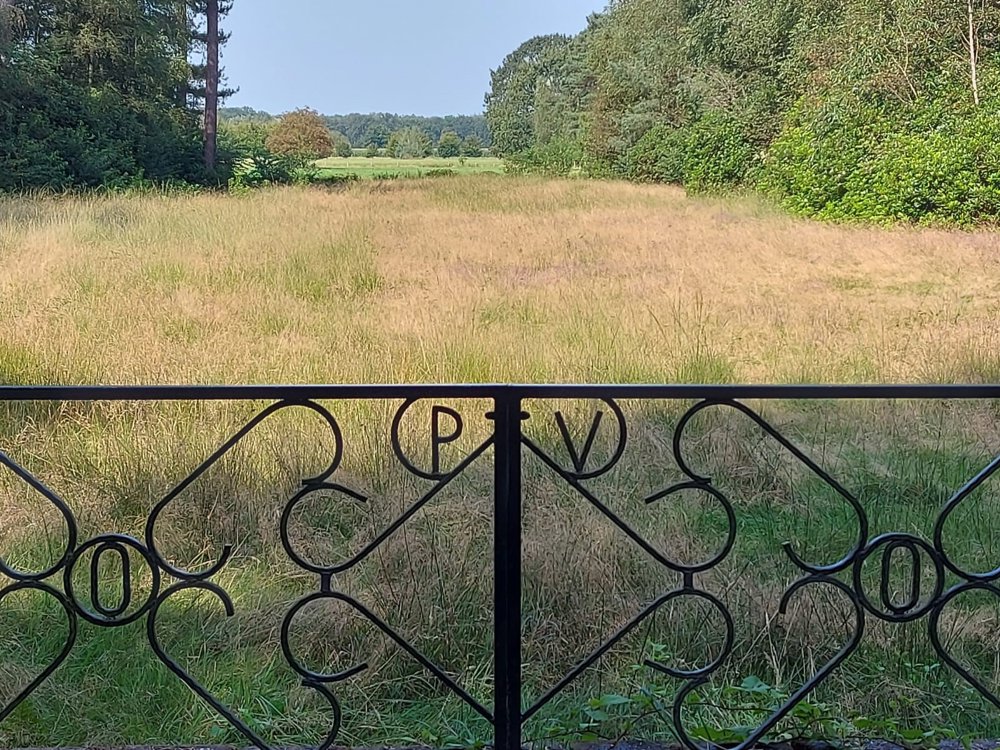
Along the Ravenhof Castle, through the Moretus Forest and via the Jewish cemetery. Halfway, the possibility for a snack/drink at Heusche Bollaert.
The first part is mostly unpaved and very quiet for walking.
automatic translation
 nodes to follow
0 km
0.7 km
0.9 km
0.9 km
1 km
1.2 km
1.2 km
1.8 km
2.2 km
2.5 km
3.8 km
4.4 km
5.2 km
6.5 km
7.1 km
10.2 km
10.5 km


 Upgrade to Premium Plus
