 Hiking
 Login
Login More
More EN
EN Premium
Kalken Marshes
automatic translation
15.7 km • Laarne
3602 1 4/5

 Addresse starting point (approximate)
Uitbergsestraat 17, 9270 Laarne, BE
 signage
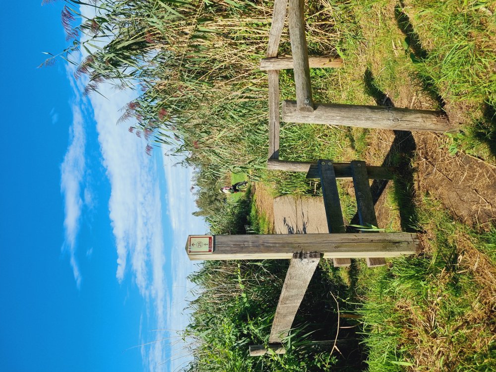
The route is fully signposted with nodes.
 Description
🍃Kalkense Meersen🍃
Self-made route with junction points.
A mix of paved and unpaved paths.
And especially enjoy:
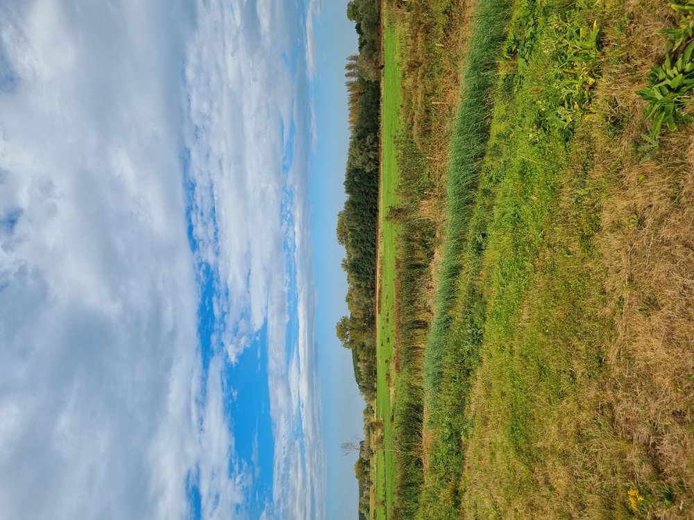
🍃The beautiful nature of the Kalkense Meersen
🍸Terrace with a view of the Schelde
💦Walking along the water
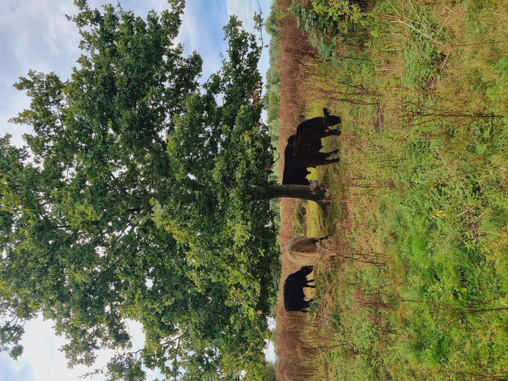
🐂 The cute Galloways
So yeah... What more could you ask for?
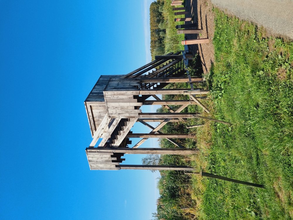
Even a nice little lookout tower on the Meersen completes the walk.
🫸 I do not recommend this walk during wet periods or in winter.
Enjoy it!
Sarah
🔢 25-26-24-23-97-95-98-96-93-94-2- Pause
🍺🍴 'Den Aard' near junction point no. 2️⃣
(Closed on Monday)
2-22-21-19-20-9-10-14-14-18-18-16-25
📏 16km (Of which 8km unpaved)
👩🏫 My rating: 8.5/10
🐾 Dogs on a leash welcome
👶🏻 Not buggy-proof
👩🦽 Not wheelchair accessible
🪑Ample picnic and seating benches available
🅿️ Sint-Denijskerk, Kalken (Laarne)
(East Flanders)
(Free)
automatic translation
 nodes to follow
0 km
1.1 km
2.4 km
2.6 km
3.6 km
3.9 km
3.9 km
4.2 km
4.9 km
5.4 km
6.2 km
6.3 km
6.6 km
7 km
7.4 km
8.8 km
10 km
10.2 km
11.7 km
11.7 km
13.4 km
13.4 km
14.7 km
15.7 km


 Upgrade to Premium Plus
