Loading...

Walking through the Halse forests

automatic translation

19.5 km • Zoersel

2180 0 0/5

19.5 km 0.0 km 0.0 km

route offered by

Jan Theunis

Icon starting point Addresse starting point (approximate)

Halmolenweg 68, 2980 Zoersel, BE

Icon type signage of route signage

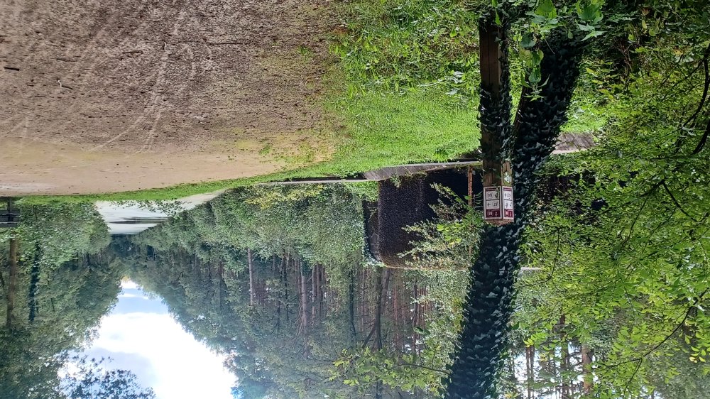
The route is fully signposted with nodes.

5m 5m 5m 5m
Atmosphere image 1 of route Walking through the Halse forests Atmosphere image 2 of route Walking through the Halse forests
© Jan Theunis

Icon description route Description

Parking: Halmolenweg, Halle (WZC Halmolen)

Signage:
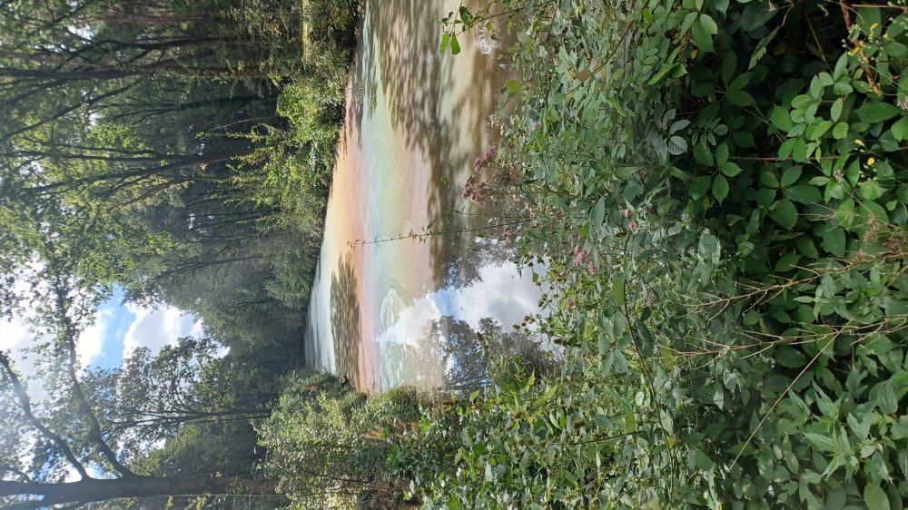
The first part (6.5 km) is mostly on paved roads, then largely through forests.

Highlights: Anti-tank trench with bunkers.

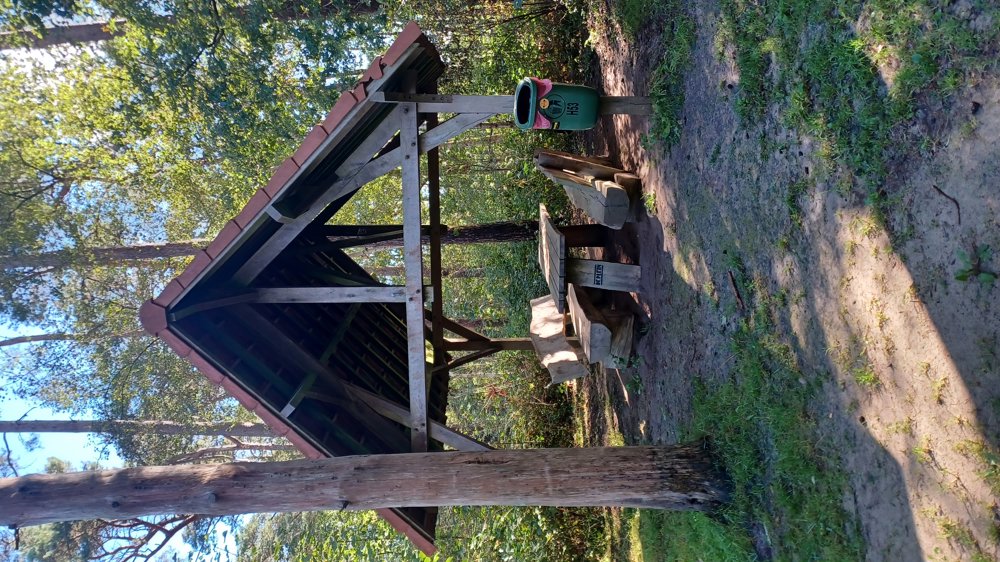
Rest benches: among others after 8.3 / 9.1 / 10 / 11 / 12.6 / and 16.1 km.

automatic translation

Icon nodes to follow nodes to follow

Image node 12
0 km
Image node 11
0.2 km
Image node 16
0.8 km
Image node 14
1.1 km
Image node 18
1.4 km
Image node 17
2.1 km
Image node 7
3.1 km
Image node 8
4 km
Image node 15
4.4 km
Image node 5
5.3 km
Image node 76
6.3 km
Image node 80
7 km
Image node 83
7.8 km
Image node 75
8.1 km
Image node 65
8.7 km
Image node 1
9.1 km
Image node 64
9.4 km
Image node 66
10 km
Image node 62
10.5 km
Image node 61
11 km
Image node 60
11.2 km
Image node 59
11.8 km
Image node 68
12.1 km
Image node 67
12.6 km
Image node 69
12.6 km
Image node 74
13.3 km
Image node 77
14.8 km
Image node 84
15.1 km
Image node 83
15.7 km
Image node 73
16.7 km
Image node 79
17.2 km
Image node 84
17.9 km
Image node 78
18.2 km
Image node 9
19.3 km
Image node 12
19.5 km
Icon stop route
19.5 km
This route does not have any reviews yet. Be the first!
Rate route!

Which POI do you want to show on the map?

Experimental hiking network
Unsigned icon

The route you have chosen runs (partly) along an experimental virtual hiking node network (the blue-coloured nodes and sections on the map).

You must be logged in to plan routes here.

Experimental hiking network
Unsigned icon

The route you have chosen runs (partly) along an experimental virtual hiking node network (the blue-coloured nodes and sections on the map).

These routes are not controlled in the field. Before you start hiking here, take a minute to read what an experimental hiking node network is and what rules you should follow when hiking here.