Loading...

Regional Forests of Ravels

automatic translation

19.7 km • Ravels

400 0 0/5

19.7 km 0.0 km 0.0 km

route offered by

Jan Theunis

Icon starting point Addresse starting point (approximate)

Kerkstraat 8, 2380 Ravels, BE
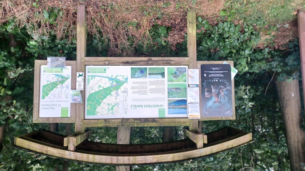
Icon type signage of route signage

The route is fully signposted with nodes.

5m 5m 5m 5m
Atmosphere image 1 of route Regional Forests of Ravels Atmosphere image 2 of route Regional Forests of Ravels
© Jan Theunis

Icon description route Description

Parking: Parking Kerkstraat, Ravels

Signposting: Junctions.

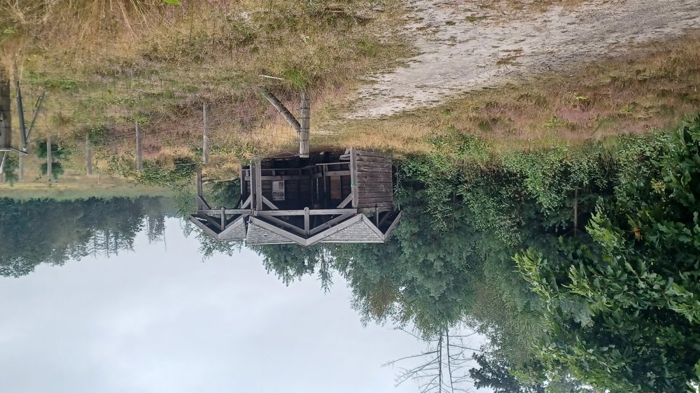
Beautiful walk, mostly through the “Regional Forests of Ravels” and thus on forest paths. There are some sections where you have to walk through grass. One grass section is certainly 2 km long, and through wet, sometimes tall grass, therefore waterproof shoes are required in wet weather/dew.

Rest benches: e.g., after 2.3/9.7/10.1/11.6/16.8 and 17.5 km.

automatic translation

Icon nodes to follow nodes to follow

Icon start route
0 km
Image node 82
0 km
Image node 83
0.2 km
Image node 84
1.8 km
Image node 79
2 km
Image node 94
2.3 km
Image node 93
2.5 km
Image node 85
3.3 km
Image node 86
4.3 km
Image node 87
5.2 km
Image node 30
5.3 km
Image node 88
6.3 km
Image node 31
6.6 km
Image node 89
8.4 km
Image node 7
8.7 km
Image node 90
9.3 km
Image node 87
10.8 km
Image node 92
11.3 km
Image node 91
11.7 km
Image node 99
12.1 km
Image node 98
13.2 km
Image node 25
13.7 km
Image node 22
14.9 km
Image node 21
15.6 km
Image node 24
16 km
Image node 23
16.2 km
Image node 97
17.6 km
Image node 31
17.9 km
Image node 96
18.2 km
Image node 96
18.2 km
Image node 95
18.4 km
Image node TP
19.4 km
Icon deviation route
19.5 km
Icon deviation route
19.6 km
Icon stop route
19.7 km
This route does not have any reviews yet. Be the first!
Rate route!

Which POI do you want to show on the map?

Experimental hiking network
Unsigned icon

The route you have chosen runs (partly) along an experimental virtual hiking node network (the blue-coloured nodes and sections on the map).

You must be logged in to plan routes here.

Experimental hiking network
Unsigned icon

The route you have chosen runs (partly) along an experimental virtual hiking node network (the blue-coloured nodes and sections on the map).

These routes are not controlled in the field. Before you start hiking here, take a minute to read what an experimental hiking node network is and what rules you should follow when hiking here.