Loading...

Around the Kanarieberg (Flemish Ardennes)

automatic translation

15.4 km • Ronse

910 0 0/5

15.4 km 0.0 km 0.0 km

route offered by

Jacques Peyskens

Icon starting point Addresse starting point (approximate)

Rue IJsmolen 46, 9600 Ronse, BE
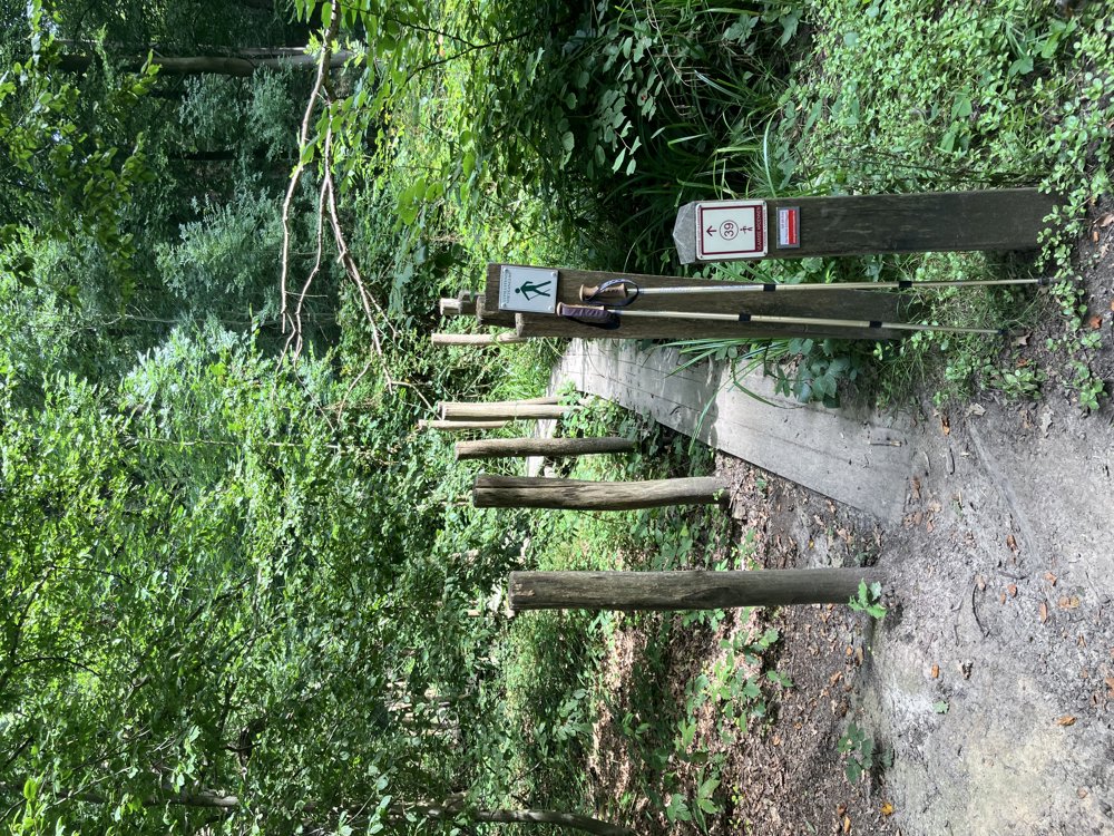
Icon type signage of route signage

The route is fully signposted with nodes.

5m 5m 5m 5m
Atmosphere image 1 of route Around the Kanarieberg (Flemish Ardennes) Atmosphere image 2 of route Around the Kanarieberg (Flemish Ardennes) Atmosphere image 3 of route Around the Kanarieberg (Flemish Ardennes)
© Jacques Peyskens

Icon description route Description

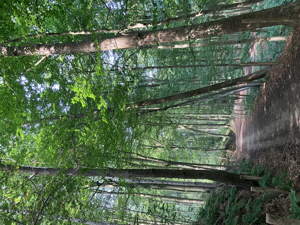
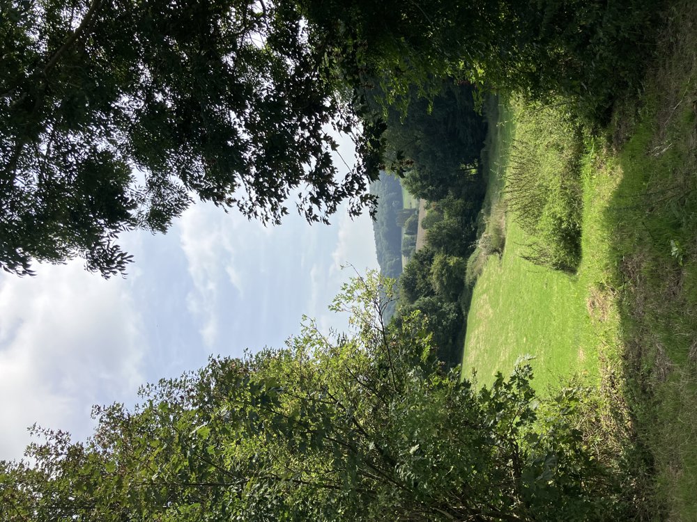
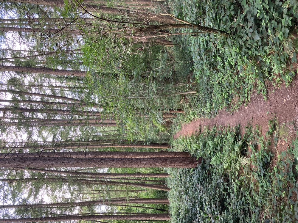
This is a real calf-burner, but a beautiful hike in the heart of the Flemish Ardennes on the territory of Ronse and Maarkedal.

The proposed walking loop offers stunning landscapes, forest paths, and tranquility along a highly varied course. A possible starting point is near junction 35 (Boekzitting) or between junctions 32 and 92 (area around Kapel Lorette or youth hostel De Fiertel) where ample parking is available.

Even if we say so ourselves: this is an absolute must for hiking enthusiasts. Do keep in mind the occasional steep climb, but the reward is great.

automatic translation

Icon nodes to follow nodes to follow

Image node 92
0 km
Image node 91
0.7 km
Image node 35
1.6 km
Image node 58
1.9 km
Image node 60
4.2 km
Image node 57
4.5 km
Image node 56
5.9 km
Image node 56
5.9 km
Image node 45
8 km
Image node 44
8.1 km
Image node 43
8.7 km
Image node 38
10 km
Image node 37
11.4 km
Image node 39
13.3 km
Image node 93
13.9 km
Image node 32
14.3 km
Image node 92
15.4 km
This route does not have any reviews yet. Be the first!
Rate route!

Which POI do you want to show on the map?

Experimental hiking network
Unsigned icon

The route you have chosen runs (partly) along an experimental virtual hiking node network (the blue-coloured nodes and sections on the map).

You must be logged in to plan routes here.

Experimental hiking network
Unsigned icon

The route you have chosen runs (partly) along an experimental virtual hiking node network (the blue-coloured nodes and sections on the map).

These routes are not controlled in the field. Before you start hiking here, take a minute to read what an experimental hiking node network is and what rules you should follow when hiking here.