 Hiking
 Login
Login More
More EN
EN Premium
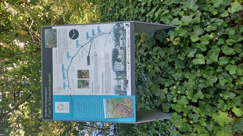
Fort 's Gravenwezel
automatic translation
21.4 km • Schilde
7591 1 3.5/5

 Addresse starting point (approximate)
Loze Visser 1, 2970 Schilde, BE
 signage
The route is fully signposted with nodes.
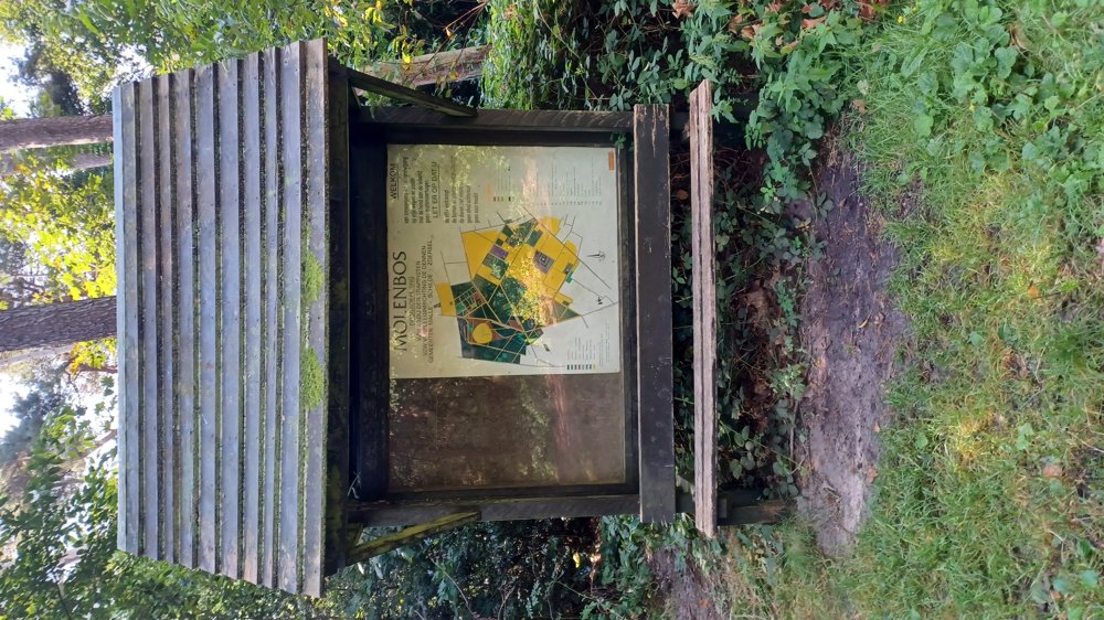
 Description
Parking: Parking at the fortress of ’s Gravenwezel, Karekiet in Schilde.
Signage: Junction points.
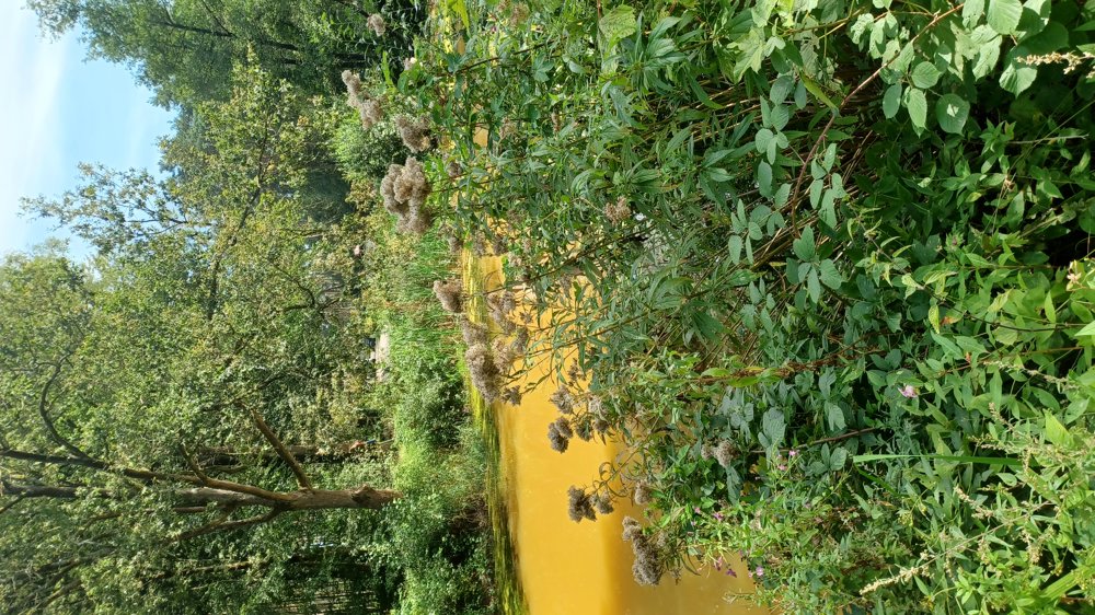
Beautiful walk with lots of shade.
The first 6.2 km consisted of many paved roads, only the 700 m along Noorderlaan was busy, afterward it was on quiet roads. From km 6.2, except for the last 1.5 km, it was on unpaved roads. Ideal walk in very sunny weather.
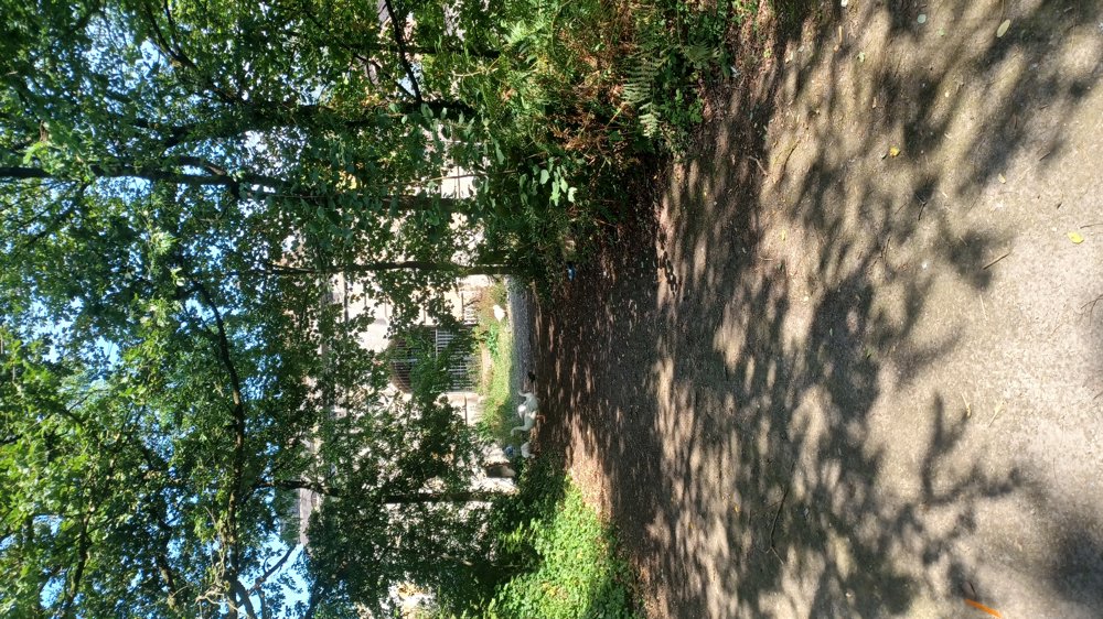
Highlight: Fortress of ’s Gravenwezel, Anti-tank ditch.
Resting benches: among others at 5,5/7,2/8,9/12,3/17,3/19,5 km.
Catering: Mano Brasserie, opposite the parking lot.
automatic translation
 nodes to follow
0 km

0.1 km
0.7 km
2 km
3.2 km
3.3 km
5.2 km
6.4 km
6.6 km
8 km
8.1 km
10.1 km
10.6 km
10.8 km
11.2 km
11.3 km
12.3 km
13.3 km
13.6 km
14.1 km
14.1 km
14.2 km
14.9 km
16.3 km
16.7 km
17.1 km
17.5 km
17.7 km
18 km
18.7 km
19.1 km
19.5 km
21.1 km

21.4 km
Sunday, February 16, 2025 by C.P.Barring start/end along fairly busy lane & through residential neighborhood is, otherwise very nice & quiet hike. Beautiful nature along the way! Despite the rain of the last few weeks, the trail is well walkable with appropriate hiking shoes.
automatic translation


 Upgrade to Premium Plus
