 Hiking
 Login
Login More
More EN
EN Premium
Flemish Ardennes(Summer Walk)
automatic translation
9.4 km • Zottegem
7514 0 0/5

 Addresse starting point (approximate)
Kruiswaterplein 5, 9620 Zottegem, BE
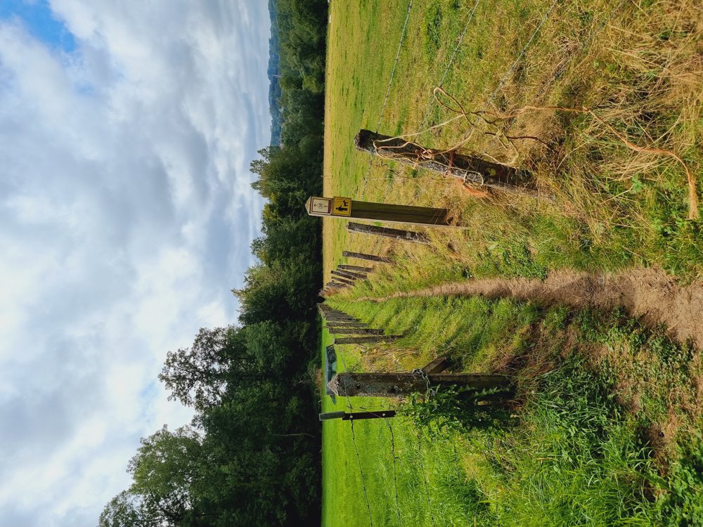
 signage
The route is fully signposted with nodes.
 Description
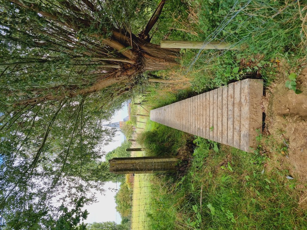
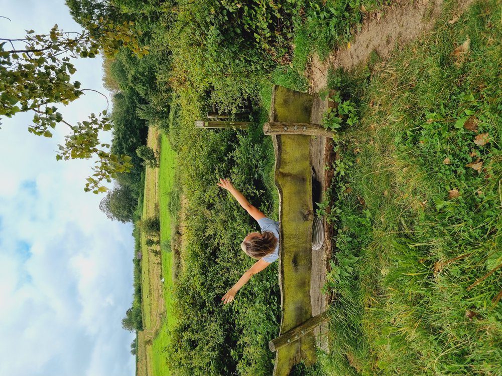
🍃My Summer Walk in the Flemish Ardennes☀️
Route with junctions🔢
A lot of variety with boardwalks and especially beautiful views🫶🏻
Still in love with the Flemish Ardennes💚
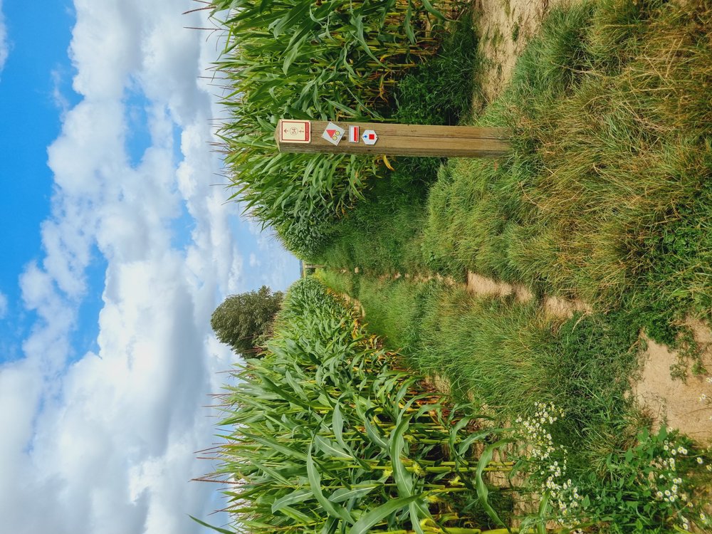
⚠️ At junction 54, you can't pass through at the moment. I took a short detour with the Wandelknooppunt app to the Kalvarieweg; you’ll be back on the route in no time.
🍺🍴 You can stop at De Stappersalm, just after 3️⃣8️⃣ (halfway through the walk) or Huys Te Oudenhove (start/end of the walk)
Enjoy it!
Sarah
🔢 65-54-53-35-36-37-39-38-46-47-48-55-54-65
📏 10 km
👩🏫 My rating: 9/10
🐾 Dogs welcome on a leash
👶🏻 Not buggy-proof
👩🦽 Not wheelchair accessible
🅿️ Kruiswaterplein 1, Sint-Goriks-Oudenhove (Zottegem)
(East Flanders)
automatic translation
 nodes to follow
0 km
0.2 km
0.6 km
3.3 km
3.8 km
5.1 km
5.7 km
6.2 km
7.2 km
7.4 km
7.7 km
8.2 km
9.3 km
9.3 km
9.4 km


 Upgrade to Premium Plus
