 Hiking
 Login
Login More
More EN
EN Premium
Through the Leenderbos
automatic translation
21.8 km • Heeze-Leende
3620 0 0/5

 Addresse starting point (approximate)
De Kluis 1A, 3930 Hamont-Achel, BE
 signage
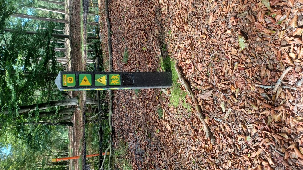
The route is fully signposted with nodes.
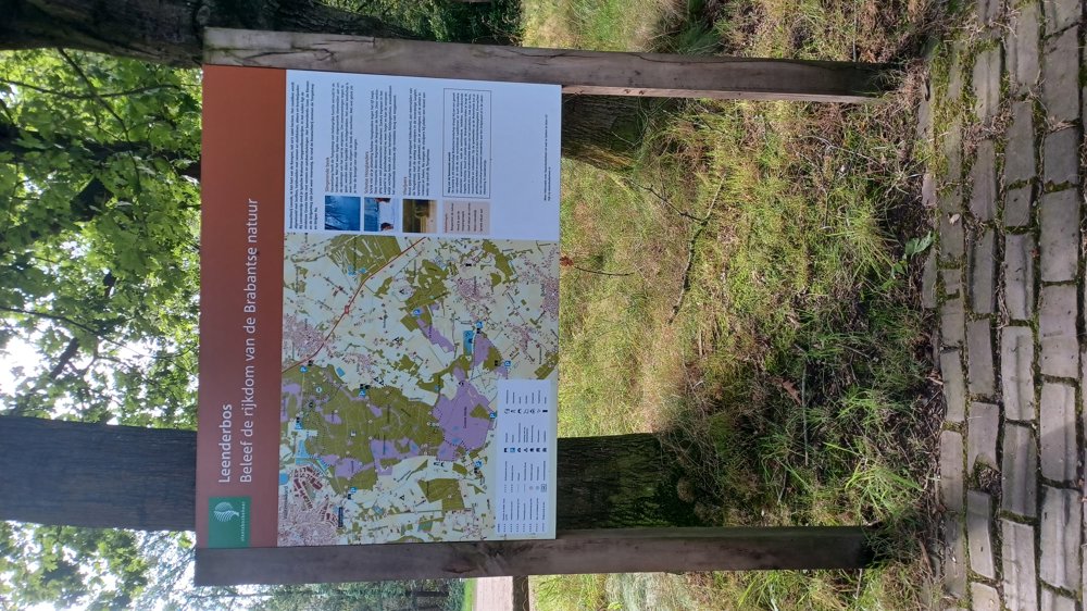
 Description
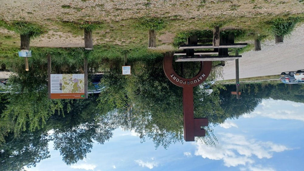
Parking: Natuurpoort Achelse Kluis
Signage: Junction points
This walk is 100% on Dutch territory. The junction points are marked with a yellow triangle on a green background. We deviated twice from the junction point signage.
The first time, access to a meadow was blocked by Galloway cattle (after 500 m) and the second time, the (wet) grass was really too high. Make sure to wear high waterproof hiking boots. If you want to avoid the cattle, go straight after 200 m and take the first path on the right. Between junction points 69 and 76, the path has been rerouted.
Highlight: Abbey Achelse Kluis
Rest benches: among others after 2.1/4.3/7/9.1/12/17.4 and 20.8 km.
Catering: Brasserie “De Achelse Kluis”
automatic translation
 nodes to follow
0 km
2.5 km
2.8 km
5.2 km
5.7 km
6.7 km
7 km
8 km
9 km
9.9 km
11.9 km
13.1 km
14.3 km
14.5 km
15.4 km
17 km
17.4 km
18.1 km
18.3 km
19.7 km
21.1 km
21.8 km
21.8 km


 Upgrade to Premium Plus
