Loading...

Polder Forest Zandhove

automatic translation

11.3 km • Zandhoven

1370 0 0/5

11.3 km 0.0 km 0.0 km

route offered by

Leentje Parmentier

Icon starting point Addresse starting point (approximate)

Patrijzenlaan 16, 2242 Zandhoven, BE

Icon type signage of route signage

The route is fully signposted with nodes.

5m 5m 5m 5m
Atmosphere image 1 of route Polder Forest Zandhove Atmosphere image 2 of route Polder Forest Zandhove Atmosphere image 3 of route Polder Forest Zandhove
© Leentje Parmentier

Icon description route Description

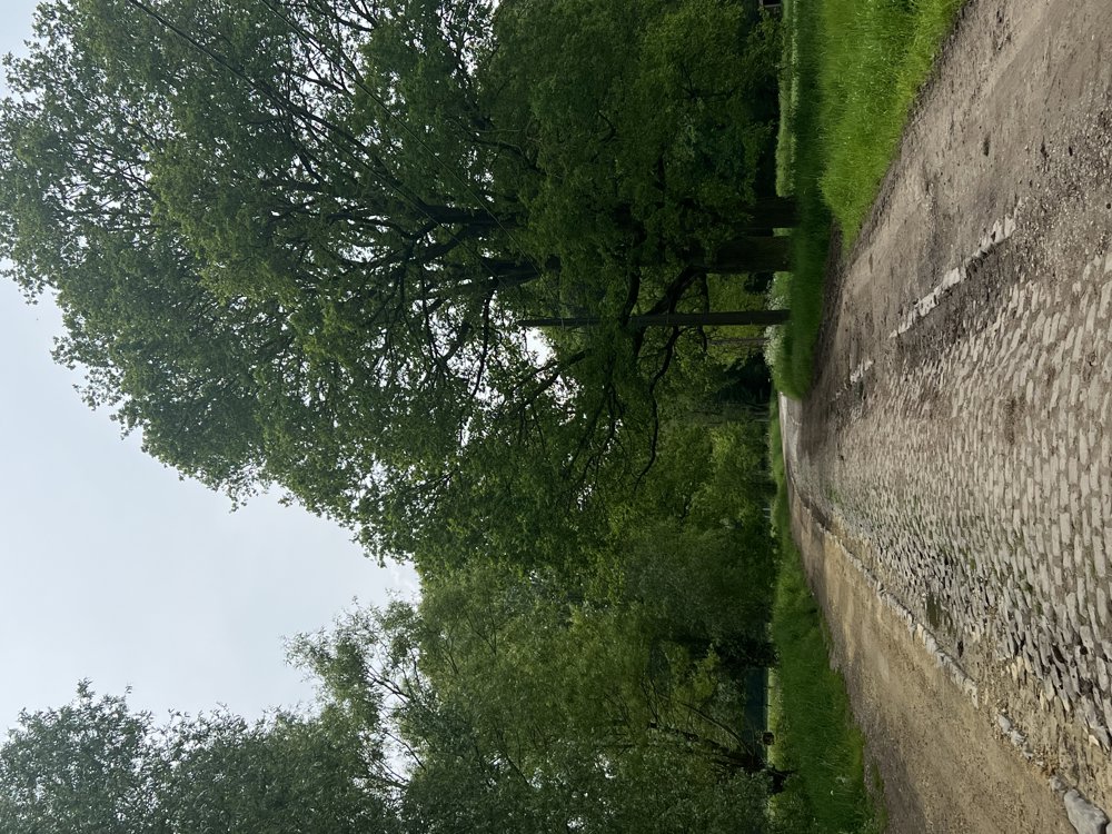
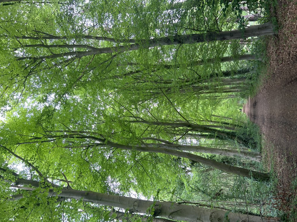
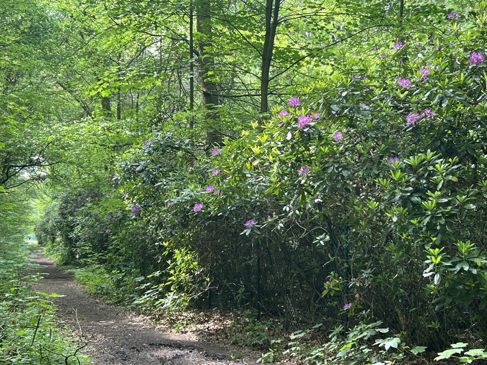
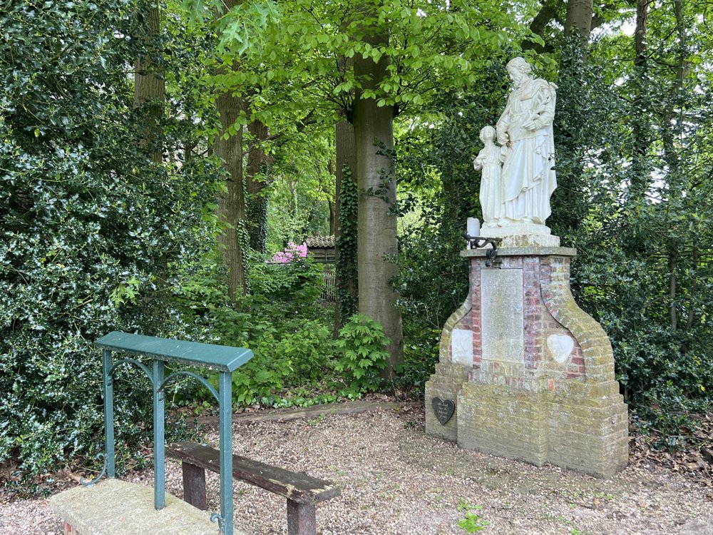
Polderbos Zandhove - 11.4 km

Always looking for quiet roads and paths.

(A walk from before I was selected as Pathfinder, which is why the description is still missing, but I want to already share this beautiful walk.)

automatic translation

Icon nodes to follow nodes to follow

Image node 57
0 km
Image node 56
0.5 km
Image node 55
0.6 km
Image node 54
1 km
Image node 52
2.8 km
Image node 50
3.8 km
Image node 49
4 km
Image node 48
4.8 km
Image node 41
5.5 km
Image node 40
5.6 km
Image node 40
5.7 km
Image node 38
6.1 km
Image node 37
6.7 km
Image node 36
7.1 km
Image node 32
7.9 km
Image node 33
8.4 km
Image node 34
9.3 km
Image node 34
9.3 km
Image node 34
9.4 km
Image node 57
11.2 km
Image node 57
11.3 km
This route does not have any reviews yet. Be the first!
Rate route!

Which POI do you want to show on the map?

Experimental hiking network
Unsigned icon

The route you have chosen runs (partly) along an experimental virtual hiking node network (the blue-coloured nodes and sections on the map).

You must be logged in to plan routes here.

Experimental hiking network
Unsigned icon

The route you have chosen runs (partly) along an experimental virtual hiking node network (the blue-coloured nodes and sections on the map).

These routes are not controlled in the field. Before you start hiking here, take a minute to read what an experimental hiking node network is and what rules you should follow when hiking here.