 Hiking
 Login
Login More
More EN
EN Premium
Countryside Watou
automatic translation
9.6 km • Poperinge
3491 0 0/5
9.6 km
0.0 km
0.0 km
10 km
© OpenStreetMap contributors, Tracestrack

 Addresse starting point (approximate)
Kapelaanstraat 1, 8978 Poperinge, BE
 signage
The route is fully signposted with nodes.
© Jacques Peyskens
 Description
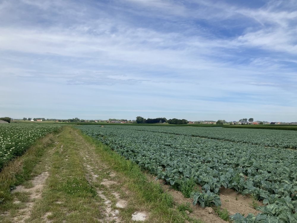
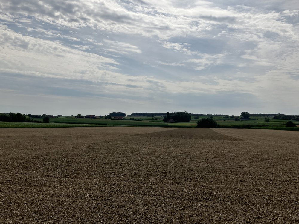
This is a walk in the vicinity of Watou (Poperinge), which allows us to fully enjoy the rural character of the area.
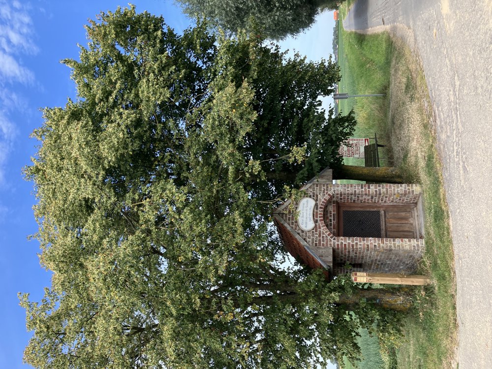
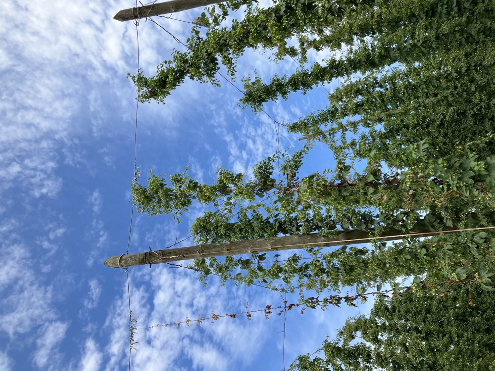
Start at walking junction 81 in the center of Watou towards walking junction 82. You need to follow the road to Poperinge for a while, but from junction 82 you find yourself in vast fields with all kinds of crops (cabbage, hops, bush beans, etc...), chapels, and of course, with wide vistas.
Between junctions 47 and 80, we briefly cross the French border. Flat walk.
automatic translation
 nodes to follow
0 km
1.3 km
2.5 km
3.3 km
4.4 km
5.3 km
6.9 km
8 km
9.6 km


 Upgrade to Premium Plus
