 Hiking
 Login
Login More
More EN
EN Premium
Ferme Libert Ardennes loop
automatic translation
19.2 km • Malmedy
1280 0 0/5

 Addresse starting point (approximate)
Route De La Ferme Libert 33, 4960, BE
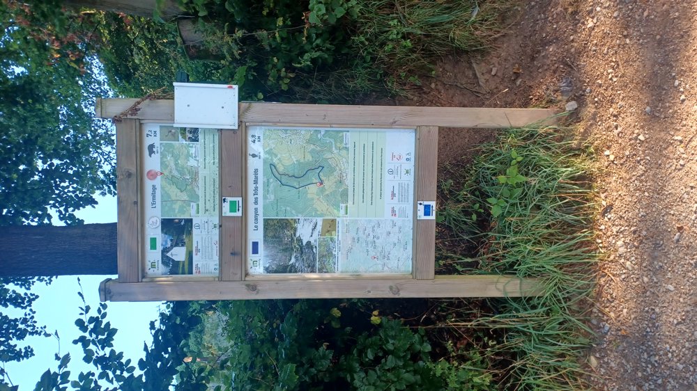
 signage
The route is not signposted. Use a GPS device or our app to follow the route through the virtual nodes.
 Description
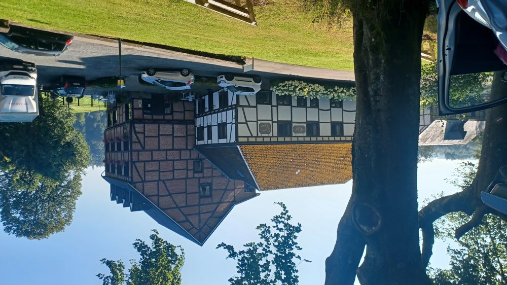
Parking: Bevercé, Route de la Ferme Libert (Hotel)
Signage: Virtual junction points.
Beautiful walk as an Ardennes walk should be, along streams/rivers and forest paths. Especially the sections along 'Le Targnon' and especially the 'Trôs Maréts' are worthwhile. Along the 'Trôs Maréts', you need to be sure-footed to step over the rocks. You need to overcome about 500 meters of elevation. You start directly uphill with 60 m elevation, then fairly calm, after 2.5 km an ascent of 140 m elevation.
Then it is mainly downhill to the camping/Taverne du Moulin, where you can get a drink. After the camping, a steep ascent (120 m elevation). The path after junction 129 first goes through a wild section (50 m) full of 2 m high broom and steeply downhill to the Warche. From the chapel in Bevercé, it continues uphill on an asphalt road for another 600 m (90 m elevation) to the endpoint.
Rest benches: e.g. after 0.8 / 1.9 / 5 / 9.9 / 11.2 (parking) / 11.6 / 14.3 / 15.3 / 16.1 km
Catering: Taverne du Moulin and Hotel/Restaurant Ferme Libert
automatic translation
 nodes to follow
0 km

0.6 km
1.1 km
1.7 km
2.3 km
3.8 km
5.8 km
6.5 km
7.8 km
10.4 km
11.2 km
11.5 km
12.6 km
12.8 km
13.9 km
14.1 km
15.3 km
16 km
16.7 km
16.9 km
17.6 km
18.1 km
18.6 km
19.2 km


 Upgrade to Premium Plus
