 Hiking
 Login
Login More
More EN
EN Premium
Tillegembos near Bruges
automatic translation
10.2 km • Brugge
9610 2 3.2/5

 Addresse starting point (approximate)
Tillegemstraat 83, 8200 Brugge, BE
 signage
The route is fully signposted with thematic signs (no nodes).
 Description
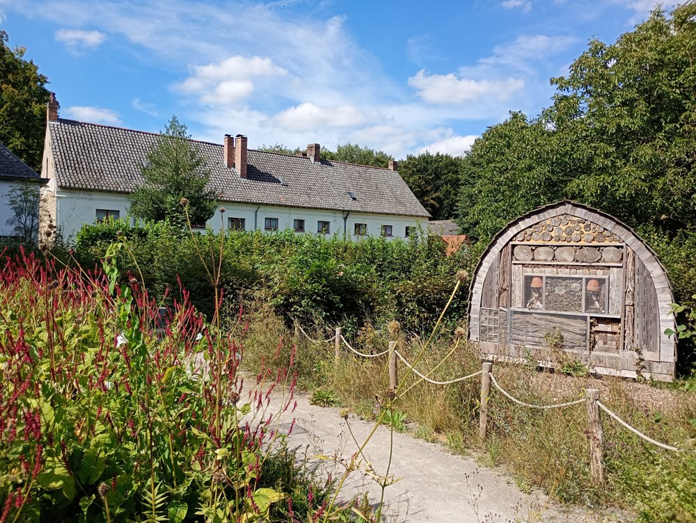
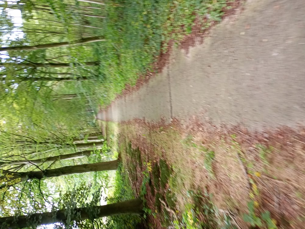
Tillegembos Walk 10.5 km of which 6.9 km on unpaved roads. Sanitary stop halfway.
Departure: Parking Tillegembos – Tillegemstraat
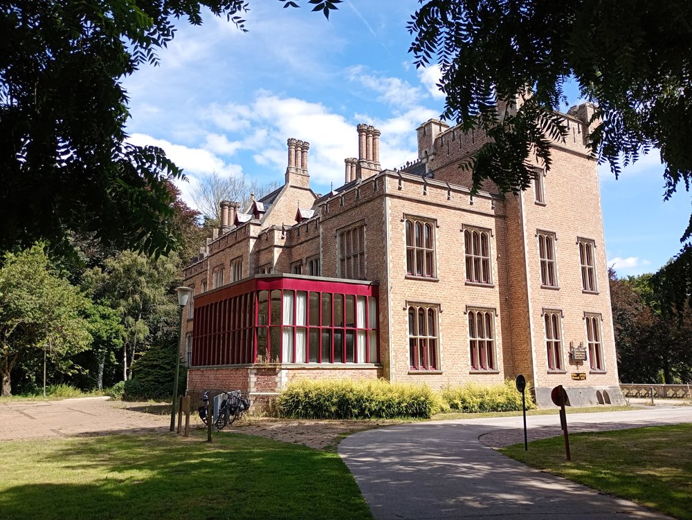
This walk takes us to various castles and estates:
Castle De Karmel – now a youth center and residence
Cozmix public observatory – here we can take a sanitary stop in 't Koetshuis
Then to the Tudor castle with the ornamental garden and the herb garden (free entry)
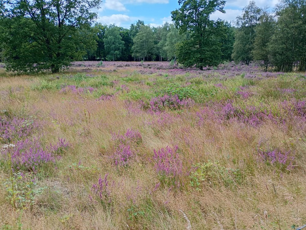
And then via the Valkenbos back to the starting point.
automatic translation
Monday, February 3, 2025 by Y.V.Nice hike, but at the crossing of the Torhout lane you are not allowed to take the designated road. It runs over private property.
automatic translation
Friday, February 7, 2025 by Peter D'hontThe first crossing or the second at the seaway ?
automatic translation
Sunday, December 1, 2024 by andre tolpethis hike is beautiful , but there are absolutely no signs also no nodes so only doable with GPS . Done 01-12-2024 .
automatic translation


 Upgrade to Premium Plus
