 Hiking
 Login
Login More
More EN
EN Premium
The Blankaart Diksmuide 11.3 km
automatic translation
11.5 km • Diksmuide
9534 1 5/5

 Addresse starting point (approximate)
Iepersteenweg 56, 8600 Diksmuide, BE
 signage
The route is fully signposted with nodes.
 Description
Departure: Visitor Centre De Blankaart - Iepersteenweg 56 - Diksmuide
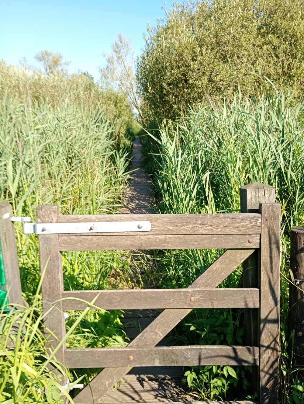
11.5 km, of which 5.5 km on unpaved roads
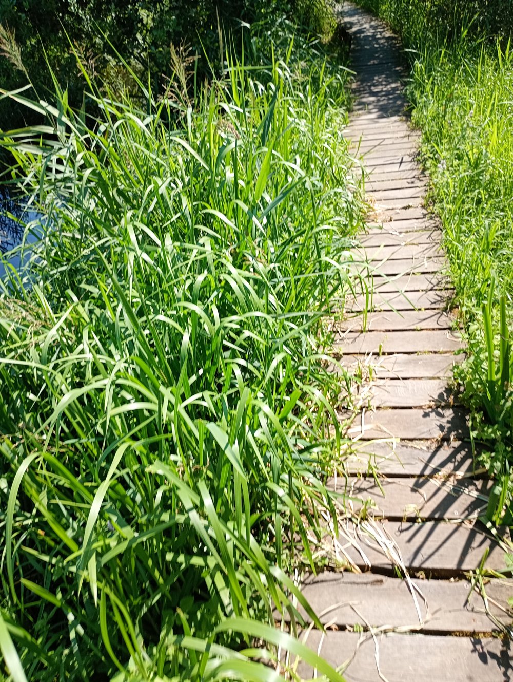
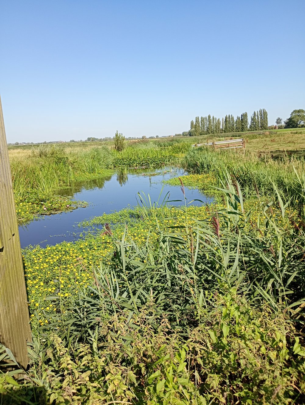
Walk along the Blankaart and the Woumen reservoir. The various boardwalks ensure that you can reach the bird-watching tower and the bird hide without getting your feet wet. This way, you can fully enjoy the cormorants, black-tailed godwits, spoonbills, harriers, and white-tailed eagles.
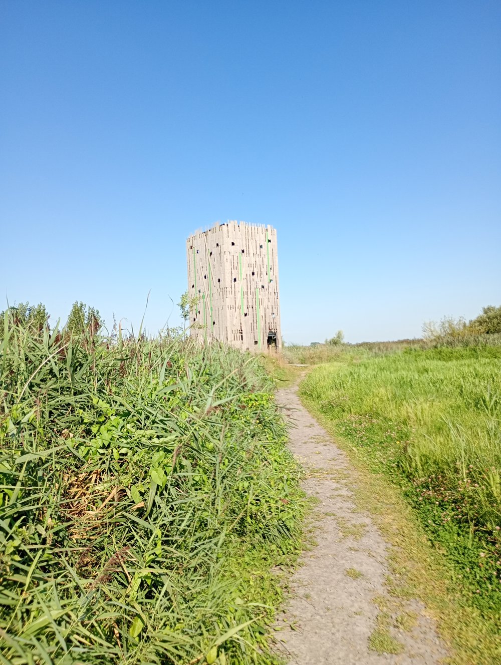
The Blankaart not only houses a bird hide but also an actual bird-watching tower. From this height, you can observe the wide range of bird species in this area undisturbed.
Sanitary stop approximately halfway at www.madeliefje-ijs.be
Afterwards, return to the starting point via field roads
automatic translation
 nodes to follow
0 km
0.4 km
0.6 km
1.1 km
2.2 km
3.3 km
3.8 km
4.5 km
5.7 km
6.9 km
8 km
9.3 km
9.8 km
9.8 km
10.3 km
10.4 km
10.4 km
11.5 km


 Upgrade to Premium Plus
