Loading...

Walk Zonnebeke

automatic translation

7.9 km • Zonnebeke

1471 0 0/5

7.9 km 0.0 km 0.0 km

route offered by

Sarah wandel.hike.belgië

Icon starting point Addresse starting point (approximate)

Berten Pilstraat 13, 8980 Zonnebeke, BE

Icon type signage of route signage

The route is fully signposted with nodes.

5m 5m 5m 5m
Atmosphere image 1 of route Walk Zonnebeke Atmosphere image 2 of route Walk Zonnebeke Atmosphere image 3 of route Walk Zonnebeke
© Sarah wandel.hike.belgië

Icon description route Description

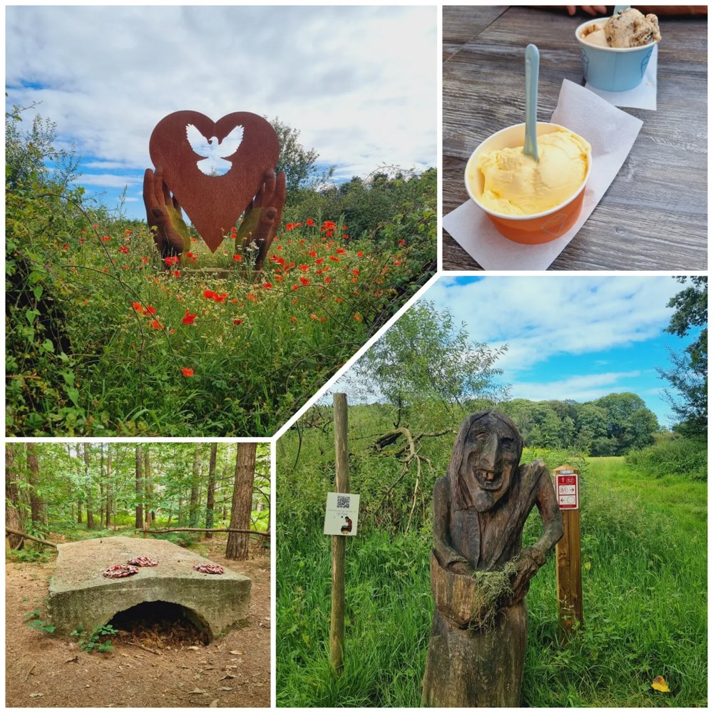
Exploring the new walking network 'Ieperboog Oost'

A walk that left a strong impression.

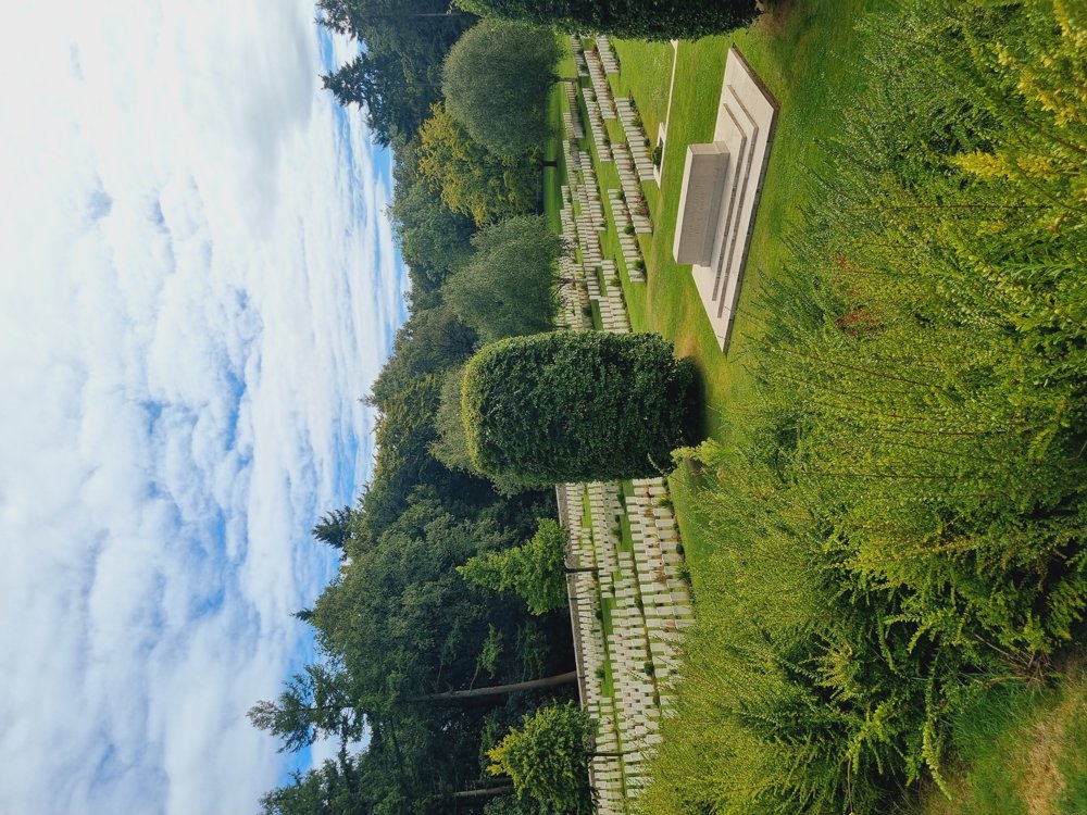
🪖 Slightly deviate to the left at junction 31 (up the steps) to go to the memorial stone. From there, you have a nice view of the military cemetery.

👩‍🏫 My rating: 8.5/10

🐾 Dogs welcome on a leash
👶🏻 Not stroller-friendly
👩‍🦽 Not wheelchair-friendly

🍴 Koklikoo (start of the walk)
🍦🍺 De Spilhoeve at junction 26

🅿️ Parking 2️⃣
Berten Pilstraat, at house number 18
Zonnebeke (West Flanders)
⚠️ Parking 1️⃣ is a blue zone, max. 3 hours

Enjoy it! 🫶🏻🌺

Sarah

automatic translation

Icon nodes to follow nodes to follow

Image node 10
0 km
Image node 11
0.2 km
Image node 17
0.3 km
Image node 18
0.7 km
Image node 28
1.9 km
Image node 29
2.1 km
Image node 30
2.1 km
Image node 31
2.2 km
Image node 32
2.4 km
Image node 33
2.8 km
Image node 37
3 km
Image node 38
3.3 km
Image node 51
3.8 km
Image node 52
3.9 km
Image node 39
4.2 km
Image node 40
4.3 km
Image node 41
4.4 km
Image node 27
4.7 km
Image node 26
5.5 km
Image node 20
5.7 km
Image node 19
6.4 km
Image node 16
6.8 km
Image node 15
6.8 km
Image node 13
6.9 km
Image node 14
7 km
Image node 6
7.3 km
Image node 7
7.5 km
Image node 8
7.6 km
Image node 9
7.7 km
Image node 10
7.9 km
This route does not have any reviews yet. Be the first!
Rate route!

Which POI do you want to show on the map?

Experimental hiking network
Unsigned icon

The route you have chosen runs (partly) along an experimental virtual hiking node network (the blue-coloured nodes and sections on the map).

You must be logged in to plan routes here.

Experimental hiking network
Unsigned icon

The route you have chosen runs (partly) along an experimental virtual hiking node network (the blue-coloured nodes and sections on the map).

These routes are not controlled in the field. Before you start hiking here, take a minute to read what an experimental hiking node network is and what rules you should follow when hiking here.