Loading...

Lock & head of Het Zwin, shortened

automatic translation

13.6 km • Sluis

1230 0 0/5

13.6 km 0.0 km 0.0 km

route offered by

Leentje Parmentier

Icon starting point Addresse starting point (approximate)

Hoogstraat 68, 4524LA Sluis, NL

Icon type signage of route signage

The route is fully signposted with nodes.

5m 5m 5m 5m
Atmosphere image 1 of route Lock & head of Het Zwin, shortened Atmosphere image 2 of route Lock & head of Het Zwin, shortened Atmosphere image 3 of route Lock & head of Het Zwin, shortened
© Leentje Parmentier

Icon description route Description

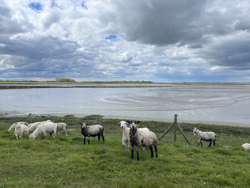
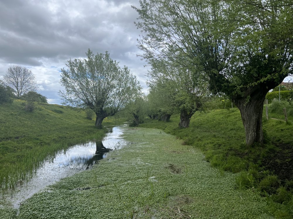
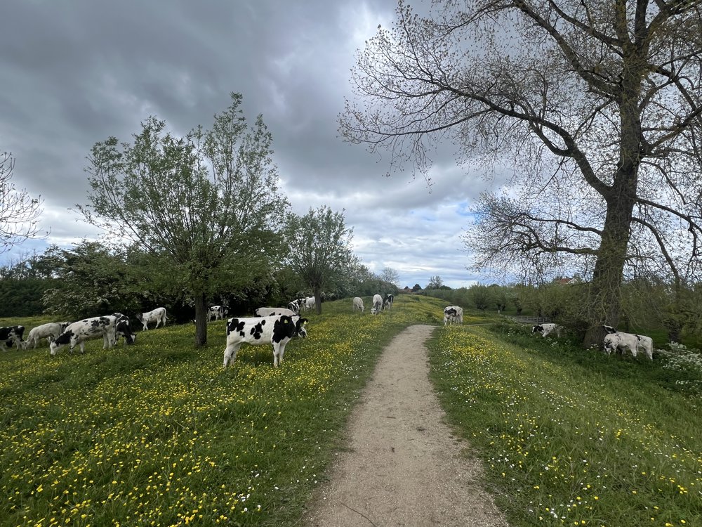
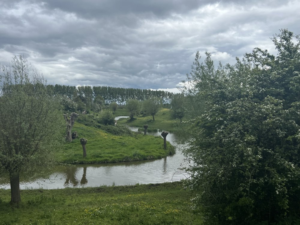
From Sluis, along the drainage canal and the old sea dike, to the head of the Zwin 🐽

The return is 3 km shorter than the previous walk.

Many unpaved roads, cows, and sheep spotted 🐮🥰🐑

It is fun to make this walk when the water is high and then once when it is low. Then you will see both extremes in the Zwin.

automatic translation

Icon nodes to follow nodes to follow

Image node 64
0 km
Image node 65
0.6 km
Image node 31
1.9 km
Image node 45
2.6 km
Image node 25
4 km
Image node 1
5.3 km
Image node 46
6.3 km
Image node 47
7 km
Image node 43
8 km
Image node 43
8.1 km
Image node 44
8.5 km
Image node 84
12.1 km
Image node 64
13.7 km
This route does not have any reviews yet. Be the first!
Rate route!

Which POI do you want to show on the map?

Experimental hiking network
Unsigned icon

The route you have chosen runs (partly) along an experimental virtual hiking node network (the blue-coloured nodes and sections on the map).

You must be logged in to plan routes here.

Experimental hiking network
Unsigned icon

The route you have chosen runs (partly) along an experimental virtual hiking node network (the blue-coloured nodes and sections on the map).

These routes are not controlled in the field. Before you start hiking here, take a minute to read what an experimental hiking node network is and what rules you should follow when hiking here.