 Hiking
 Login
Login More
More EN
EN Premium
Lock & head of The Zwin
automatic translation
17.3 km • Sluis
2400 0 0/5
17.3 km
0.0 km
0.0 km
10 km
© OpenStreetMap contributors, Tracestrack

 Addresse starting point (approximate)
Hoogstraat 68, 4524LA Sluis, NL
 signage
The route is fully signposted with nodes.
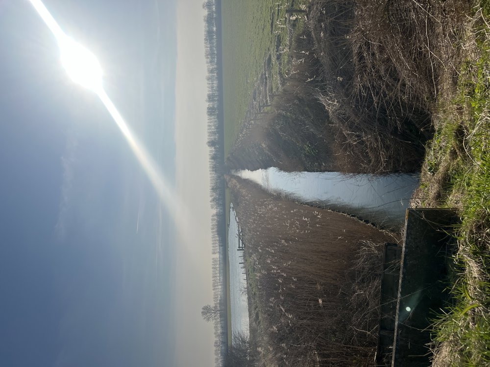
© Leentje Parmentier
 Description
From Sluis, along the drainage canal and the old sea dike, to the head of Het Zwin 🐽
Many unpaved roads 🥾🥾
It is fun to take this walk when it is high tide, and then once again at low tide. You will then see both extremes in Het Zwin.
(Sorry, only 1 photo this time 🙈)
automatic translation
 nodes to follow
0 km
1.6 km
5.2 km
5.5 km
5.6 km
6.6 km
7.3 km
8.4 km
9.6 km
11.1 km
11.8 km
14.8 km
15.4 km
16.8 km
17.3 km


 Upgrade to Premium Plus
