Loading...

St. Laureins, Leopold Canal & many creeks

automatic translation

13.6 km • Sint-Laureins

510 0 0/5

13.6 km 0.0 km 0.0 km

route offered by

Leentje Parmentier

Icon starting point Addresse starting point (approximate)

Beukenhof 13, 9980 Sint-Laureins, BE

Icon type signage of route signage

The route is fully signposted with nodes.

5m 5m 5m 5m
Atmosphere image 1 of route St. Laureins, Leopold Canal & many creeks Atmosphere image 2 of route St. Laureins, Leopold Canal & many creeks Atmosphere image 3 of route St. Laureins, Leopold Canal & many creeks
© Leentje Parmentier

Icon description route Description

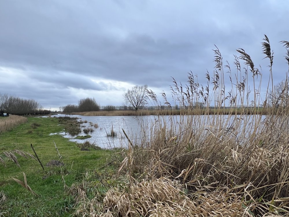
St. Laureins, Blokkreek, Hollandersgatkreek, Mazurekreek, Leopold Canal, Bentille Creek

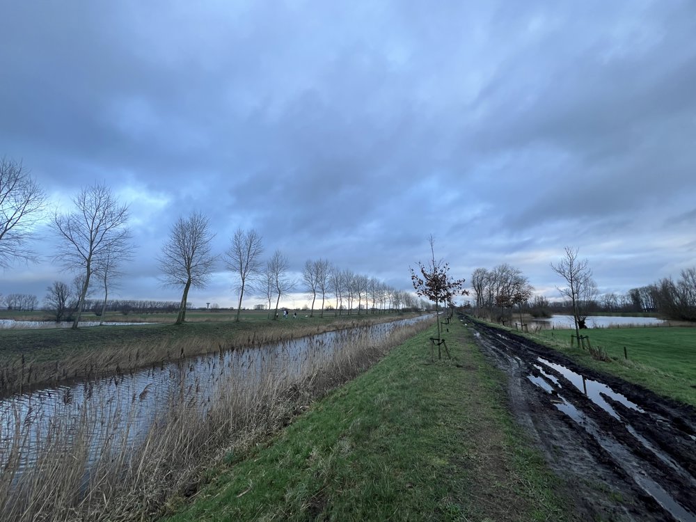
Walking next to, over, and between water, water, and more water. 💦💦💦💦💦

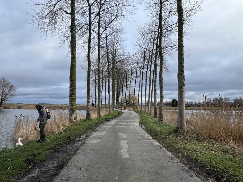
Crossing the Leopold Canal with the foot ferry remains a must 🤩😂

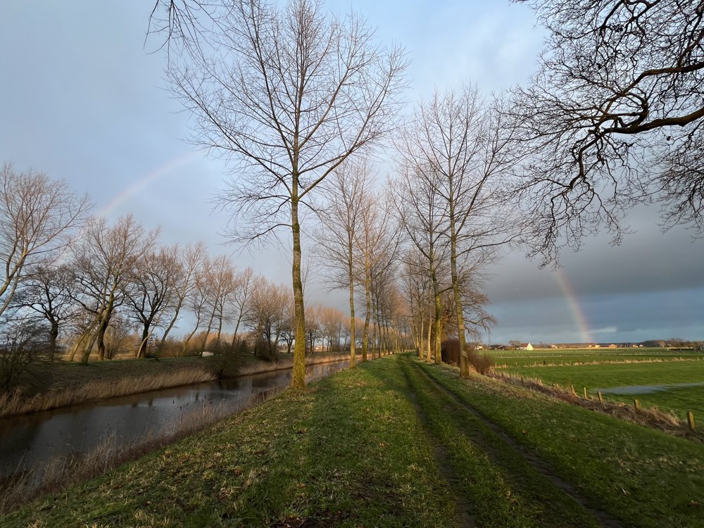
Upon return, we were treated to a rainbow 🌈

automatic translation

Icon nodes to follow nodes to follow

Image node 11
0 km
Image node 10
0.5 km
Image node 12
0.9 km
Image node 51
1.1 km
Image node 50
2 km
Image node 99
3.5 km
Image node 97
4.6 km
Image node 98
5.9 km
Image node 85
7.6 km
Image node 84
8.4 km
Image node 83
9.1 km
Image node 25
10.4 km
Image node 23
12 km
Image node 12
13.1 km
Image node 10
13.6 km
This route does not have any reviews yet. Be the first!
Rate route!

Which POI do you want to show on the map?

Experimental hiking network
Unsigned icon

The route you have chosen runs (partly) along an experimental virtual hiking node network (the blue-coloured nodes and sections on the map).

You must be logged in to plan routes here.

Experimental hiking network
Unsigned icon

The route you have chosen runs (partly) along an experimental virtual hiking node network (the blue-coloured nodes and sections on the map).

These routes are not controlled in the field. Before you start hiking here, take a minute to read what an experimental hiking node network is and what rules you should follow when hiking here.