Loading...

Waterdunen & Recreational Nature Groese Polders

automatic translation

12.6 km • Sluis

1.6463 1 5/5

12.6 km 0.0 km 0.0 km
10 km
© OpenStreetMap contributors, Tracestrack

route offered by

Leentje Parmentier

Icon starting point Addresse starting point (approximate)

Sint Bavodijk 13, 4504AA Sluis, NL
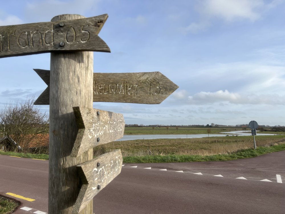
Icon type signage of route signage

The route is fully signposted with nodes.

23.8 m 28.6 m 13.3 m -0.3 m These values indicate respectively the number of meters to rise, the highest and the lowest point in meters.
Atmosphere image 1 of route Waterdunen & Recreational Nature Groese Polders Atmosphere image 2 of route Waterdunen & Recreational Nature Groese Polders Atmosphere image 3 of route Waterdunen & Recreational Nature Groese Polders
© Leentje Parmentier

Icon description route Description

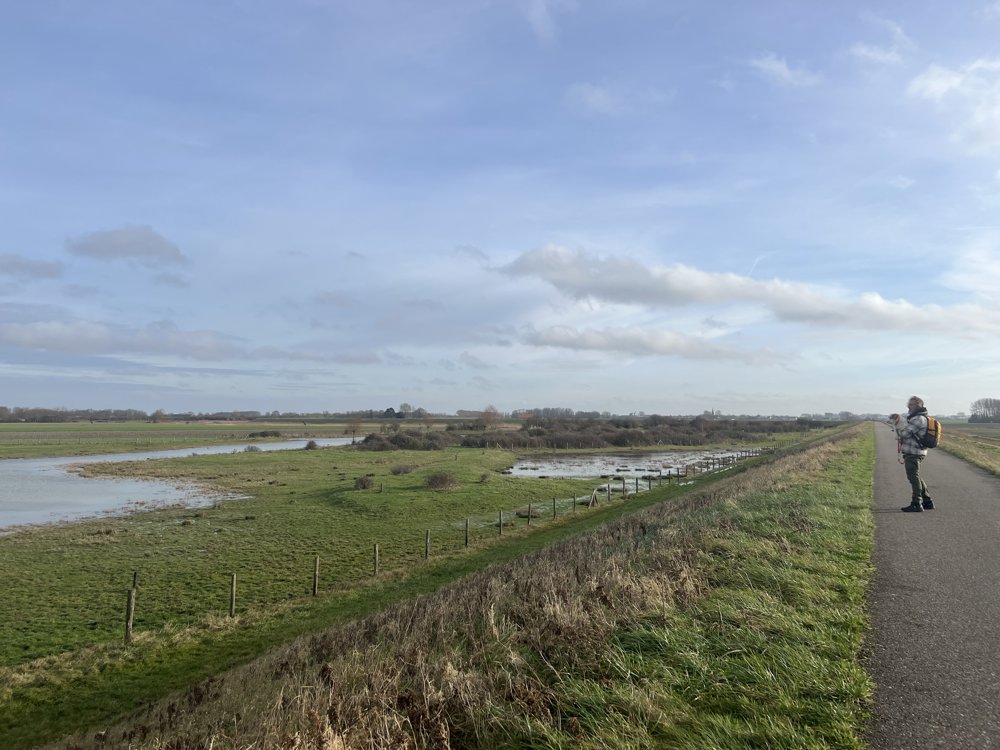
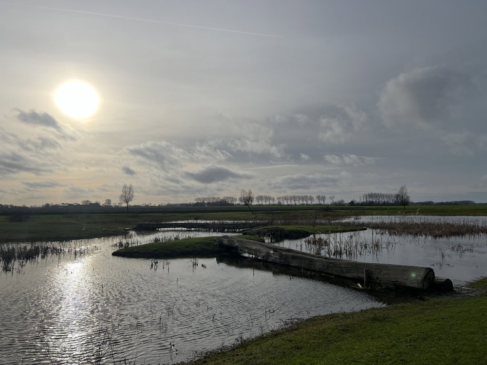
Waterdunen, Zwarte Gatsche Kreek & Recreation Nature Groese Polders - 12.6 km

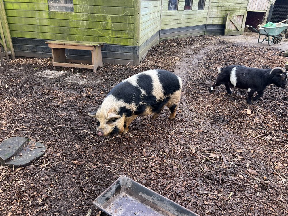
Take your time because in the Groese Polders there is recreation in nature for young and old: petting zoo 🐷🐐, bunker tour 🪖🎖️

automatic translation

Icon nodes to follow nodes to follow

Image node 36
0 km
Image node 17
1.5 km
Image node 18
2.3 km
Image node 11
3.9 km
Image node 22
5.1 km
Image node 81
5.7 km
Image node 82
7.5 km
Image node 74
9.8 km
Image node 93
11.1 km
Image node 37
11.5 km
Image node 36
12.6 km
This route has 1 review(s).
Rate route!

Saturday, January 18, 2025 by Peter De PourcqEnjoyed this walk in nature . Did it outside the tourist season so we encountered few hikers and bikers and what gave us the silence in the area. The beautiful weather gave us beautiful views. We deviated from the route for a pit stop in Groede. Best to use GPS as there are no signs here and there.
automatic translation

Which POI do you want to show on the map?

Experimental hiking network
Unsigned icon

The route you have chosen runs (partly) along an experimental virtual hiking node network (the blue-coloured nodes and sections on the map).

You must be logged in to plan routes here.

Experimental hiking network
Unsigned icon

The route you have chosen runs (partly) along an experimental virtual hiking node network (the blue-coloured nodes and sections on the map).

These routes are not controlled in the field. Before you start hiking here, take a minute to read what an experimental hiking node network is and what rules you should follow when hiking here.

By clicking 'Accept all cookies,' you agree to the use of cookies for an enhanced user experience, website traffic analysis, and personalized advertisements. Cookie policy