Loading...

From Sluis to Retranchement & Het Zwin

automatic translation

14.6 km • Sluis

650 0 0/5

14.6 km 0.0 km 0.0 km

route offered by

Leentje Parmentier

Icon starting point Addresse starting point (approximate)

Hoogstraat 68B, 4524LA Sluis, NL

Icon type signage of route signage

The route is fully signposted with nodes.

5m 5m 5m 5m
Atmosphere image 1 of route From Sluis to Retranchement & Het Zwin Atmosphere image 2 of route From Sluis to Retranchement & Het Zwin Atmosphere image 3 of route From Sluis to Retranchement & Het Zwin
© Leentje Parmentier

Icon description route Description

From Sluis to Retranchement & Het Zwin - 14.7 km

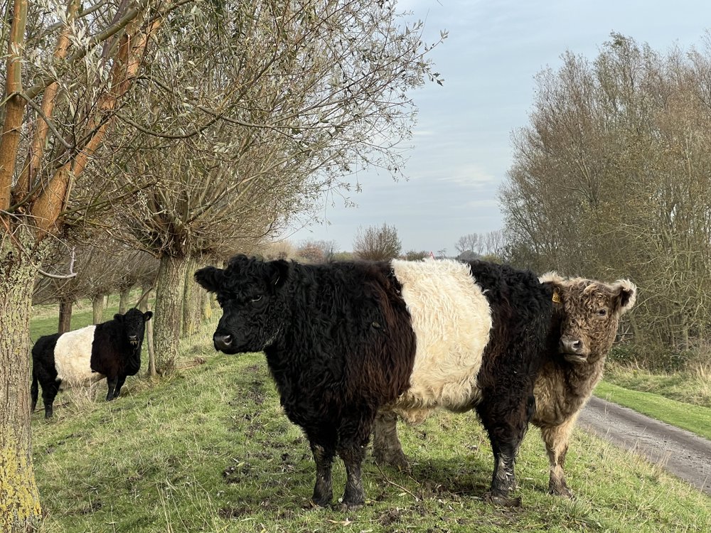
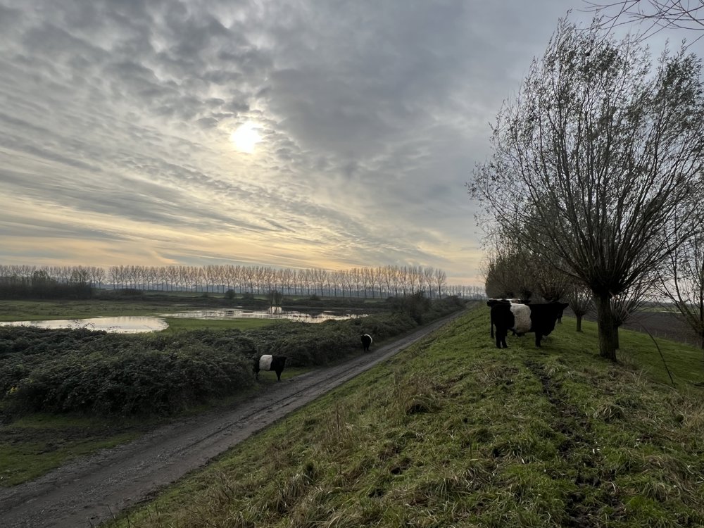
Many unpaved paths, around creeks, walking through a meadow with very beautiful cows.

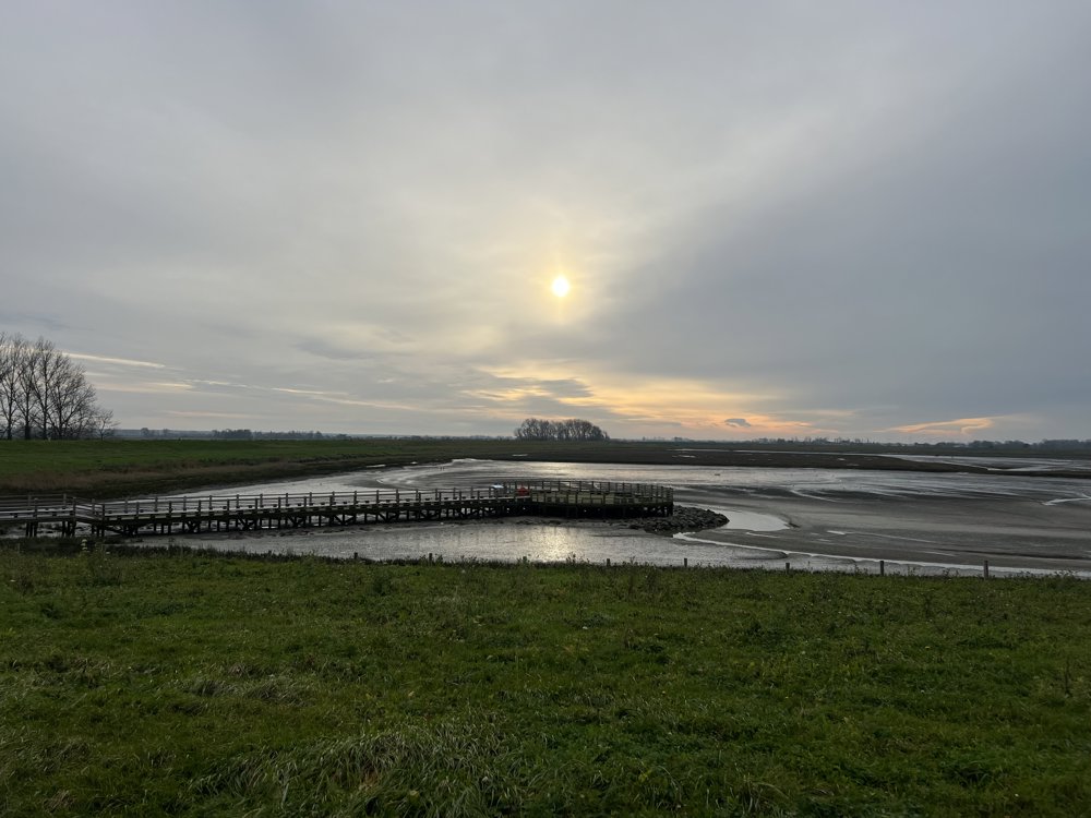
It is fun to do this walk once when it is high tide, and then again when it is low tide, then you see both extremes in Het Zwin.

automatic translation

Icon nodes to follow nodes to follow

Image node 65
0 km
Image node 31
1.3 km
Image node 45
2 km
Image node 44
3.6 km
Image node 43
3.9 km
Image node 43
4.1 km
Image node 42
5.3 km
Image node 13
6.2 km
Image node 12
7.3 km
Image node 12
7.4 km
Image node 46
8.9 km
Image node 1
9.9 km
Image node 25
11.1 km
Image node 45
12.6 km
Image node 31
13.3 km
Image node 65
14.6 km
This route does not have any reviews yet. Be the first!
Rate route!

Which POI do you want to show on the map?

Experimental hiking network
Unsigned icon

The route you have chosen runs (partly) along an experimental virtual hiking node network (the blue-coloured nodes and sections on the map).

You must be logged in to plan routes here.

Experimental hiking network
Unsigned icon

The route you have chosen runs (partly) along an experimental virtual hiking node network (the blue-coloured nodes and sections on the map).

These routes are not controlled in the field. Before you start hiking here, take a minute to read what an experimental hiking node network is and what rules you should follow when hiking here.