Loading...

St. Margriette & creeks

automatic translation

18.6 km • Sint-Laureins

520 0 0/5

18.6 km 0.0 km 0.0 km

route offered by

Leentje Parmentier

Icon starting point Addresse starting point (approximate)

Molenkreekstraat 1D, 9981 Sint-Laureins, BE

Icon type signage of route signage

The route is fully signposted with nodes.

5m 5m 5m 5m
Atmosphere image 1 of route St. Margriette & creeks Atmosphere image 2 of route St. Margriette & creeks Atmosphere image 3 of route St. Margriette & creeks
© Leentje Parmentier

Icon description route Description

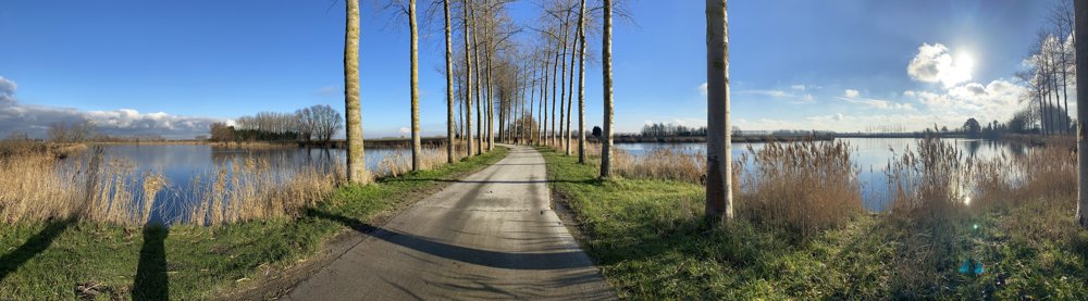
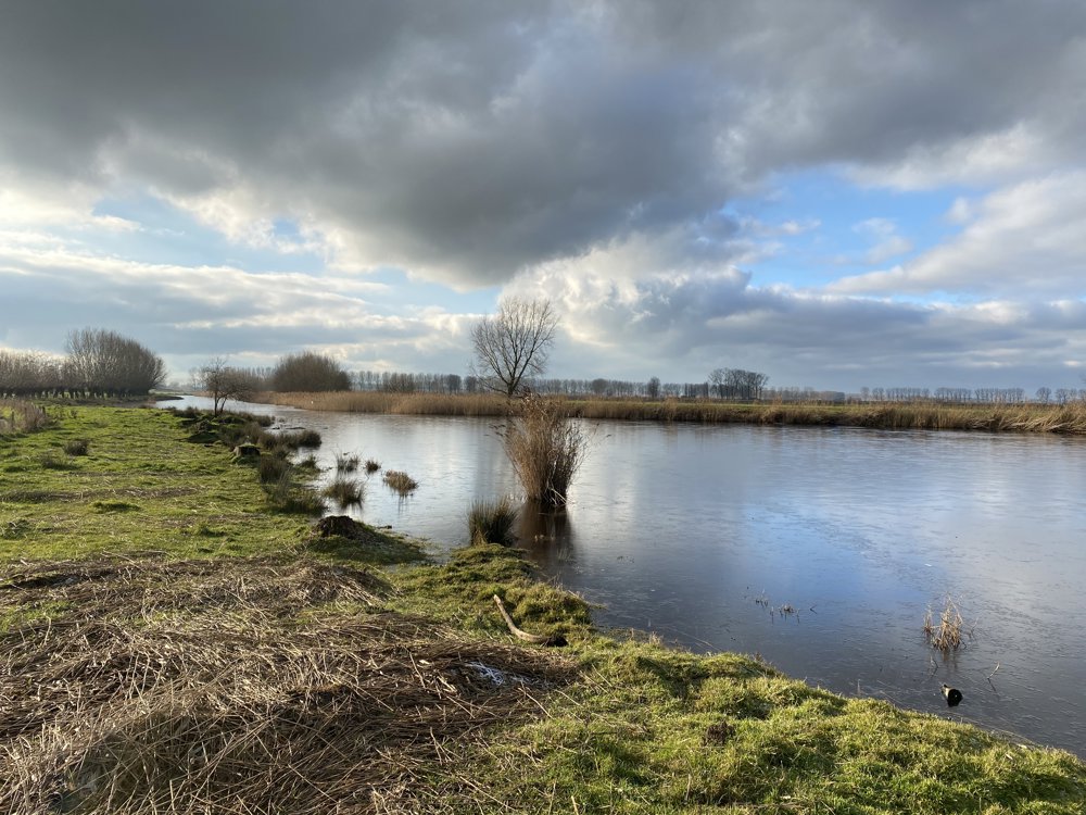
St. Margriette - 18.6 km

Flirting with the Zeeland border 🥾🥾

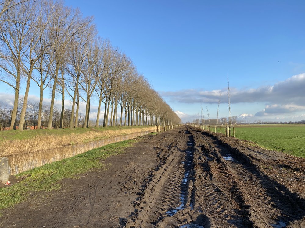
Very quiet walk, around and between unpaved paths, creeks and the canal.

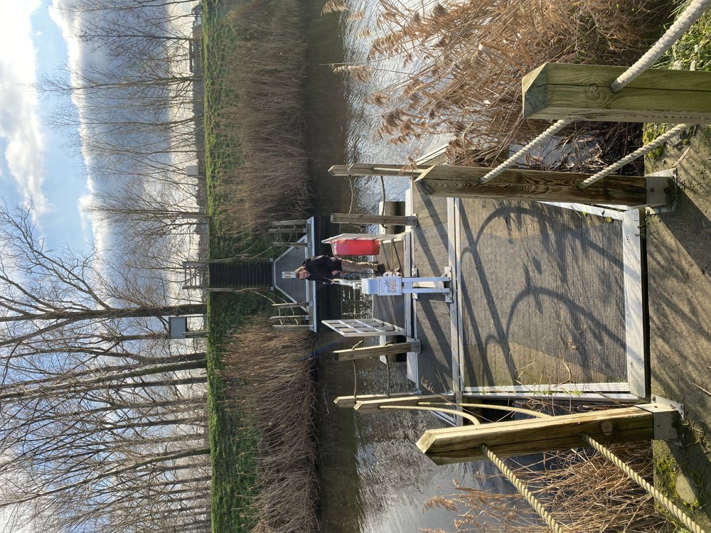
Super fun to cross the Leopold Canal using the foot ferry 😍

automatic translation

Icon nodes to follow nodes to follow

Image node 89
0 km
Image node 88
1.5 km
Image node 87
1.8 km
Image node 96
2.2 km
Image node 97
2.7 km
Image node 99
3.8 km
Image node 50
5.3 km
Image node 51
6.2 km
Image node 12
6.3 km
Image node 12
6.4 km
Image node 23
7.5 km
Image node 22
9.6 km
Image node 24
10 km
Image node 25
11.1 km
Image node 83
12.4 km
Image node 84
13 km
Image node 83
13.7 km
Image node 53
14.3 km
Image node 54
15.3 km
Image node 82
17.1 km
Image node 90
17.2 km
Image node 89
18.6 km
This route does not have any reviews yet. Be the first!
Rate route!

Which POI do you want to show on the map?

Experimental hiking network
Unsigned icon

The route you have chosen runs (partly) along an experimental virtual hiking node network (the blue-coloured nodes and sections on the map).

You must be logged in to plan routes here.

Experimental hiking network
Unsigned icon

The route you have chosen runs (partly) along an experimental virtual hiking node network (the blue-coloured nodes and sections on the map).

These routes are not controlled in the field. Before you start hiking here, take a minute to read what an experimental hiking node network is and what rules you should follow when hiking here.