 Hiking
 Login
Login More
More EN
EN Premium
Through the Aachen Forest
automatic translation
19.2 km • Kelmis
2260 0 0/5

 Addresse starting point (approximate)
Lütticher Straße 65, 4721 Kelmis, BE
 signage
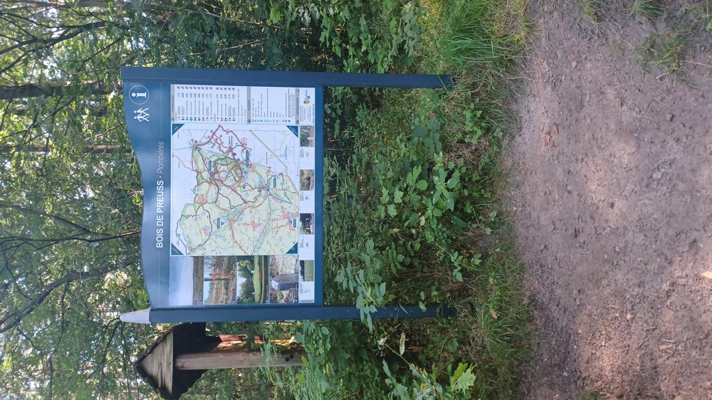
The route is fully signposted with nodes.
 Description
Parking: Heimbach; Tulje 90 (fishing pond)
Signposting: Junction points.
Not virtual as nowadays in Flanders, but physical junction points as they should be (imagine your device breaks down in the middle of a hike) well done Wallonia.
Strenuous hike with 374 meters of elevation gain. Most of it through the Aachenerwald. The last 3.5 km, after the village of Hergenrath, no more forest. Nice hike even though there is certainly a lot of asphalt in the first part, but I didn't really find it disturbing since you constantly walked through the forest.
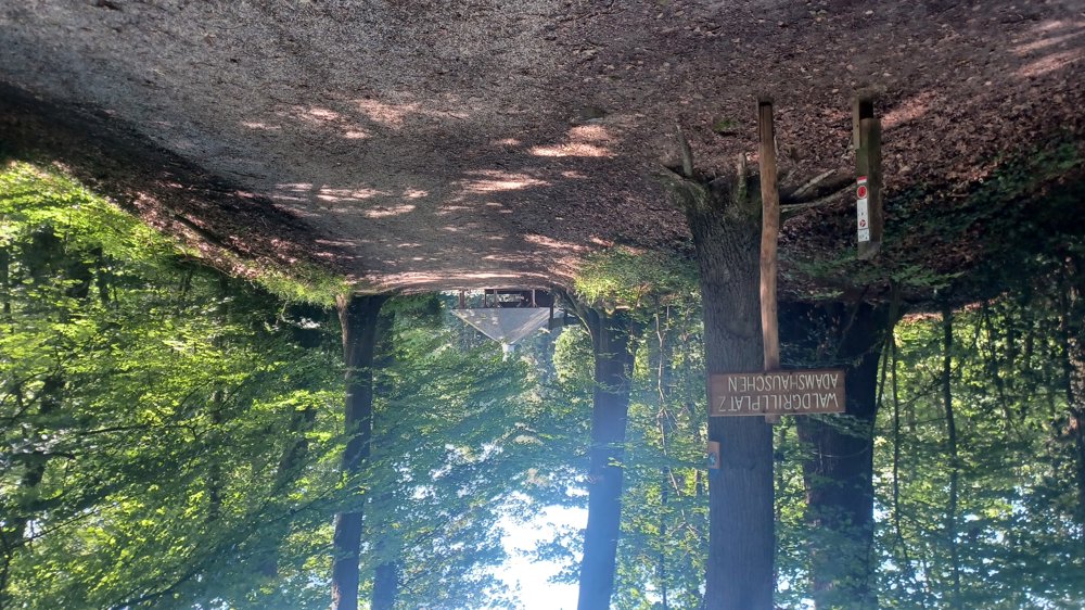
Rest benches: e.g., after 3.3 / 5.4 hut / 7.7 / 9.9 / 10.8 / 11.7 hut / 14.5 hut and 18 km.
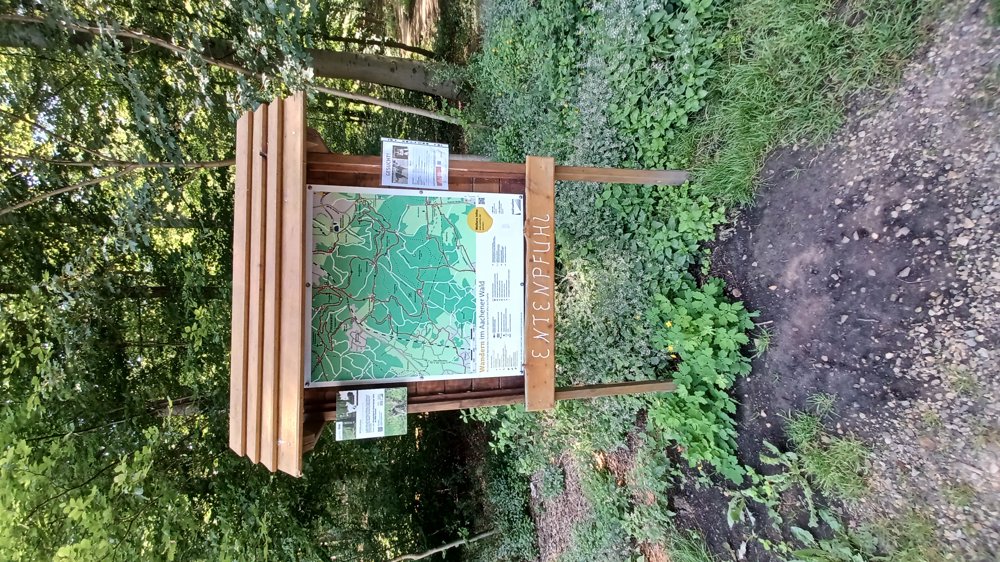
Catering: jp 51 “Gut Entenpfuhl” / “L'étable 67 - Das Grüne café” just past the SNCB station in Hergenrath.
automatic translation
 nodes to follow
0 km
1 km
1.2 km
1.3 km
3.3 km
3.7 km
4.3 km
5.1 km
5.4 km
5.8 km
6.2 km
6.8 km
7.1 km
7.4 km
8.8 km
9.6 km
9.7 km
11.3 km
13.2 km
14.5 km
14.8 km
15.8 km
16.9 km
17.6 km
17.7 km
18.3 km
18.5 km
19.1 km

19.1 km

19.2 km


 Upgrade to Premium Plus
