 Hiking
 Login
Login More
More EN
EN Premium
Walk Jette-Ganshoren
automatic translation
8.1 km • Ganshoren
4970 0 0/5
8.1 km
0.0 km
0.0 km
10 km
© OpenStreetMap contributors, Tracestrack

 Addresse starting point (approximate)
Bosstraat 1, 1083 Brussels, BE
 signage
The route is not signposted. Use a GPS device or our app to follow the route.
© Sarah wandel.hike.belgië
 Description
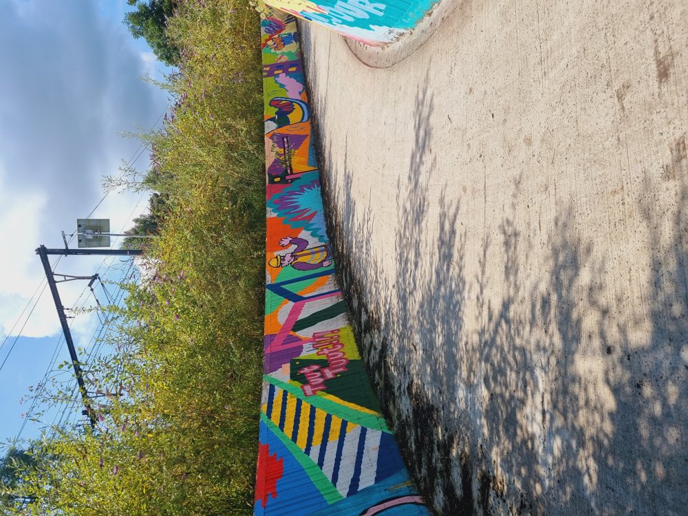
Nice walk but I felt that I wasn't REALLY in the middle of nature. Urbanization nearby, presence of the highway, etc. was a bit of a letdown for me, but well, opinions are divided 🤷♀️
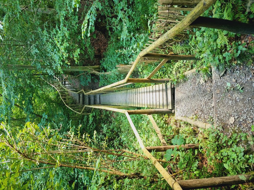
The nice wooden stairs made me happy again at the end 🫶🏻
👩🏫 Rating: 7/10
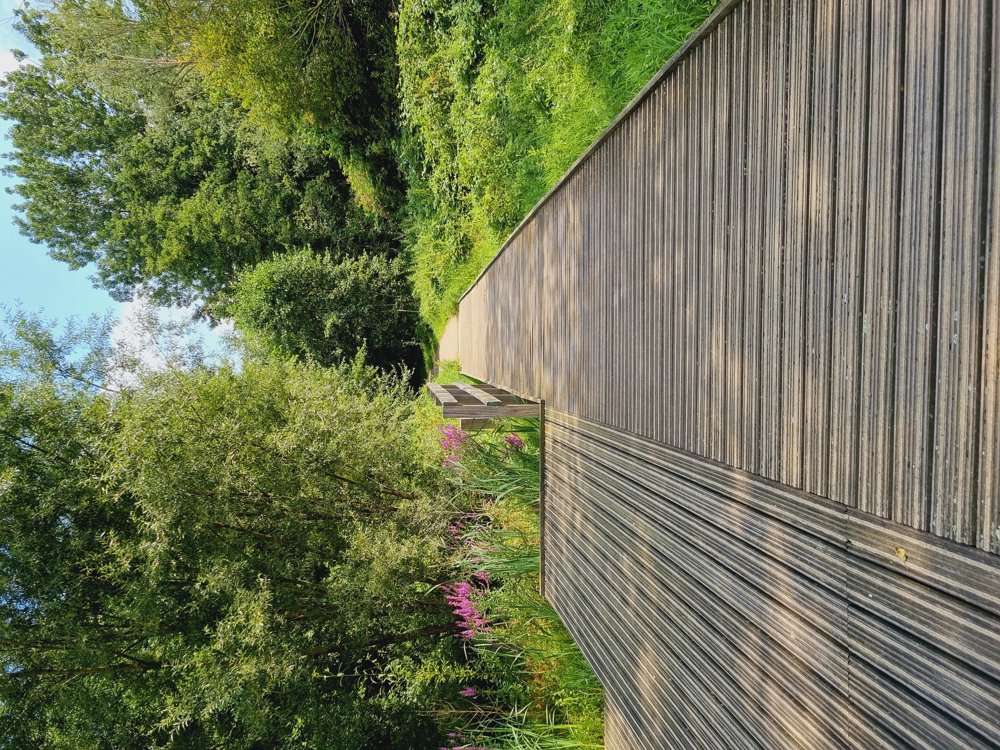
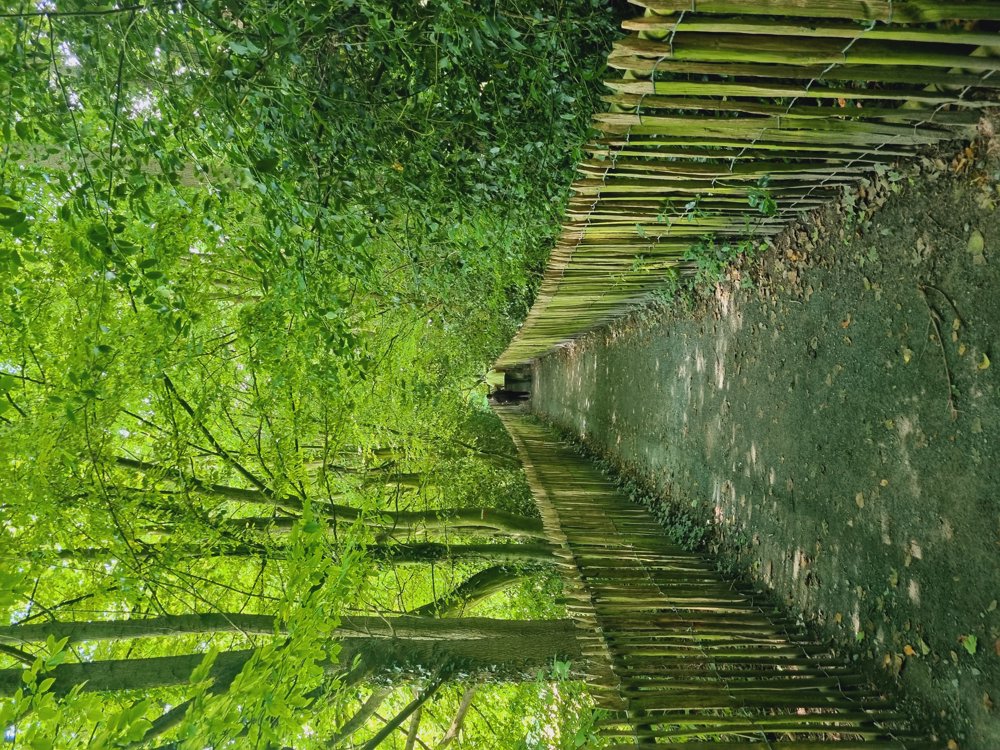
➕️ Beautiful nature
➖️ You may be bothered by noise near the Brussels ring (small section).
➖️ Lots of mosquitoes in the woods 🦟 (Long pants recommended)
📏 8 km (77% unpaved)
👶🏻 Not Buggy-proof
🅿️ Bosstraat 1, Ganshoren [Flemish Brabant]
Happy hiking 👣
automatic translation


 Upgrade to Premium Plus
