 Hiking
 Login
Login More
More EN
EN Premium
Through forest, field, heath and lakes from "Geshaa"
automatic translation
15.4 km • Putte
6070 0 0/5

 Addresse starting point (approximate)
Kerkhoflei 1, 2580 Putte, BE
 signage
The route is not signposted. Use a GPS device or our app to follow the route.
 Description
Park at the church of Grasheide ("Geshaa" = local dialect).
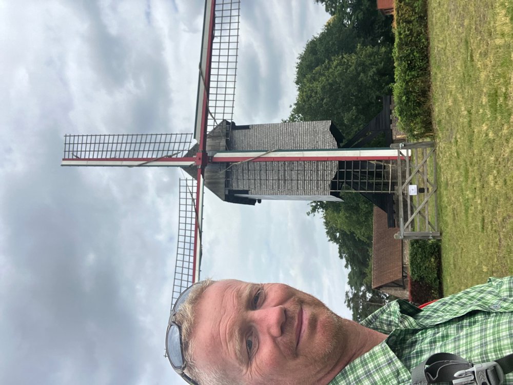
You immediately leave the village center through unpaved forest and field paths. Via low-traffic roads, you move towards Keerbergen, where you pass the Heidemolen. Through the wooded area and the Pommelsven, a remnant of marshland where the rare Bell Gentian grows, you look for stately villas near the lake. From the terrace of "Hostellerie De Witte Meren" or the Gault Millau noted restaurant "The Lake" (no dogs!), you have a beautiful view.
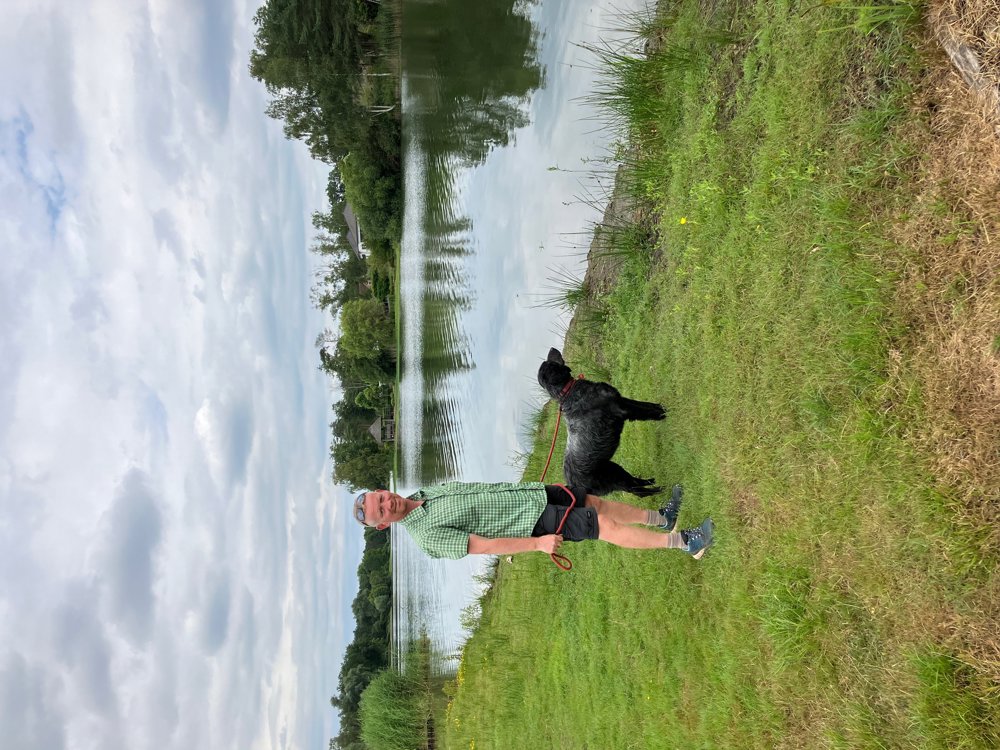
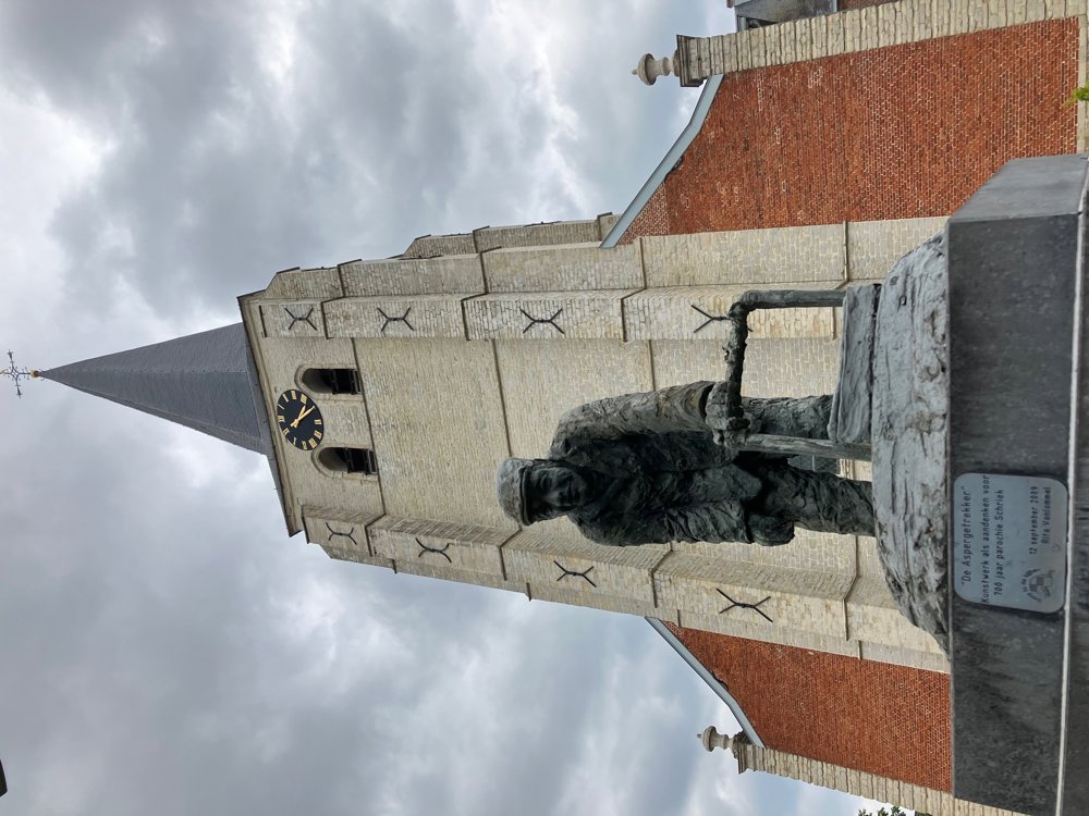
The unpaved Schaleken quickly leads you to Schriek, where you can choose a cozy terrace after viewing the artwork "The Asparagus Puller" in front of the church. You walk past a few farms (blueberries, asparagus, and chicory) and a Saint Anthony's Chapel before re-entering the territory of Grasheide. At the beautiful pond of the fishing club 't Ven, you can take one last terrace.
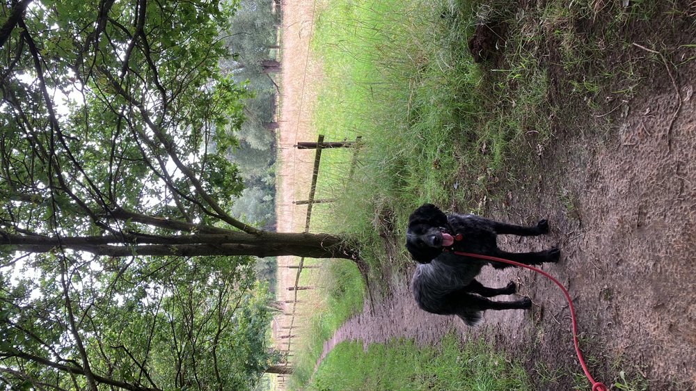
High walking shoes in wet weather. Dogs on a leash.
automatic translation


 Upgrade to Premium Plus
