 Hiking
 Login
Login More
More EN
EN Premium
Dream Trail Mountain Gorge Path Ehrenburg
automatic translation
17.7 km • Landkreis Mayen-Koblenz
1380 0 0/5

 Addresse starting point (approximate)
Salzwiese 5, 56332 Rhein-Mosel, DE
 signage
The route is fully signposted with thematic signs (no nodes).
 Description
Parking: Brodenbach, Salzwiese parking lot. (official start of the Niederbach 1 hike)
Signage: Like all Traumpfade, the signage is excellent, follow the Traumpfade signs.
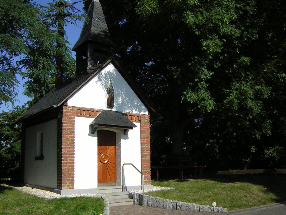
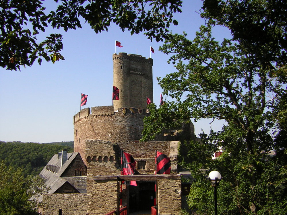
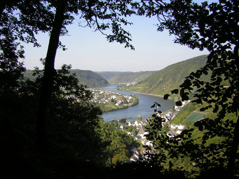
You start at an altitude of 75m and hike to the top of the Schafberg (364hm) so a steep climb. Then towards Antonius Chapel and to the highest point, the viewpoint on Nörtershausen. Then downhill to the Brodenbach Valley. From the shelter, it's 2km slightly uphill and then another 125 meters of ascent. As a nice reward, 1km further, the imposing Ehrenburg. Further downhill to a parking lot and then another final climb of 100 hm. From then on, it's predominantly downhill to the endpoint. This is the longest hike of the “Traumpfade” and definitely worth doing.
There are regular resting benches. The hike received 65 points from the German walking institute. 879 meters of ascent, bring your trekking poles.
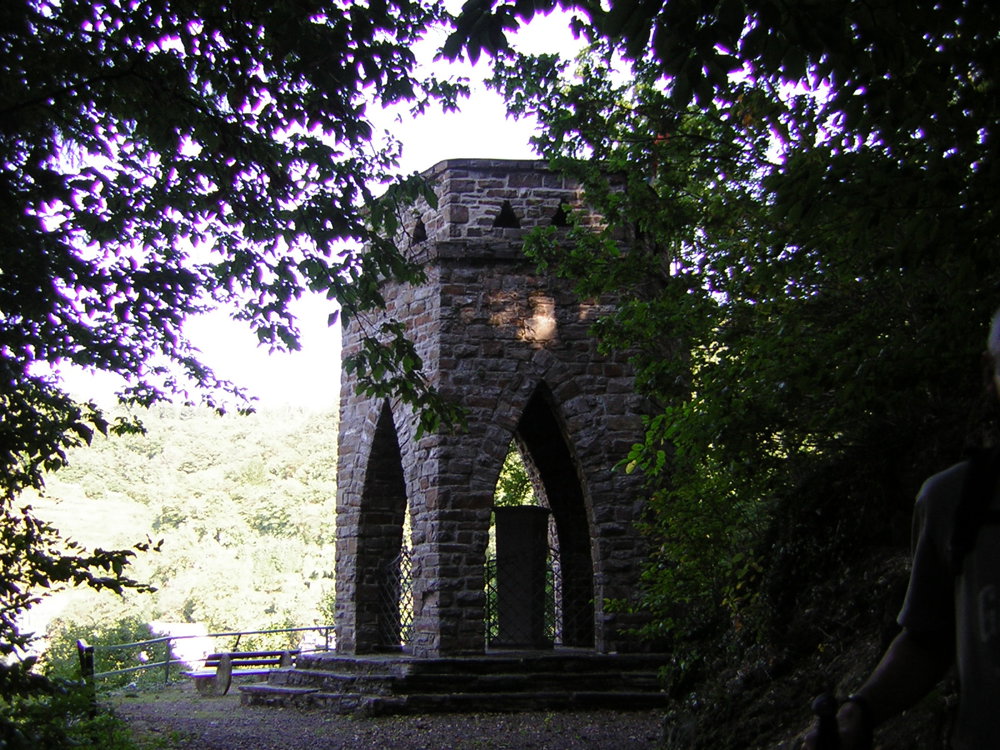
Highlights: the viewpoints, Antonius Chapel, Felshöhe, Ehrenburg, Brodenbach Memorial.
automatic translation


 Upgrade to Premium Plus
