 Hiking
 Login
Login More
More EN
EN Premium
From the Giant to the Sculpture Park
automatic translation
11 km • Beekdaelen
3641 0 0/5

 Addresse starting point (approximate)
De Bockhofweg 10, 6333AZ Nuth, NL
 signage
The route is not signposted. Use a GPS device or our app to follow the route.
 Description
Fantastic beautiful walk!
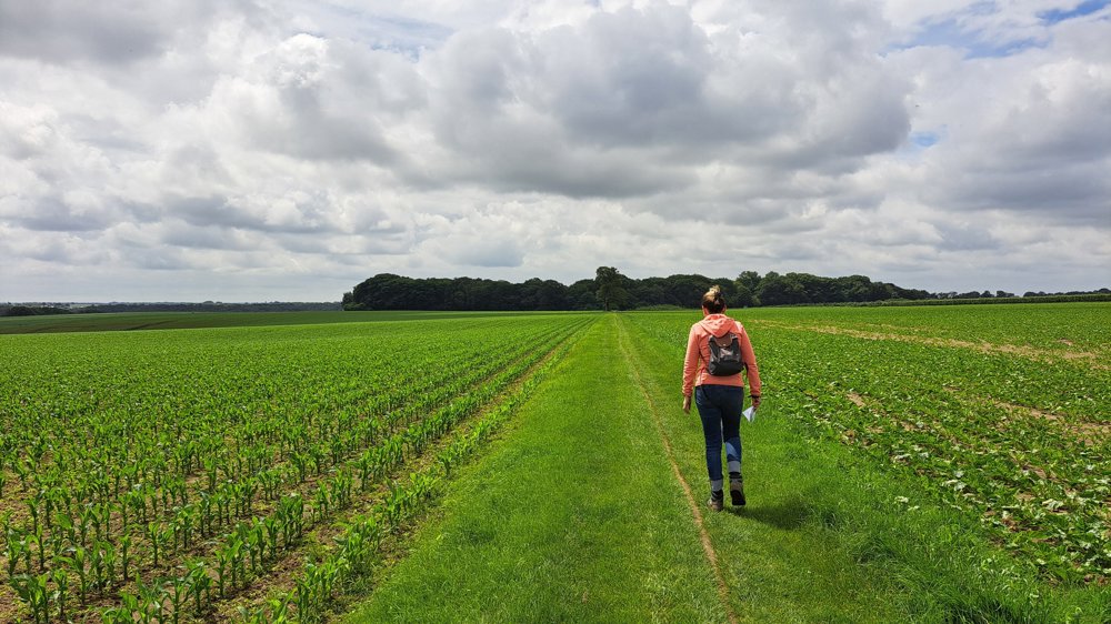
We start at the 38-meter-high Giant. In the village, we pass the Drop at the roundabout. A little further, we follow a grass path to the Sacred Heart Statue. Through a strange row of trees, we continue our walk and end up on a field road, followed by an ascending hollow road.
On the plateau, we have a beautiful view of Valkenburg. We pass a centuries-old hollow oak. Napoleon used this thick tree as a landmark. We dive into the picturesque Monastery Forest.
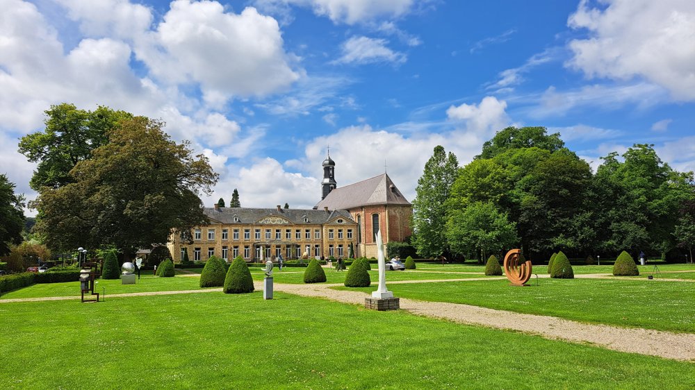
In the village of Houthem, the station has been converted into an original holiday home. A little further stands the St. Gerlach Church with its beautiful mosaic wall and impressive tomb. Then we go through Julianapark, a beautiful sculpture garden.
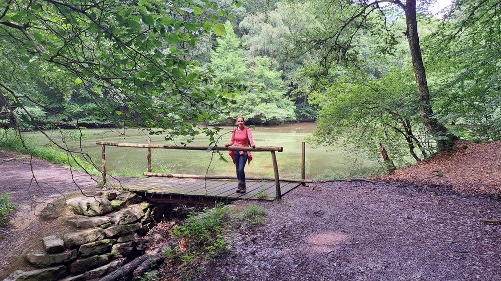
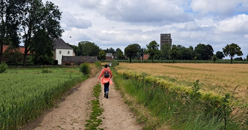
We leave the village and start an adventurous journey through the Ravensbos, with steep slopes, hidden paths between ferns, and a beautiful forest pond with ducks. Via stairs, we leave the forest and follow the field road to where the Giant awaits us again.
automatic translation


 Upgrade to Premium Plus
