 Hiking
 Login
Login More
More EN
EN Premium
Along forest, pond, and stately homes around Ulvenhout
automatic translation
8.9 km • Breda
5992 0 0/5

 Addresse starting point (approximate)
Dorpstraat 63, 4851CK Breda, NL
 signage
The route is fully signposted with nodes.
 Description
Park in Ulvenhout in the parking lot on Mgr. van Hooydonkstraat, not far from the starting point at the church.
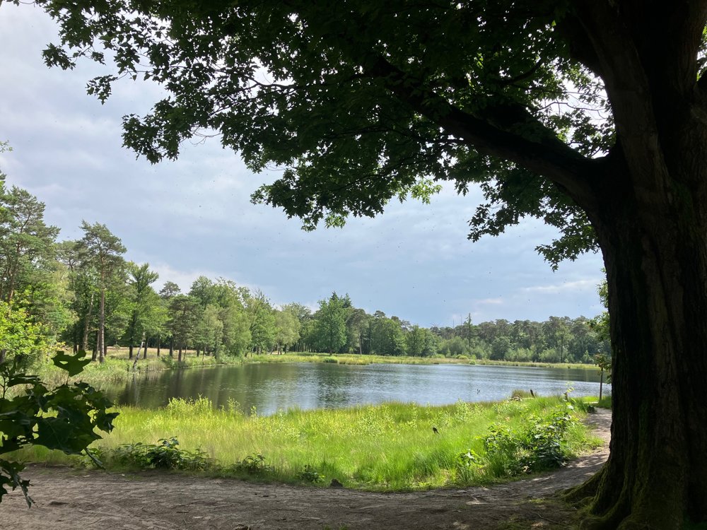
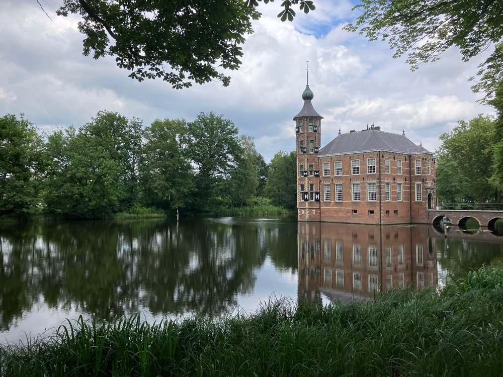
Almost immediately, you dive into the Mark Valley and soon reach the stately Mastbos with its beautiful fens. Winding forest paths and mighty avenues take you to the magnificent Bouvigne Estate with its castle, numerous outbuildings, and gardens to visit.
Further on, you reach the Wolfslaar Estate, where in the up to a thousand-year-old forests many wolves once roamed, but now it's a place for chic occasions in the manor house itself or animal fun on the farm. Or simply sit in Charlotte's Garden House and taste the flavor of a local Chaams beer from Dorpsbrouwerij De Pimpelmeesch.
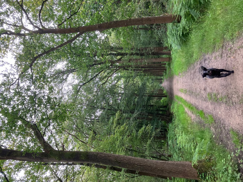
Through the Ulvenhout forest, you return to the starting point where you can conclude with a cozy terrace.
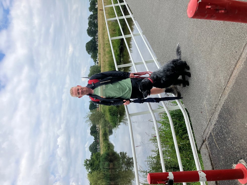
Dogs are welcome on a leash, and in two places there is a large off-leash area in the forest. The walk can easily be extended in the forest areas. There are regular resting benches.
automatic translation
 nodes to follow
0 km
0.8 km
0.8 km
1 km
2.1 km
2.7 km
2.8 km
2.9 km
3.6 km
4.4 km
4.5 km
4.8 km
5.2 km
5.3 km
5.6 km
5.8 km
6.1 km
6.3 km
6.3 km
6.6 km
7 km
7.5 km
7.6 km
7.9 km
8.3 km
8.8 km
8.9 km


 Upgrade to Premium Plus
