 Hiking
 Login
Login More
More EN
EN Premium
Farms, forest and mountain in Beerzel
automatic translation
8.2 km • Putte
1.4012 0 0/5

 Addresse starting point (approximate)
Bareelstraat 9, 2580 Putte, BE
 signage
The route is not signposted. Use a GPS device or our app to follow the route.
 Description
Park your car behind the church in Beerzel.
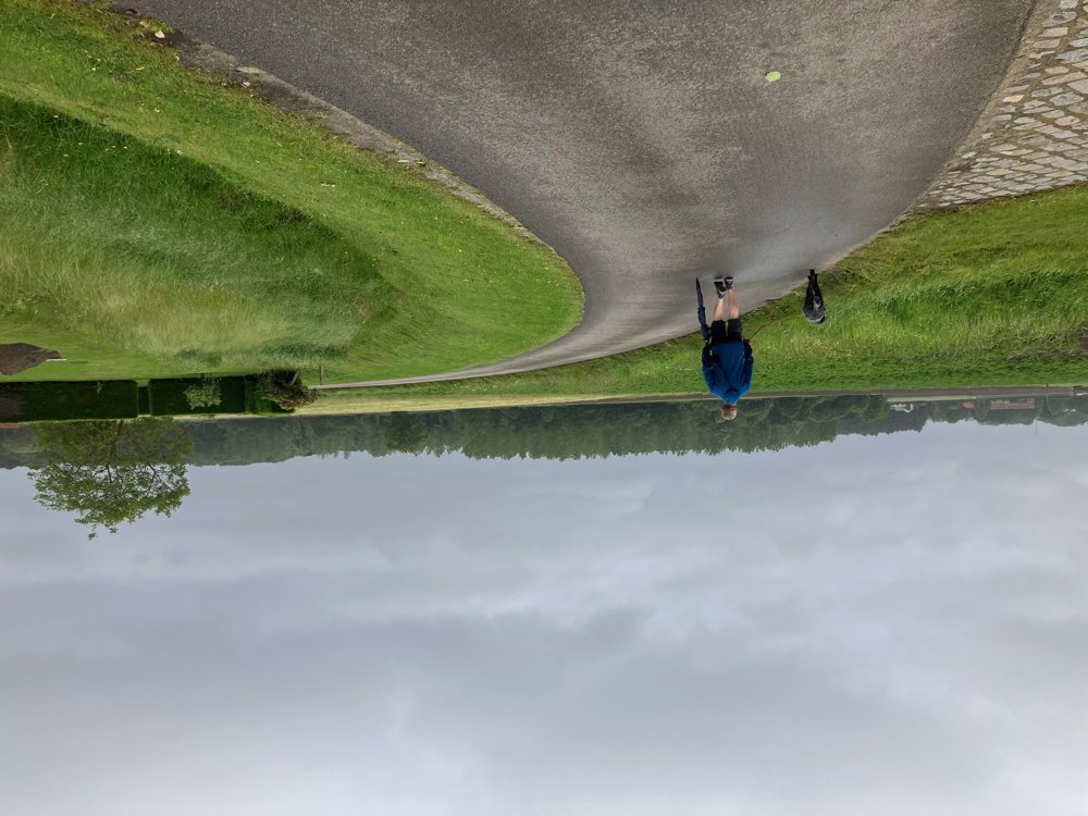
Immediately, you leave the lively center via a field road. Along quiet roads alternating with similar paths, you pass by old and new farms of this rural village.
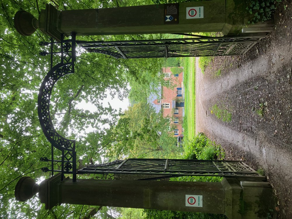
It doesn't take long before you enter the Kempen's Landscape Speelbergenbos with the 14th-century Pilgrim's Court.
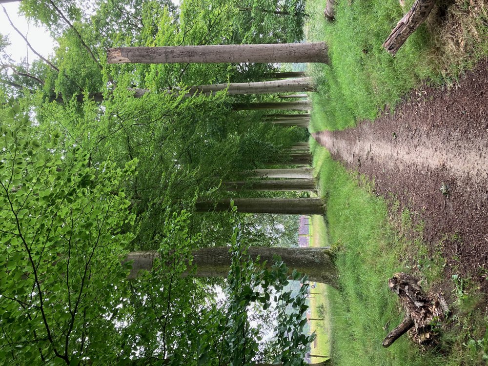
Instead of going along Kastanjedreef and Peredreef to Heiststeenweg, you can also take the avenue directly opposite Pilgrim's Court. You then only need to go a small distance to the left along the main road and can immediately turn right between two new houses (This is different on the map!).
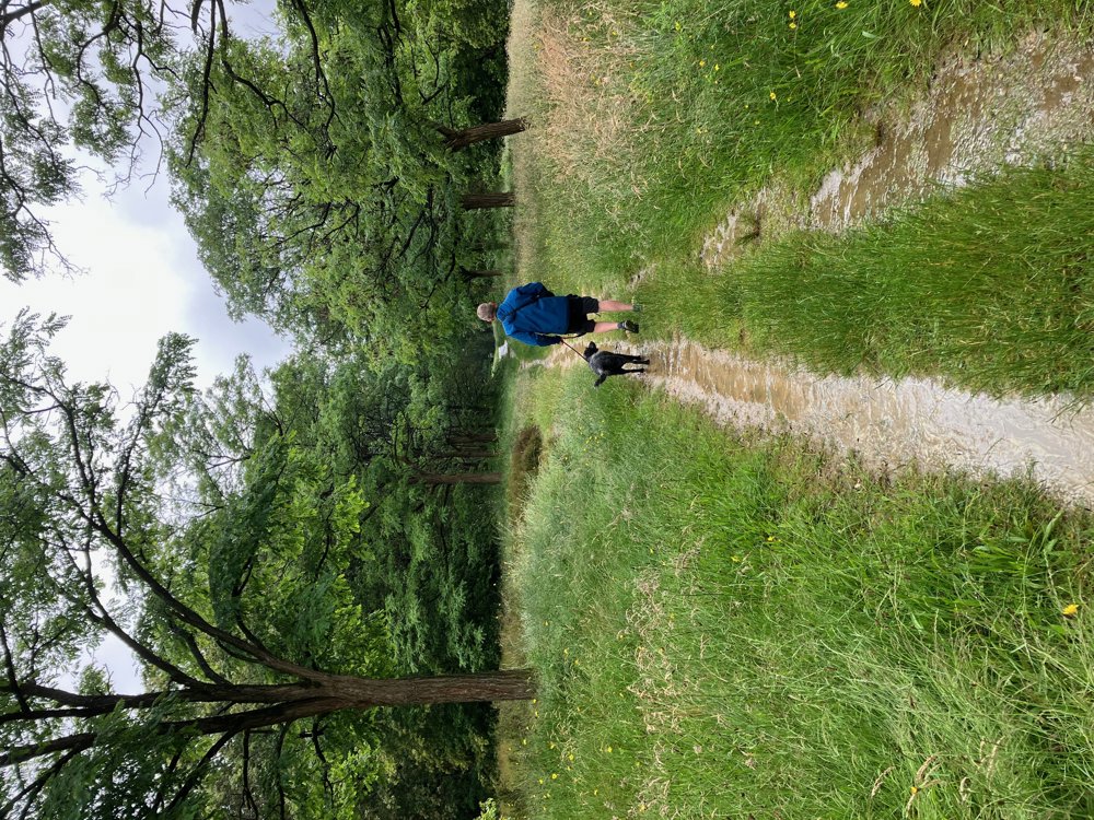
Via Berglaan, you then slowly begin to climb the highest natural hill in the province of Antwerp at 51.60m high, namely the witness hill Beerzelberg. Just before the nature reserve, you can first take a break at the tavern of the same name.
Along a narrow street, you will be back in the lively center by your car. Dogs allowed on a leash.
automatic translation


 Upgrade to Premium Plus
